What We Do
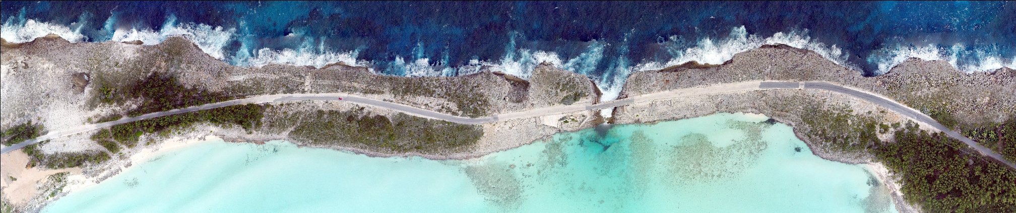
We explore the merging of geomatics, remote sensing, and geospatial computing to aid scientific and engineering decision-making through improved measurement and analytics of natural and built systems.
Areas of Expertise
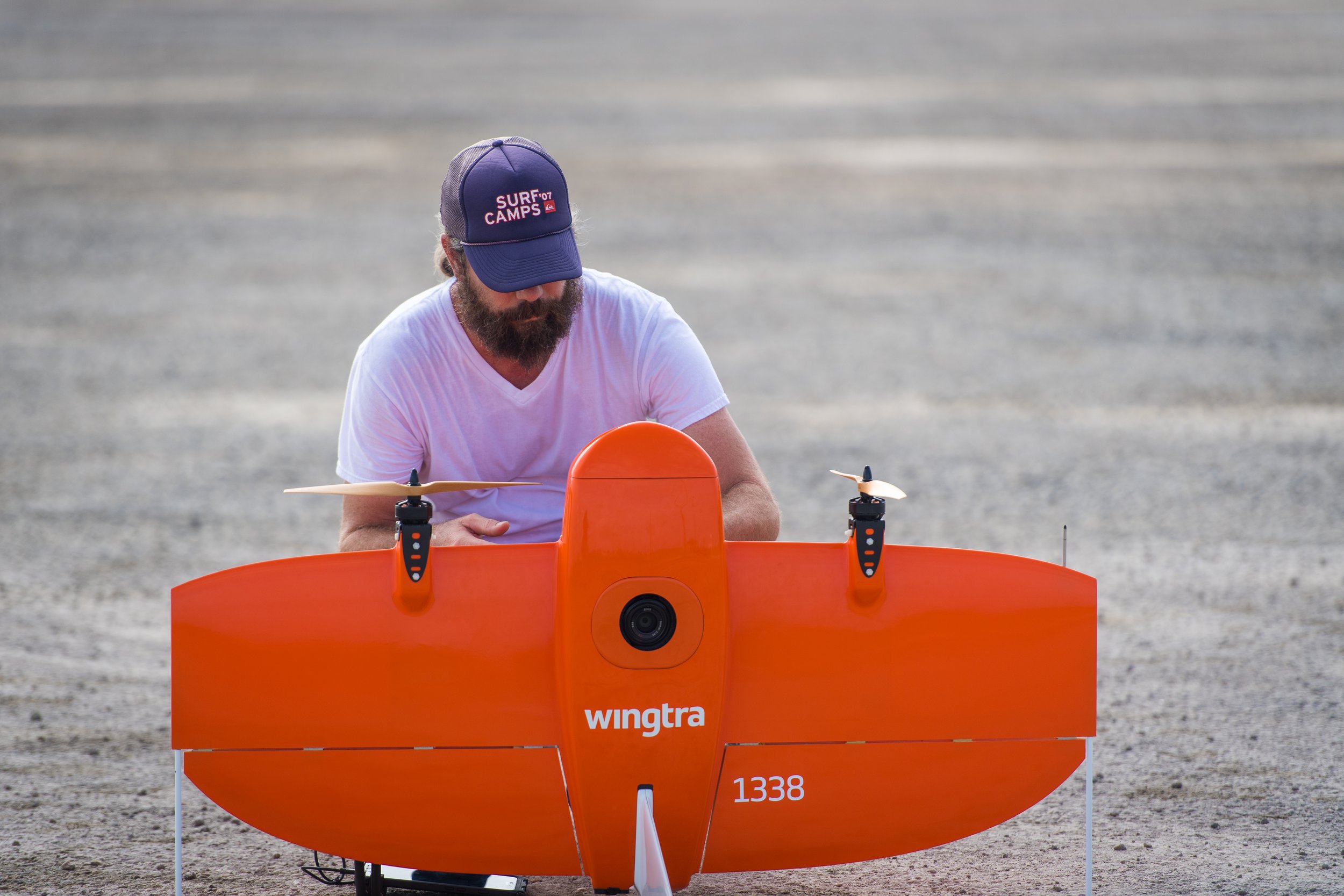
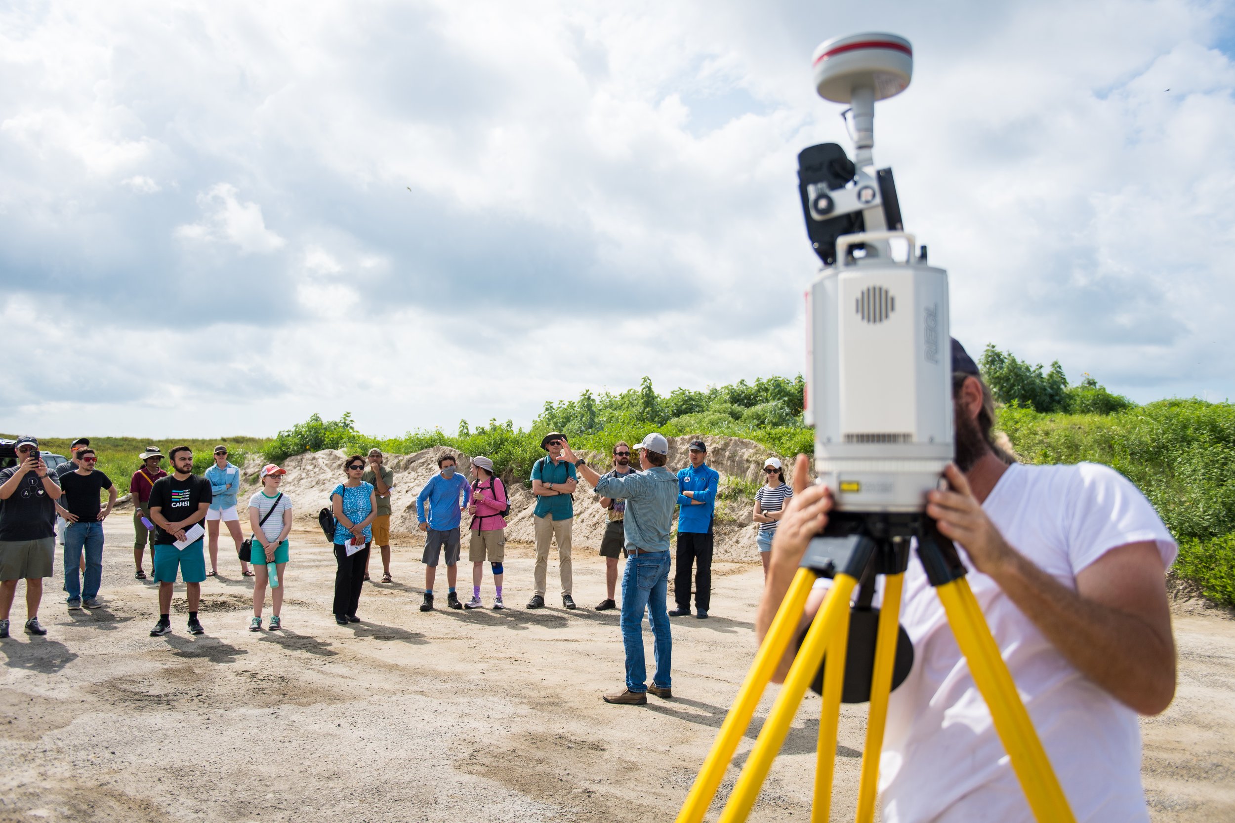
UAS & Autonomous Mapping
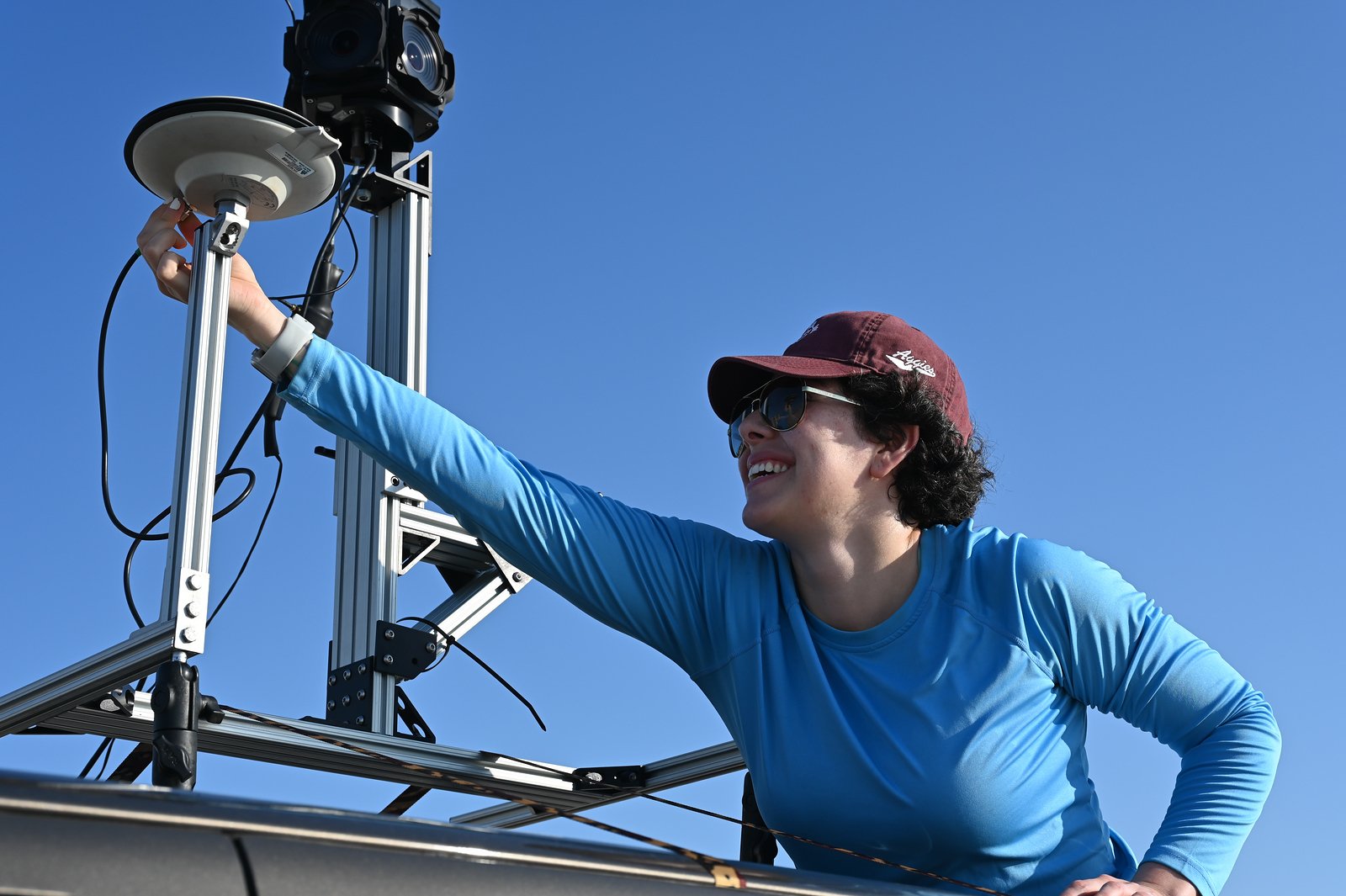
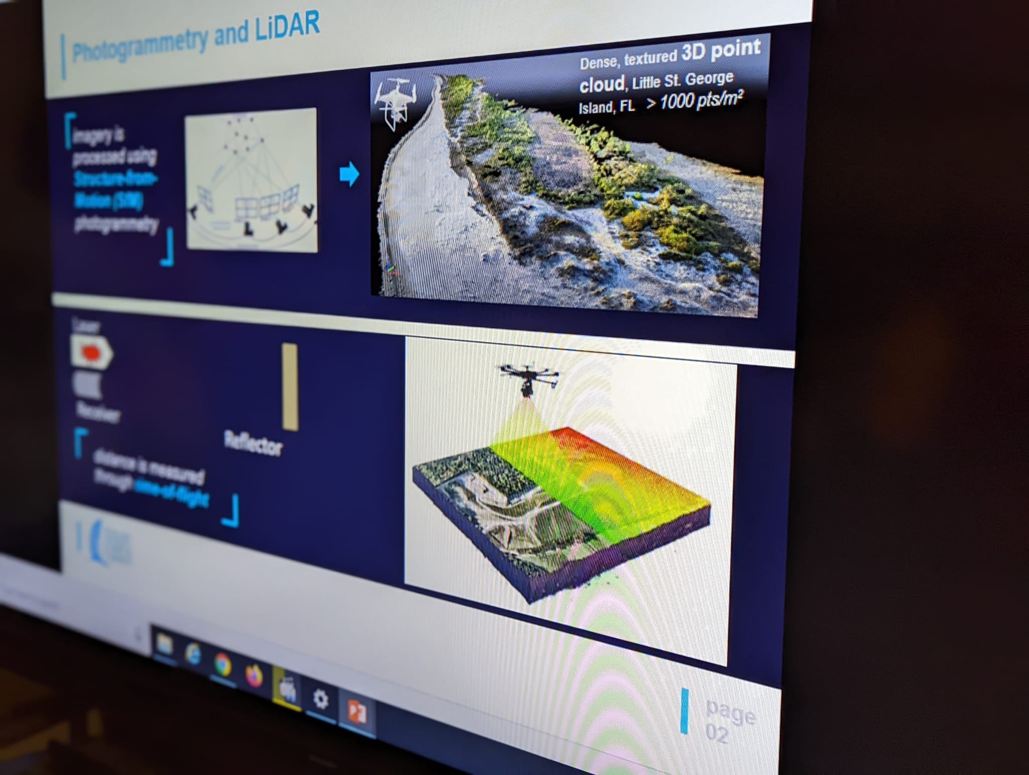
Lidar and Photogrammetry
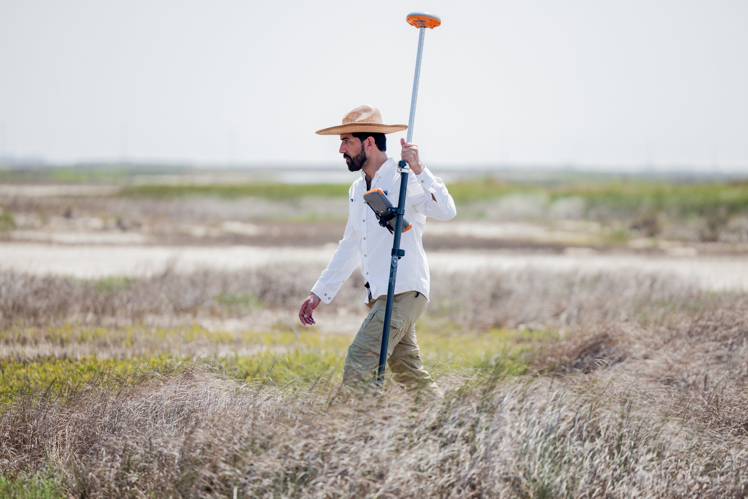
Geomatics Engineering & GIS
Precise Positioning Technology
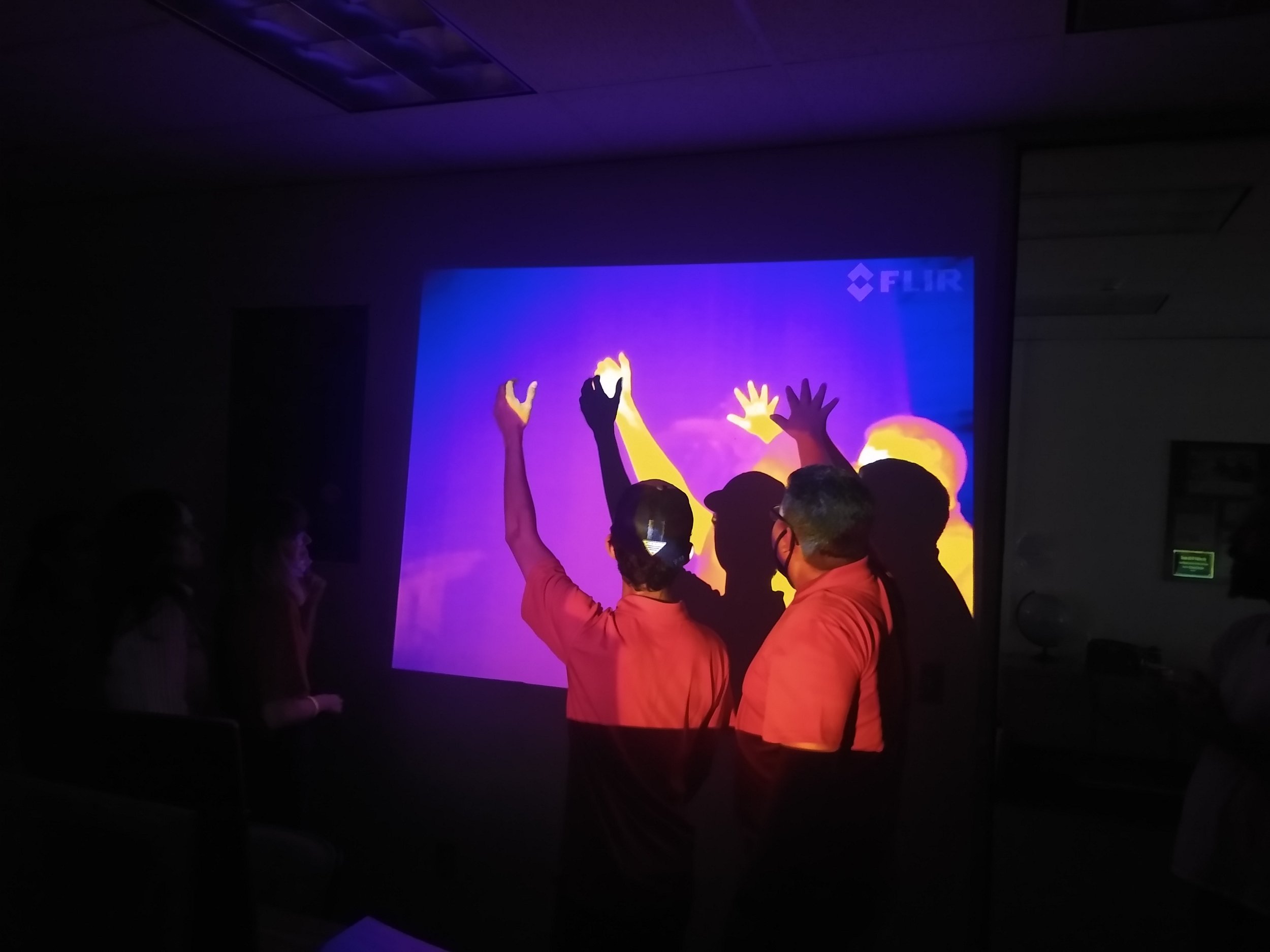
Computer Vision & Geospatial AI
InSAR and Geodetic Remote Sensing