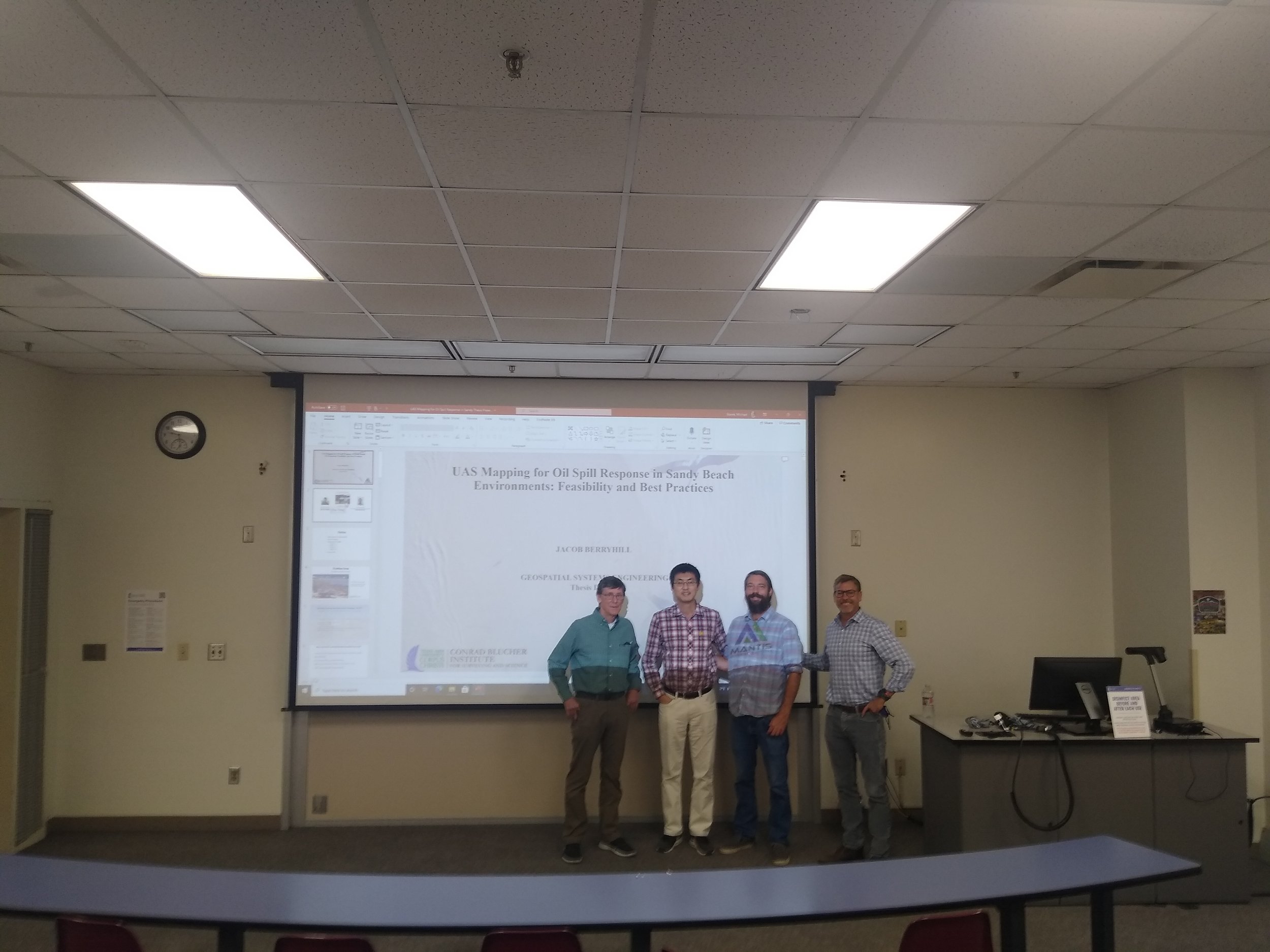
Jake Berryhill and his defense committee members: Dr. Jim Gibeaut, Dr. Tianxing Chu & Dr. Michael Starek
Jacob Berryhill has a long duration connection with MANTIS Lab: he has been working with MANTIS since 2013 while pursuing his bachelor’s degree in Geographic Information Science. After his graduation, he continued working with MANTIS and in 2020 he became an effective MANTIS staff as a Research Engineering Associate II. This past Friday, November 12th, Jake has assured his master’s degree in Geospatial Systems Engineering after successfully defending his thesis, UAS Mapping for Oil Spill Response in Sandy Beach Environments: Feasibility and Best Practices. To learn more, read his abstract below.
ABSTRACT
Oil spill events can be catastrophically harmful to coastal ecosystems, causing considerable long-term environmental and economic impacts. Conducting accurate surveys immediately after a spill incident is of crucial importance for locating, determining oiling extent and volume, and for monitoring oil movement. Historically visual observations and traditional survey methods are performed to investigate the affected shoreline after a spill. Diagnosis of oiling extent is limited to line-of-sight observations on the ground or by expensive manned aircraft operations. Unmanned Aircraft Systems (UAS) have been increasingly employed in various real-world applications with UAS structure from motion (SfM) photogrammetry becoming an emerging, cost-effective and flexible solution for fulfilling various surveying and mapping needs. This thesis examined the potential and feasibility of using commercially available small UAS platforms with SfM photogrammetric techniques for shoreline oiling surveying. The state of the art of UAS-SfM surveying pertaining to oil spill response was reviewed, and studies performed in support of developing guidelines for UAS-SfM mapping best practices for Shoreline Cleanup and Assessment Technique (SCAT). A typical stretch of beach in South Texas was chosen as the study area in the thesis. The study site contains beaches that are both maintained and unmaintained. Based on the data collected at the study area, research findings suggest that without ground control points (GCPs), SfM processing with post-processing kinematic (PPK) or real-time kinematic (RTK) global navigation satellite system (GNSS) enabled image location geotags can achieve remarkably higher accuracy than that with autonomous GNSS image location geotags. Adding more GCPs can improve the accuracy for autonomous GNSS geotagged images. For the specific study area, the accuracy performance of the PPK/RTK GNSS SfM products is on par with that of the autonomous GNSS enabled products with rigorous GCPs. By comparing against check points, the z residuals of a SfM-generated DSM were found better near the center of the beach and worse towards the water and in the dunes and vegetation. A GCP control network was found to alleviate the bowling effect. An alternative solution for alleviating the bowling effect is the use of high overlap oblique imagery and/or multi-elevation coverage. In time critical cases where rapid SfM processing is essential, commercial SfM software demonstrated that several hours may be saved in processing in exchange for lower quality geospatial data products.

