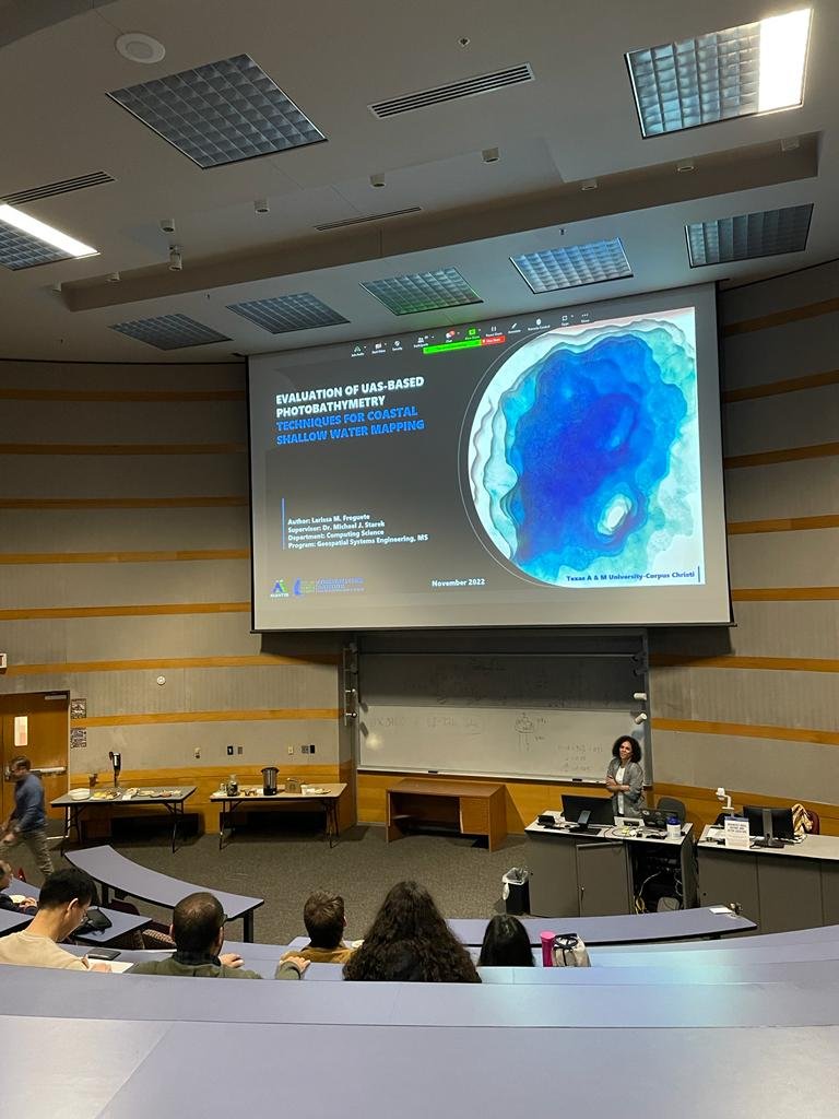
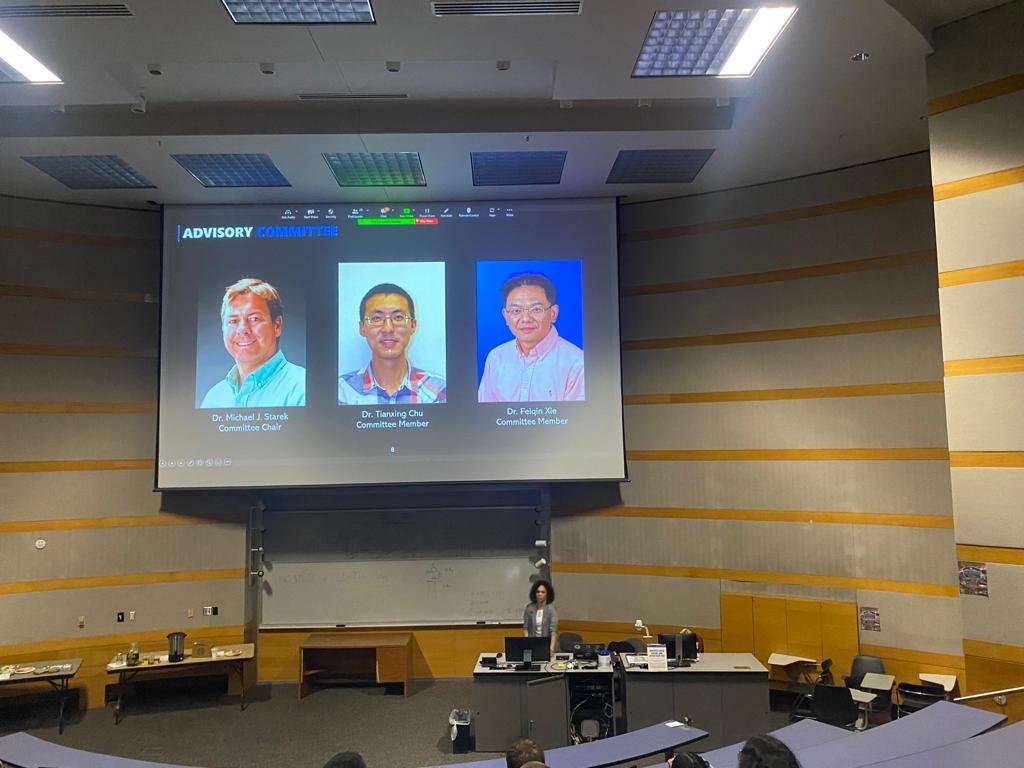
One more to the MANTIS’ records! 2022 has been a year full of accomplishments for our lab: the master's student Larissa Marques Freguete has joined the list of MANTIS members who have successfully defended their research work this year. On November 15th, she publicly presented her master’s thesis titled Evaluation of UAS-based Photobathymetry Techniques for Coastal Shallow Water Mapping.
Larissa has been working with Remote Sensing with applications within the ocean realm since her bachelor studies and has dedicated herself to coastal bathymetry mapping subject after joining the MANTIS group as a master’s student. For her research topic, she accepted the challenge of tackling the issue of UAS-based photobathymetry techniques and has successfully accomplished it. To learn more about her thesis work, read the abstract below.
Abstract
Uncrewed Aircraft System (UAS)-based photobathymetry techniques are perceived as a solution for a more flexible, cost-effective, time-consistent, and spatially denser bathymetric mapping in shallow coastal waters. These are emerging techniques, implemented by small UAS equipped with digital cameras, and have only started to be explored, so questions about their application capabilities remain to be answered. This study aims to compare the three main UAS photobathymetry techniques (video-based linear depth inversion, optical inversion, structure-from-motion/multi-view stereo (SfM-MVS) photogrammetry) and UAS-based bathymetric light detection and ranging (lidar) regarding their operational advantages and limitations. The comparison was based on a literature review and on the performance assessment of two conceptually opposing UAS photobathymetry techniques: video-based linear depth inversion using the cBathy algorithm and SfM-MVS photogrammetry referred to as UAS-SfM. Flight experiments were conducted over a wave-dominated sandy beach on Mustang Island, TX, for the evaluation of linear depth inversion and over wave-protected bayside areas of St. George Island, FL, and Mustang Island, TX. The flights over bayside areas were set to evaluate the effect of camera orientation, solar elevation angle, and ground sample distance (GSD) on UAS-SfM performance. The cBathy algorithm provided a digital surface model (DSM) of the surf zone bathymetry with an overall root mean square error (RMSE) of 0.21 m. Performance of the UAS-SfM flight experiments varied by study site and flight design. The flight with a camera orientation of 30o off-nadir, orientated along the sun azimuth, at high solar elevation angle, and at an altitude of 100 m produced the most accurate bathymetric DSM with an RMSE of 0.15 m at the Florida study site. Based on the comparative field tests and literature review, the ultimate contribution of this work entails a set of guidelines and recommendations for the operational use of the various UAS-based photobathymetry techniques.


