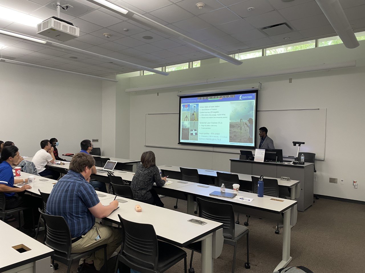
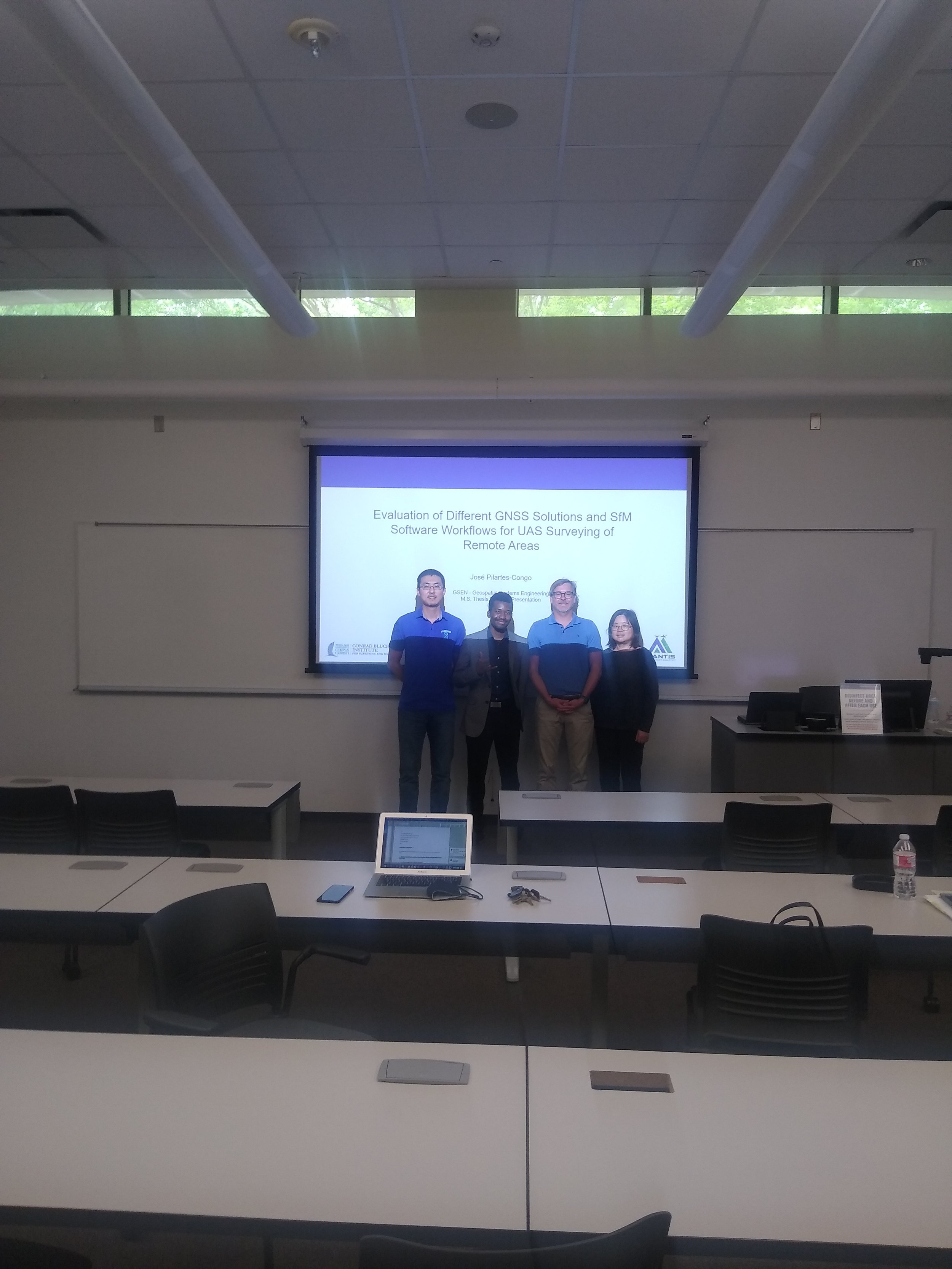
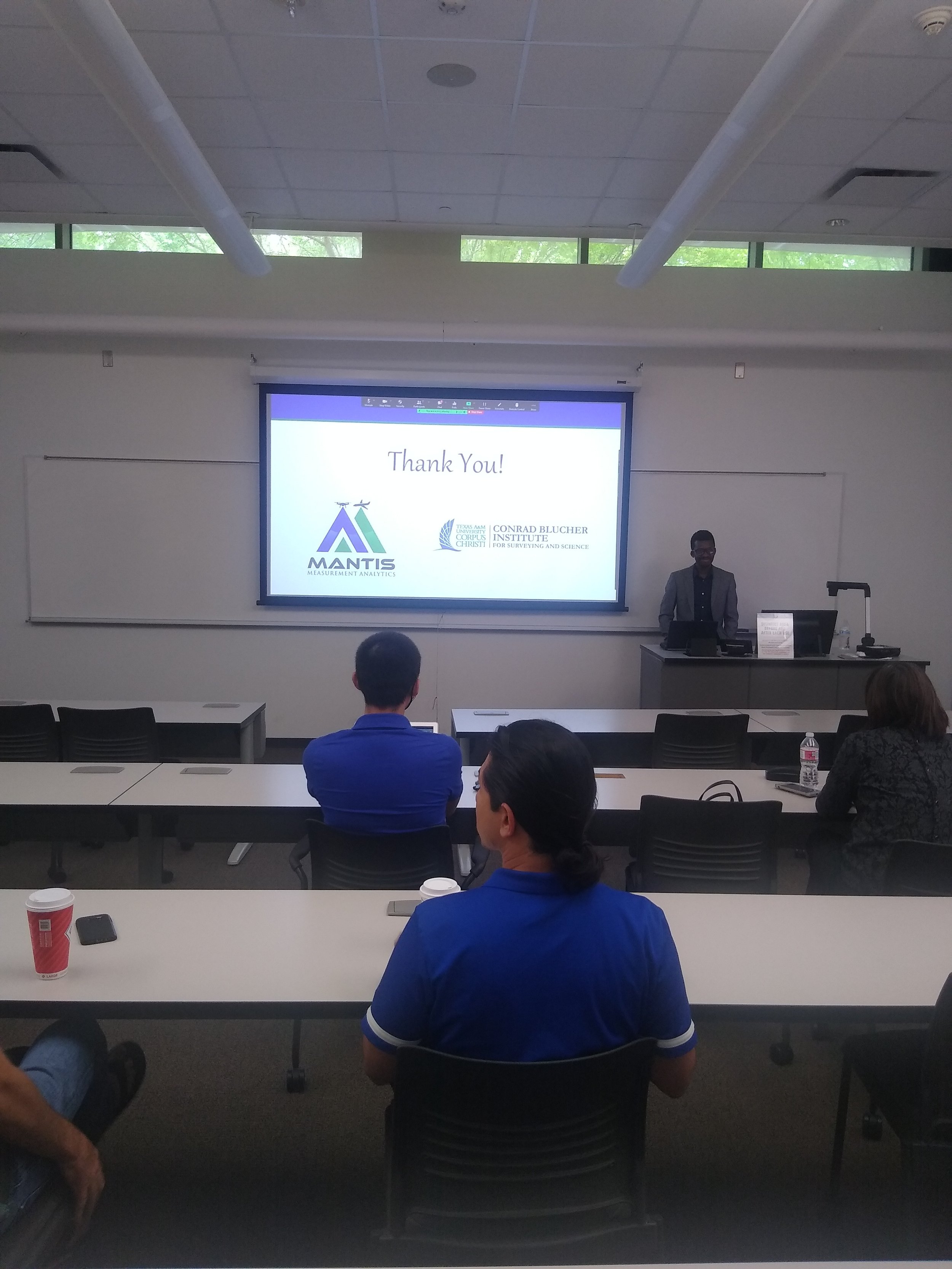
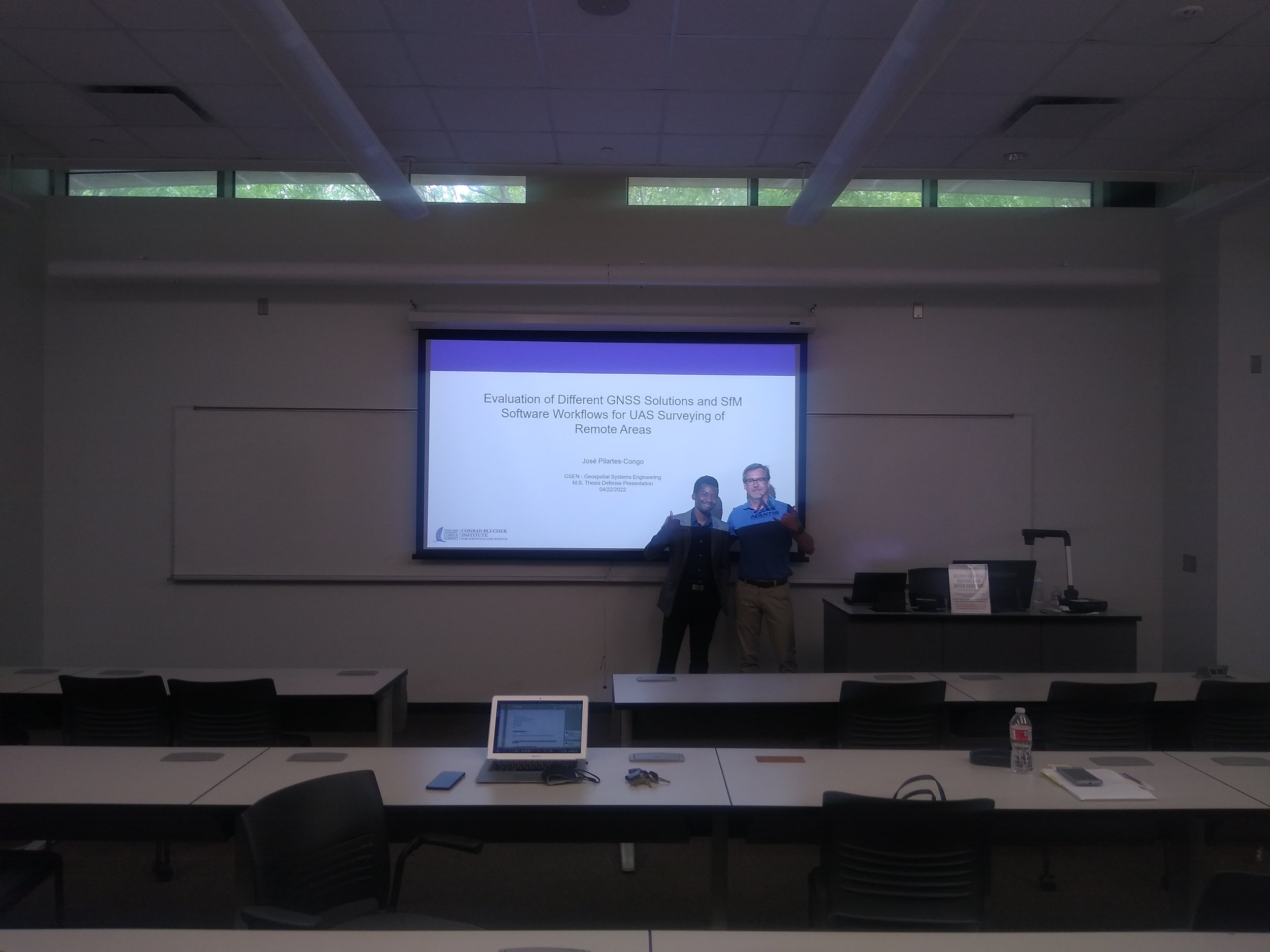
This past Friday, April 22nd, 2022, one more of MANTIS members, Jose Pilartes-Congo, has successfully defended his master’s thesis: Evaluation of Different GNSS Solutions and SfM Software Workflows for UAS Surveying of Shorelines.
José became part of the MANTIS family as an undergraduate student and stayed for his master’s degree. During his time as a master’s student, he focused on studying the impact of different methods for direct georeferencing of UAS-based imagery and the vertical accuracy performance of different SfM-MVS photogrammetry software. He has successfully accomplished his thesis work and has the intention of extending his research toward a Ph.D. dissertation.
MANTIS Lab congratulates our newest M.Sc. holder student and looks forward to seeing his next work. To learn more about his thesis work, read the abstract below.
Abstract
The emergence and modernization of Unoccupied Aircraft Systems (UAS), commonly known as drones, and Structure-from-Motion (SfM) photogrammetry have made significant contributions to the geospatial and surveying world. Traditionally, indirect georeferencing by using ground control points (GCPs) is used to georeference UAS imagery when high-accuracy positioning is required. However, this approach is tedious and impractical when surveying remote or inaccessible coastal areas, or when desiring to map coastlines from shipborne UAS operations. The broad applicability of UAS and SfM technologies has led to a wide range of data collection and SfM processing workflows that can be utilized, enhanced further by the implementation of various Global Navigation Satellite Systems (GNSS) techniques for direct georeferencing of the imagery. As part of an investigation conducted by the Office of Coast Survey (OCS) at the National Oceanic and Atmospheric Administration (NOAA), this study seeks to identify UAS-SfM data collection and processing workflows that maintain vertical accuracies at the decimeter level without the aiding of GCPs. The study uses UAS imagery collected from two different UAS platforms at two different sandy beach study sites along the southern Texas Gulf Coast. The objectives of the study are two-fold: (i) examine the applicability of Real-Time Kinematic (RTK), Post-Processed Kinematic (PPK), and Precise Point Positioning (PPP) GNSS solutions as plausible substitutes to ground control points (GCPs) for UAS-SfM shoreline mapping, and (ii) to evaluate the impact of three-commercial SfM software (Drone2Map, Metashape, and Pix4D) and one open-source software (Web OpenDroneMap) on the quantitative accuracy and qualitative appearance of resulting mapping products. Results showed that RTK and PPK can reach centimeter-level vertical accuracies, thus making them the most suitable alternatives to GCPs for remote surveying when plausible. When using PPK, the highest accuracies were reached when using base stations within 30 kilometers of the survey site, especially when combined with higher percentages of PPK fix, a measure that explains the number of photos that successfully underwent PPK correction. PPP offers the best alternative for remote UAS surveying, given that it is a single-receiver method, but the results evaluated here did not meet desired vertical accuracy levels. When comparing SfM software, Metashape and Pix4D proved to be the most robust software alternatives achieving repeatable centimeter-level vertical accuracies for derived mapping products.


