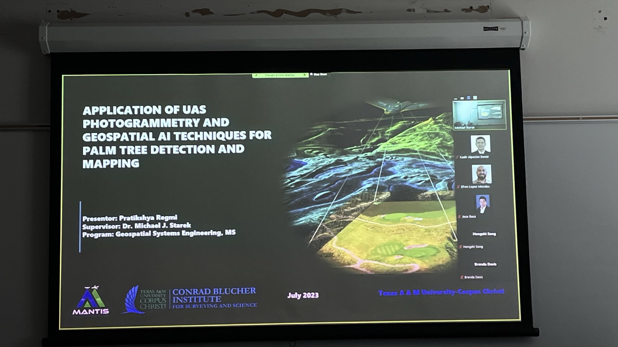
Pratikshya Regmi and Jose Landivar conclude their master journey with two successful thesis defenses of their research over the past couple of years.
Pratikshya’s Abstract:
This research aims to utilize uncrewed aircraft system (UAS) photogrammetry and deep learning techniques to provide effective and user-friendly approaches for detecting palm trees, thereby facilitating monitoring and management initiatives. This study was carried out at Texas A & M University-Corpus Christi (TAMUCC) Ward Island campus. The primary purpose of this study was to utilize high-resolution orthomosaic imagery generated from UAS-based structure-from-motion (SfM) photogrammetry to detect, map, and quantify the number of palm trees on campus. A GIS-based pre-trained model and a customizable model were evaluated. The deep learning model exhibiting the highest performance in terms of precision, recall, and F1-Score was selected as the optimal model. The model obtained through fine-tuning of a pre-trained GIS-based model was identified as the optimal choice, yielding the following values: precision=0.88, recall=0.95, and F1-score=0.91. The chosen optimal model was employed to examine the impact of image ground sampling distance (GSD) on the deep learning model’s classification performance. GSD values were varied by downsampling of the original image GSD to values of 5 cm, 10 cm, 20 cm, and 40 cm, respectively. The findings revealed that the model’s performance deteriorated as the resolution decreased. Furthermore, the optimal model was subjected to an additional test using multi-temporal image datasets acquired from different UAS flights conducted at the same altitude with approximately the same GSD (1.6 cm). Remarkably, the results demonstrated that the model maintained a comparable level of accuracy across all three testing datasets. The obtained results were verified using ground truth values of palm tree counts taken from a portion of the campus study area. This study concludes that fine-tuning a pre-trained deep learning model within a GIS-based framework enabled a relatively high level of classification performance for the task of palm tree detection and mapping using UAS orthomosaic imagery. Although the effectiveness of the model decreased with reduced image GSD, the model was able to maintain relatively consistent performance across different UAS flights with imagery acquired at the same approximate GSD demonstrating it’s potential for generalization.
Jose’s Abstract:
In the rapidly evolving fields of geospatial engineering and precision agriculture, the accuracy and reliability of georeferencing techniques and Uncrewed Aircraft System (UAS) methodologies are crucial for effective decision-making and crop management. This research aims to enhance UAS Structure-from-Motion (SfM) photogrammetry data quality for plant height estimation in support of precision agriculture. The study investigates and compares the accuracy and reliability of three distinct methods used for georeferencing of the UAS imagery, which subsequently enables more accurate SfM 3D reconstruction: Global Navigation Satellite System (GNSS) without any correction aiding (GNSS-only), GNSS+Real-Time Kinematic (RTK), receiving RTK corrections from a local base station, GNSS+Real-Time Network (RTN), receiving RTK corrections from the Texas Department of Transportation (TxDOT) GNSS reference station network. The study further assesses the correlation between manually measured plant heights and those estimated from UAS-SfM point cloud data, exploring three different Digital Terrain Model (DTM) generation techniques. The research was conducted at the Texas A&M AgriLife Research and Extension Center in Corpus Christi, Texas, USA, on corn crops grown during the 2022 and 2023 agricultural seasons. The three DTM generation methods under consideration included 1) using a DTM acquired from a flight conducted before plant emergence, 2) creating a DTM by interpolating ground height points, and 3) implementing automatic classification algorithms. Our findings reveal that the GNSS+RTK solution implemented with a DJI D-RTK 2 mobile station acting as a local base for providing RTK corrections during flight provided the most reliable and accurate outcomes across multiple data collection dates for the UAS platform evaluated. Furthermore, the use of one ground control point (GCP) improved accuracy compared to scenarios with no GCPs used, while GNSS-only without correction aiding reported the least accurate results as expected. Regarding plant height estimation, the highest accuracy was generally achieved with greater canopy cover percentages, with the optimal percentage varying depending on the data collection date and DTM creation method. The highest correlation of 0.92 between manual measurements and UAS-SfM-derived plant heights was found when the DTM was either interpolated from ground height points or obtained from a pre-emergence flight.