Ph.D. Students
Geospatial Computer Science
José Pilartes-congo, MS, SIT, suas, S.M.ASCE
José is a Ph.D. candidate in the Geospatial Computer Science program. He has a bachelor’s in Geographic Information Science (with a minor in Business Administration), and a master’s in Geospatial Systems Engineering from Texas A&M University-Corpus Christi. His current research integrates multi-modal remote sensing and GeoAI techniques for digital twin generation. José is also President of the TAMUCC ASPRS Student Chapter.
Geospatial Computer Science
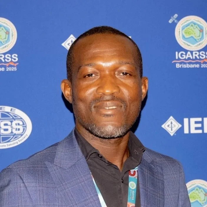
BENJAMIN GHANSAH, MS
Benjamin is a Ph.D. student in the Geospatial Computer Science program. He has experience with survey/geomatics as well as machine/deep learning applications for processing satellite imagery. Benjamin took part in several projects and paper publications pertinent to these topics in recent years. His current research revolves around UAS-SfM Photogrammetry for agricultural applications using survey data acquired at AgriLife.
Geospatial Computer Science
Ololade ESTHER Oladoyin, MS
Esther is a Ph.D. student in the Geospatial Computer Science program. She holds a bachelor’s and master’s degree in electrical engineering. She previously worked as a software engineer in the oil and gas industry, where she specialized in designing firmware for sensor-based wired drill pipes used for collecting data in oil fields. She has also worked in the consumer electronics industry, where she tested the effects of firmware updates on security cameras. Her current research explores remote sensing and GeoAI techniques for geospatial data acquisition to support of coastal resilience efforts. Esther is also Vice-President of the TAMUCC ASPRS Student Chapter.
Computer Science
Mohammad Sohail, MS
Mohammad is a Ph.D. student in the Computer Science program. He holds a master’s degree in Remote Sensing and GIS. He previously worked as a research associate at the Center for Water Informatics and Technology (WIT) LUMS, Pakistan, where he applied InSAR, Optical Remote Sensing, and Geospatial techniques for natural resources and disaster management research studies. His current research focuses on InSAR applications for land subsidence and natural disasters.
Coastal and Marine System Science
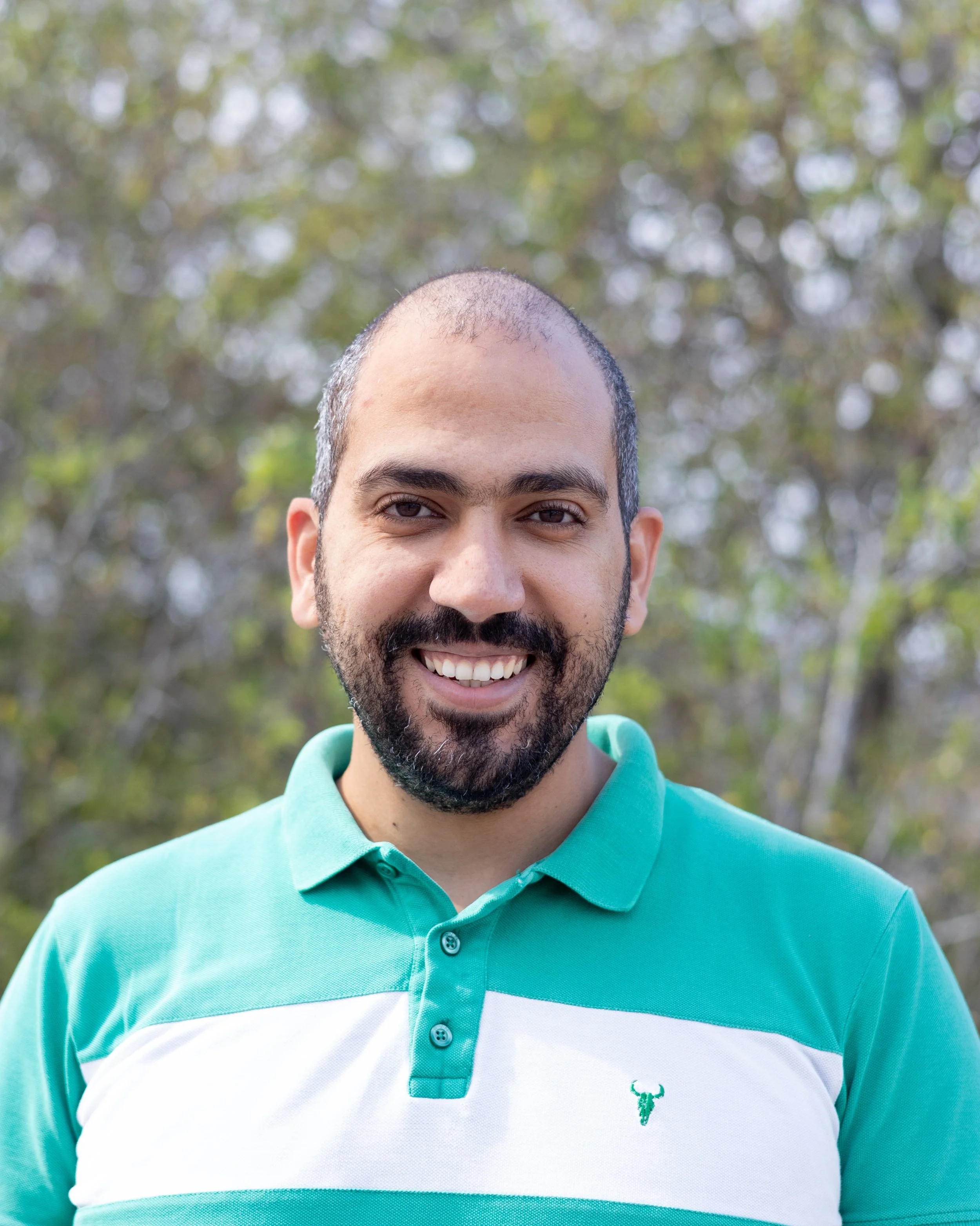
Ahmed Omar, MS
Ahmed is a Ph.D. student in the Coastal and Marine Systems Science program. He holds both a bachelor’s and a master’s degree in Geology from Suez Canal University in Egypt. His master’s research focused on spatial analysis techniques and geological parameters to identify optimal sites for mangrove plantations along the Red Sea. Ahmed is proficient in GIS and Satellite Remote Sensing techniques for environmental and geological applications. His current research leverages Remote Sensing, GIS, and AI to monitor groundwater levels across Texas and develop effective methods for sustainable groundwater management.
Master’s Students
Geospatial Systems Engineering
Vamshi Gindam
Vamshi is a master’s student in the Geospatial Systems Engineering program. He holds a bachelor’s degree in Civil Engineering. He has experience as a data analyst, where he worked with bathymetric data analysis for marine applications. His academic and research interests lie on UASs for surveying and mapping, lidar, and photogrammetry. Vamshi is also the Secretary/Treasurer for the TAMUCC ASPRS Student Chapter.


