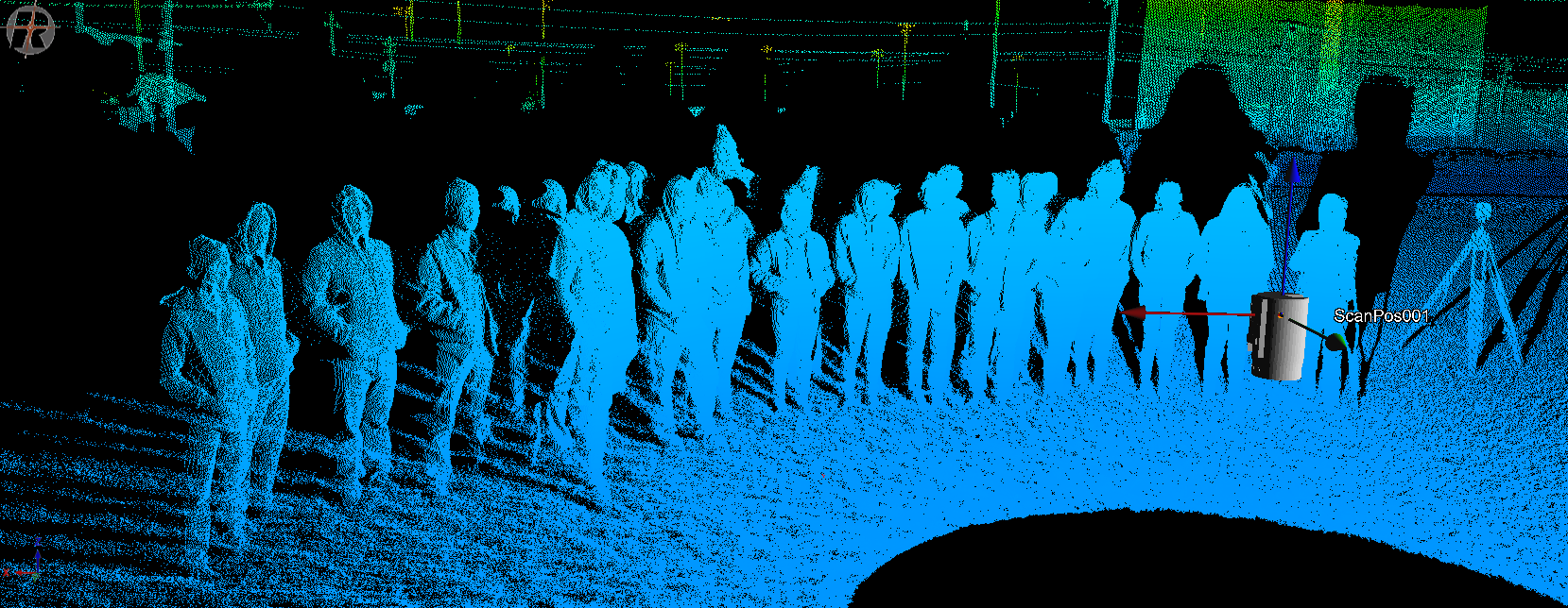
Point cloud of Moody High School students who attended GIS Day.
For those who are not familiar with GIS—we’re surprised and happy you’re here!— GIS is a geographic information system and is designed to capture, store, manipulate, analyze, manage, and present spatial or geographic data. For those who are not familiar with GIS Day, GIS Day provides an international forum for users of geographic information systems (GIS) technology to demonstrate real-world applications that are making a difference in our society.
This year’s GIS took place November 14, 2018 but the first formal GIS Day took place in 1999. Esri president and co-founder Jack Dangermond credits Ralph Nader with being the person who inspired the creation of GIS Day. He considered GIS Day a good initiative for people to learn about geography and the uses of GIS. He wanted GIS Day to be a grassroots effort and open to everyone to participate (http://www.gisday.com/).
On November 14, 2018, Del Mar College hosted its 20th GIS Day. Every year Del Mar College hosts an event at the Center for Economic Development to bring GIS professionals, land surveyors, and high school students under one roof to exchange ideas and share information. One of the most unique and arguably the most important feature of this event is the attendance of high school students to drum-up interest in this fast-growing and ubiquitously important field. MANTIS is happy to be a part of this: MANTIS staff member, Melanie Gingras, and students, Kevin Wilson, Jake Berryhill, Isabel Garcia, and Kelsi Schwind, all volunteered to assist with the latter portion of this event. Kevin Wilson demonstrated the use and application of drone technology in GIS while Jake introduced students to the FLIR sensor. Melanie, Isabel, and Kelsi presented terrestrial LiDAR function to the students in an easy-to-digest real-time scan of the attending students which are depicted in the blog images.
GIS Day point cloud of the Delmar Center for Economic Development locale.


