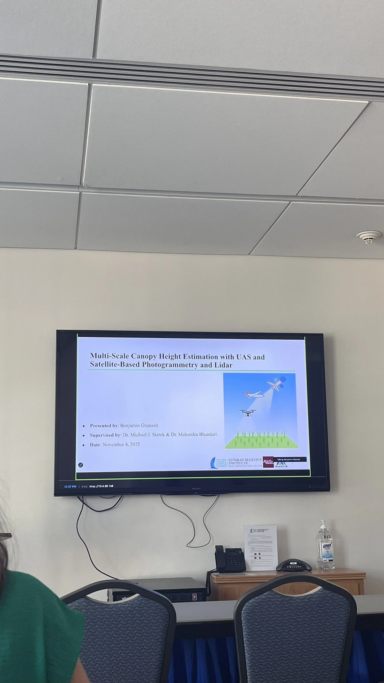
We are proud to announce that Benjamin Ghansah has successfully defended his Ph.D. proposal titled “Multi-Scale Crop Height Estimation with UAS and Satellite-Based Photogrammetry and Lidar.” This marks a pivotal achievement in Benjamin’s doctoral journey and sets the stage for an innovative and impactful body of research in geospatial engineering and precision agriculture. His research tackles one of the central challenges in modern agriculture (accurately and efficiently measuring crop canopy height, a critical variable for assessing biomass, yield, and plant health).
——
His proposal abstract read as follows:
Crop canopy height is an important variable in precision agriculture (PA) due to its direct correlation with biomass, yield, and plant health. Accurate canopy height measurements enable farmers to assess the physiological status of their fields and make informed decisions regarding irrigation, fertilization, and pest management, ultimately optimizing resource use and improving economic returns. However, conventional field-based measurement techniques are labor-intensive, time-consuming, and often infeasible at larger spatial scales. This research addresses these challenges through the development of a tiered, multi-scale remote sensing framework for crop canopy height estimation that integrates two three-dimensional (3D) sensing modalities, lidar and photogrammetry, across three platform types: Uncrewed Aircraft Systems (UAS), SkySat spaceborne imaging, and ICESat-2 spaceborne lidar.
At the field scale, UAS-lidar and UAS-Structure-from-Motion (SfM) photogrammetry using a red-green-blue (RGB) digital camera are used to phenotype energy cane cultivars on an experimental field in Weslaco, Texas. The objective assesses the performance of each sensor modality in estimating height and biomass. At the farm scale, the study develops a stereophotogrammetric workflow optimized for agricultural landscapes using SkySat tri-stereo imagery. A key step in this workflow is the refinement of SkySat's rational polynomial coefficients (RPCs) using high-precision ground control points (GCPs). At the regional scale, the study employs a deep learning model to fuse sparse ICESat-2 canopy height observations with high-resolution SkySat imagery, generating continuous canopy height maps across large agricultural areas. The proposed framework offers scalable solutions for agricultural monitoring, with broad applicability across different crop systems and landscapes. The project also contributes to interdisciplinary capacity in remote sensing, machine learning, and geospatial analytics, advancing skills and knowledge relevant to emerging careers in precision agriculture, environmental monitoring, and climate-smart farming.