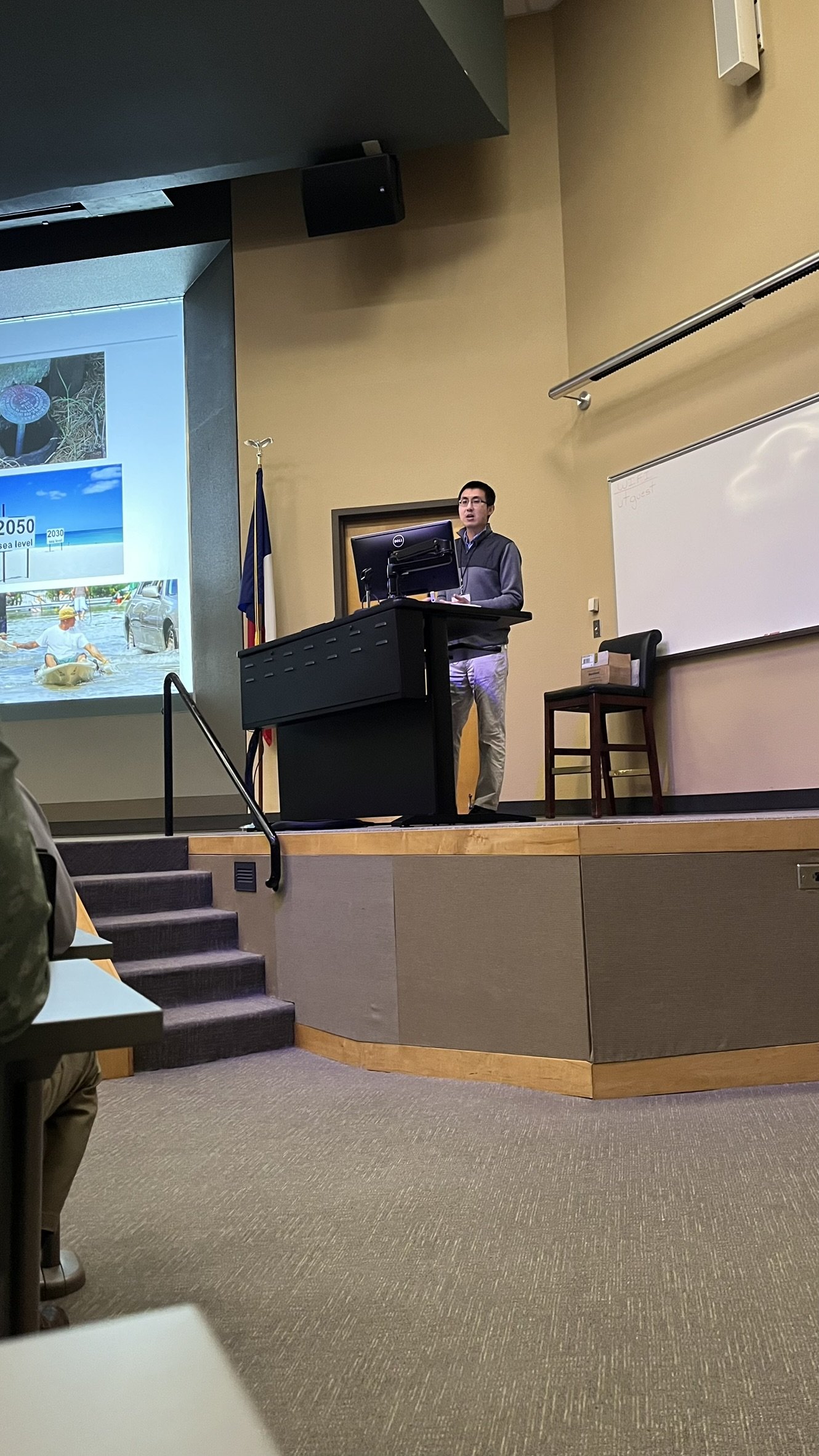
MANTIS faculty and students recently attended the American Society for Photogrammetry and Remote Sensing (ASPRS) Gulf South Conference, held March 13-15 in Austin, Texas. The event provided an opportunity for researchers to share advancements in remote sensing and geomatics, particularly in the areas of UAS-SfM photogrammetry, LiDAR, artificial intelligence, and InSAR applications. The MANTIS team contributed to the discussion with several compelling presentations, each exploring innovative methods to enhance surveying, mapping, and geospatial analysis.
MANTIS director, Dr. Michael J. Starek delved into the role of artificial intelligence and deep learning in UAS photogrammetric workflows. His research highlights how AI-driven automation can significantly enhance data processing, feature extraction, and accuracy assessment in aerial photogrammetry. The ability to integrate deep learning into these workflows paves the way for more efficient and scalable mapping solutions, reducing manual labor while improving the quality of 3D reconstruction. MANTIS associate director, Dr. Tianxing Chu (joined by CBI’s research scientist, Dr. Danielle Smilovksy), provided insights into InSAR technology, emphasizing its applications for infrastructure monitoring, land subsidence detection, and disaster response. Their presentation addressed the current capabilities of InSAR and how emerging advancements in satellite-based remote sensing will further improve the technology’s ability to monitor surface deformation with high accuracy.
Graduate students Benjamin Gansah, Jose Pilartes-Congo, and Sabin Pandey also presented their research. Benjamin introduced his research on the integration of remote sensing and machine learning for agricultural monitoring. His work leverages advanced image processing and classification techniques to assess crop health and yield predictions. By combining remote sensing data with machine learning models, his study provides a pathway for smarter, data-driven agricultural decision-making, addressing challenges such as food security and resource optimization. Jose presented a study comparing UAS-SfM photogrammetry and UAS-LiDAR for material volume estimation. His research aimed to determine which method offers greater accuracy and efficiency in measuring material volumes. By evaluating the strengths and limitations of both techniques, his findings contribute to the ongoing optimization of remote sensing workflows. Finally, Sabin discussed his research on the accuracy of Apple lidar scanning patterns using the SfM/MVS photogrammetry techniques. His research focused on assessing how well Apple’s mobile lidar systems perform compared to traditional UAS-SfM photogrammetry approaches. He also explored the potential for data fusion between Apple lidar and UAS imagery, which could open new possibilities for cost-effective, high-resolution 3D mapping applications.
The MANTIS research group continues to push the boundaries of geospatial science, developing methodologies that improve the accuracy, efficiency, and scalability of remote sensing applications. Their work at the ASPRS Gulf South Conference reflects their ongoing commitment to advancing the field and contributing to real-world solutions in surveying, mapping, and environmental monitoring. As remote sensing technology evolves, the MANTIS team remains at the forefront, driving innovation for both academic research and industry applications.


