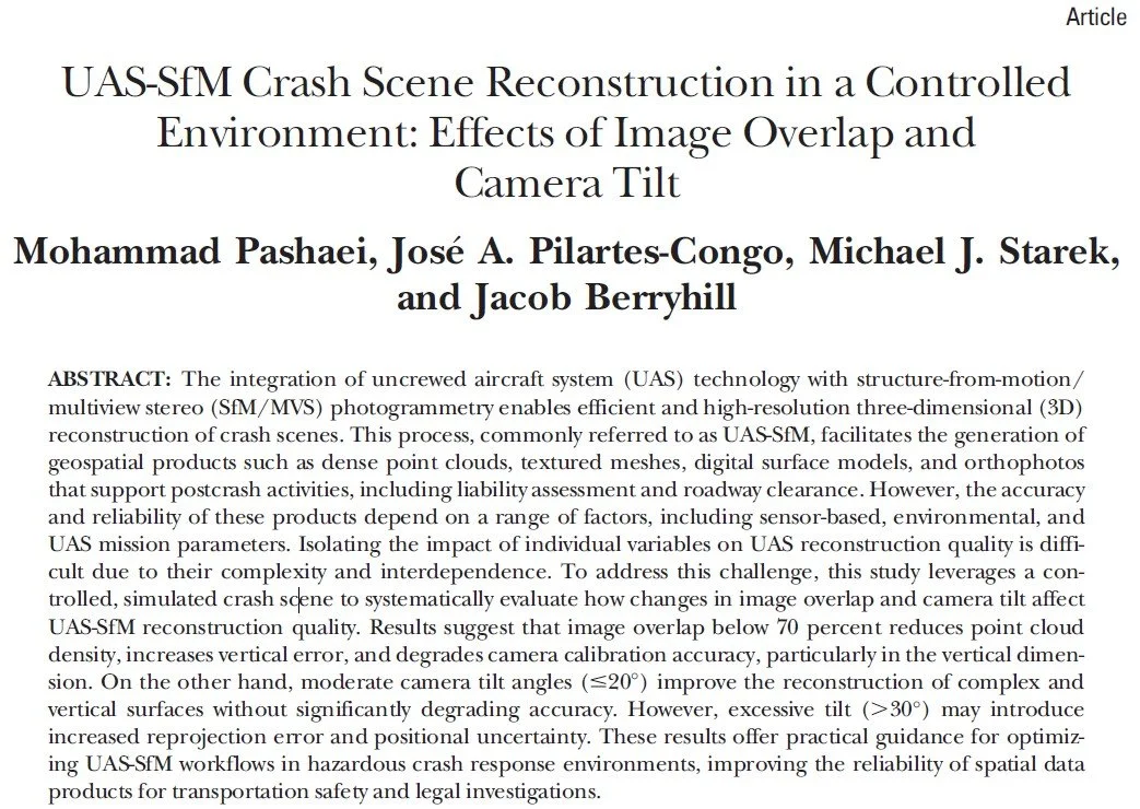
Former MANTIS Ph.D. student and post-doctoral researcher recently published an article in the Journal of Surveying and Land Information Science (SALIS) titled “UAS-SfM Crash Scene Reconstruction in a Controlled Environment: Effects of Image Overlap and Camera Tilt.” The paper explores how key photographic flight parameters, specifically image overlap and camera tilt, affect the quality of 3D reconstructions of crash scenes using UAS-SfM workflows. The work was conducted in a controlled environment to simulate crash-scene conditions while allowing systematic variation of parameters.
——
The abstract reads as follows:
The integration of uncrewed aircraft system (UAS) technology with structure-from-motion / multi-view stereo (SfM/MVS) photogrammetry enables efficient and high-resolution three-dimensional (3D) reconstruction of crash scenes. This process, commonly referred to as UAS-SfM, facilitates the generation of geospatial products such as dense point clouds, textured meshes, digital surface models, and orthophotos that support post-crash activities, including liability assessment and roadway clearance. However, the accuracy and reliability of these products depend on a range of factors, including sensor-based, environmental, and UAS mission parameters. Isolating the impact of individual variables on UAS reconstruction quality is difficult due to their complexity and interdependence. To address this challenge, this study leverages a controlled, simulated crash scene to systematically evaluate how changes in image overlap and camera tilt affect UAS-SfM reconstruction quality. Results suggest that image overlap below 70 percent reduces point cloud density, increases vertical error, and degrades camera calibration accuracy, particularly in the vertical dimension. On the other hand, moderate camera tilt angles (≤20°) improve the reconstruction of complex and vertical surfaces without significantly degrading accuracy. However, excessive tilt (>30°) may introduce increased reprojection error and positional uncertainty. These results offer practical guidance for optimizing UAS-SfM workflows in hazardous crash response environments, improving the reliability of spatial data products for transportation safety and legal investigations.

