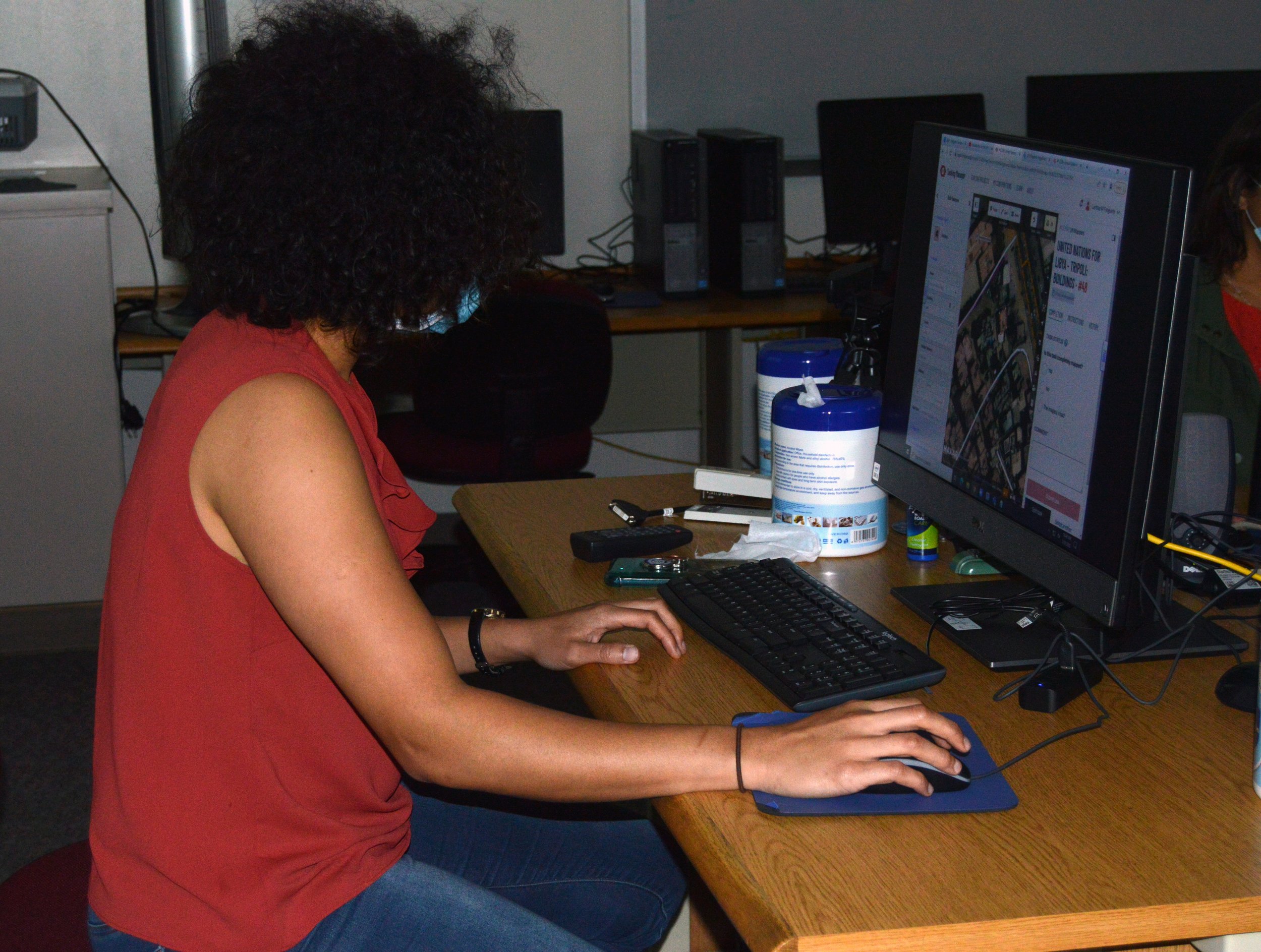
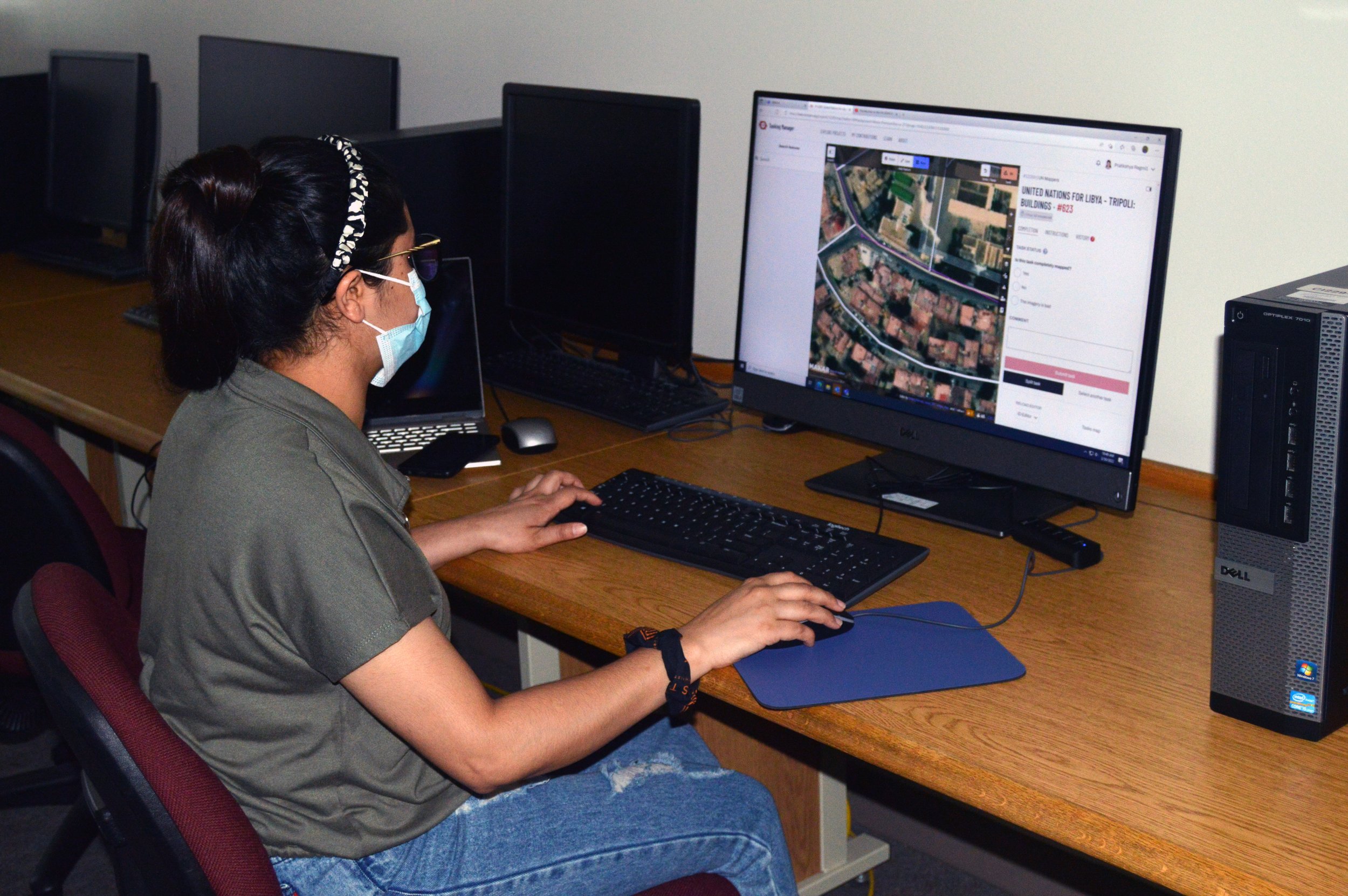
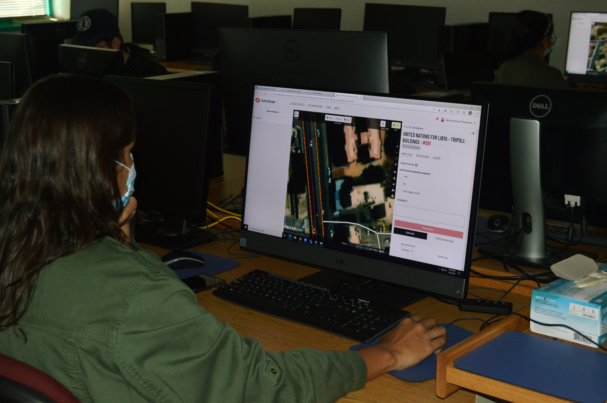
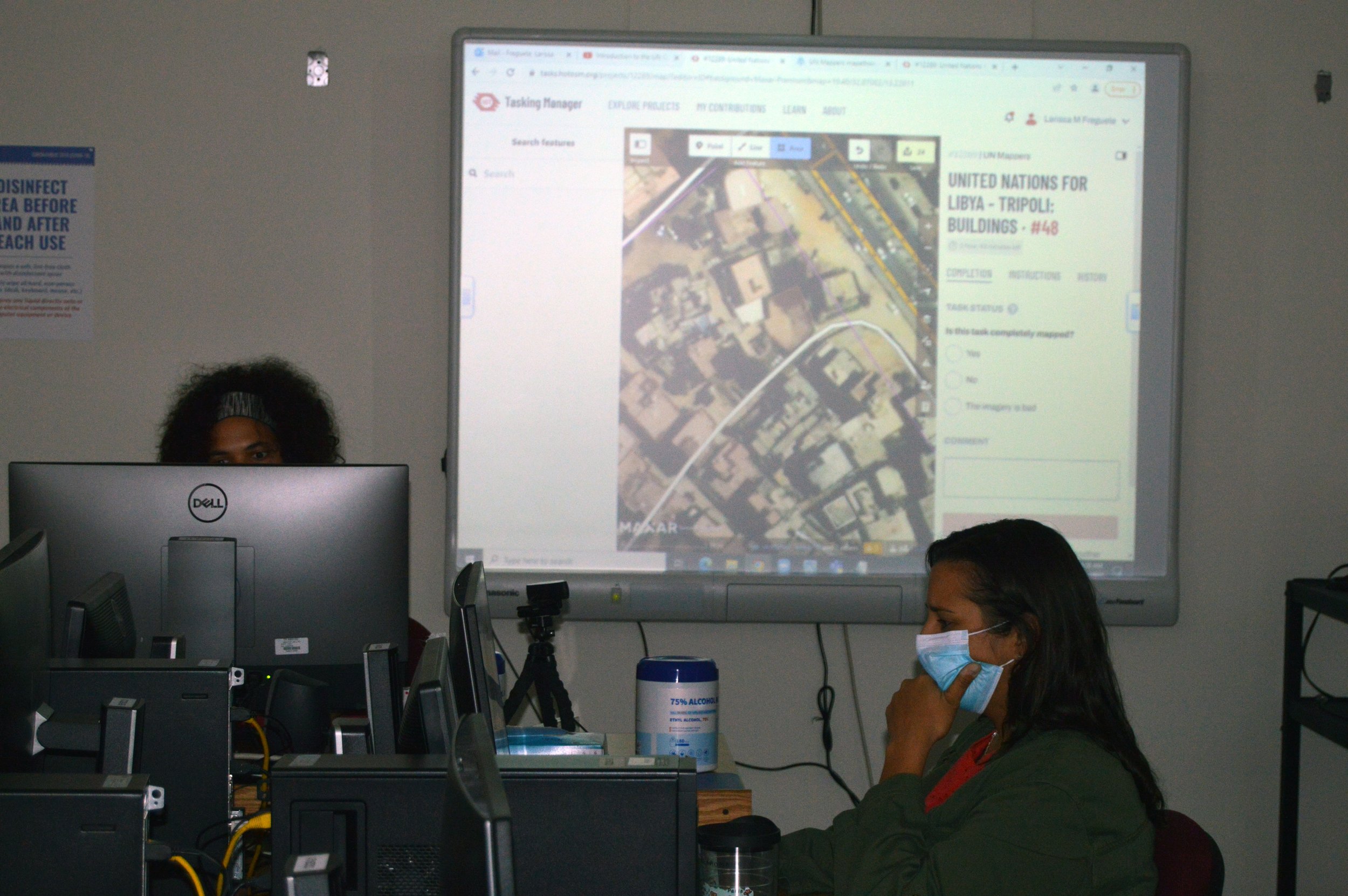
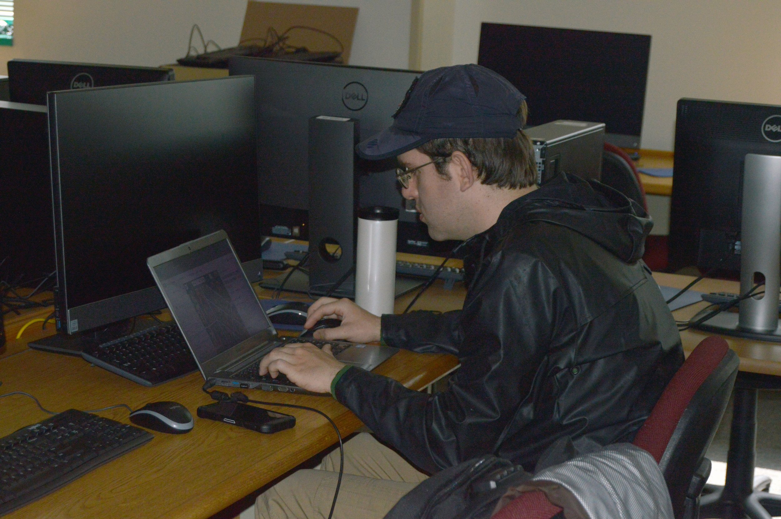
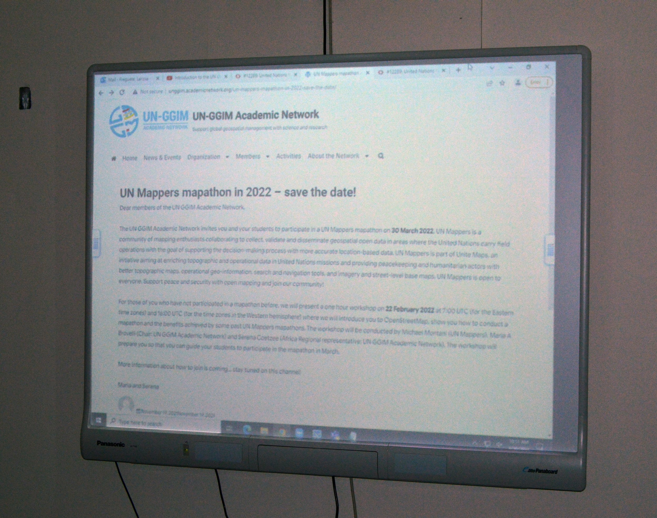
On this past Wednesday, March 30th, TAMUCC students participated for the first time in the UN Mapper Mapathon event organized by the UN GGIM Academic Network. Mapathon is a once-in-a-year event where people all around the world get connected to voluntarily help mapping areas covered by UN missions to provide trustworthy information to the peacekeeping and humanitarian actors.
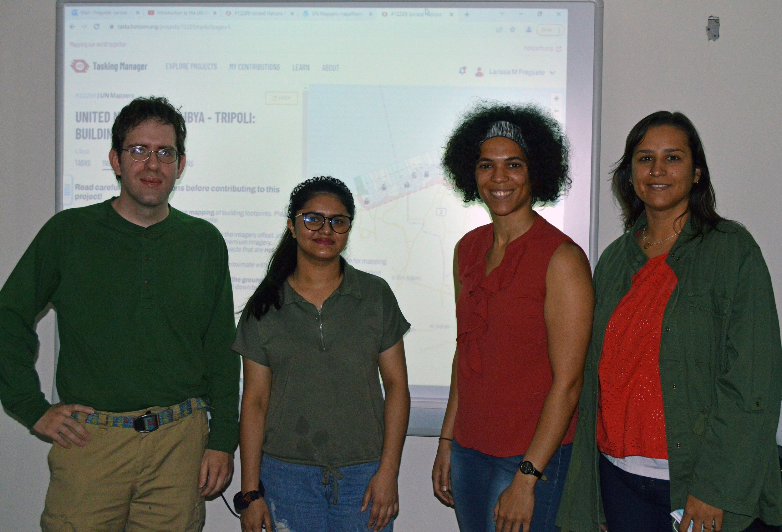
This year, the mapping project was focused on the African country Lybia. The participants were given the UNITED NATIONS FOR LYBIA-TRIPOLI project to work on, in which they had to map building footprints to support peacekeeping in the country. The information provided by the mappers will be used by peacekeepers in the region to assess inaccessible locations on the ground and perform operational planning.
According to the students’ feedback, participating in this event was a great experience because - besides the humanitarian purpose of the project - the used platform is very user-friendly and it does not require previous knowledge in the GIS field to be able to contribute, which offered a non-taxing experience to the users. The Mapathon session held in TAMUCC was attended by students from different programs (CMSS Ph.D., GSCS Ph.D., and GSEN MS) and MANTIS could not be left out of it: the lab participation was represented by the students Jose Congo, Pratikshya Regmi, and Larissa Marques Freguete as session mentor.
Fun fact: More than 13.000 buildings were mapped in this event!

