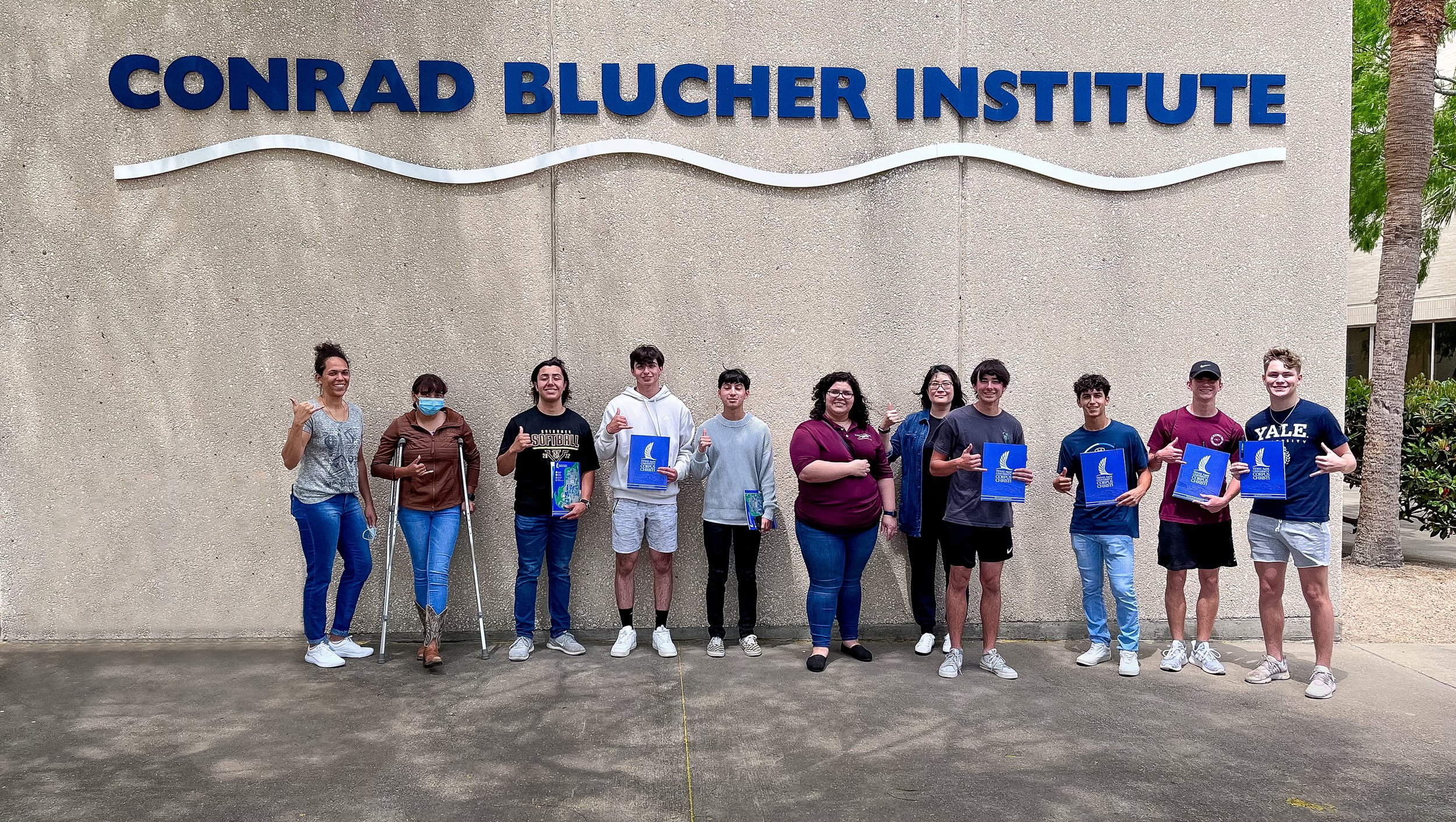
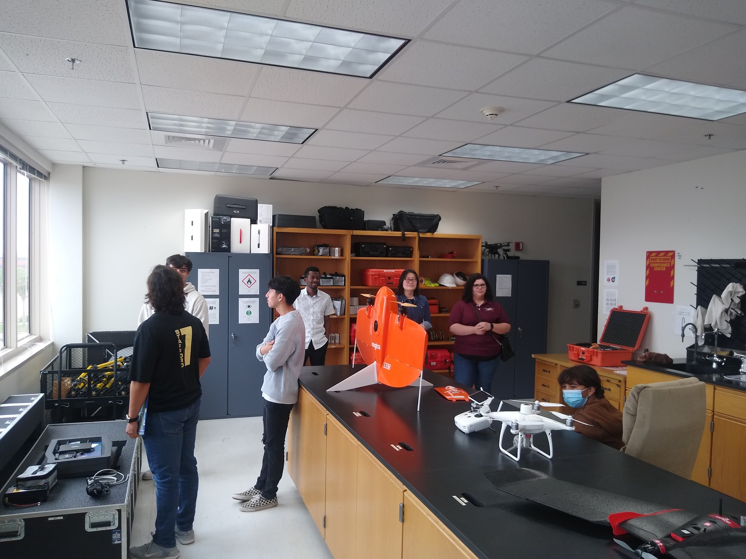
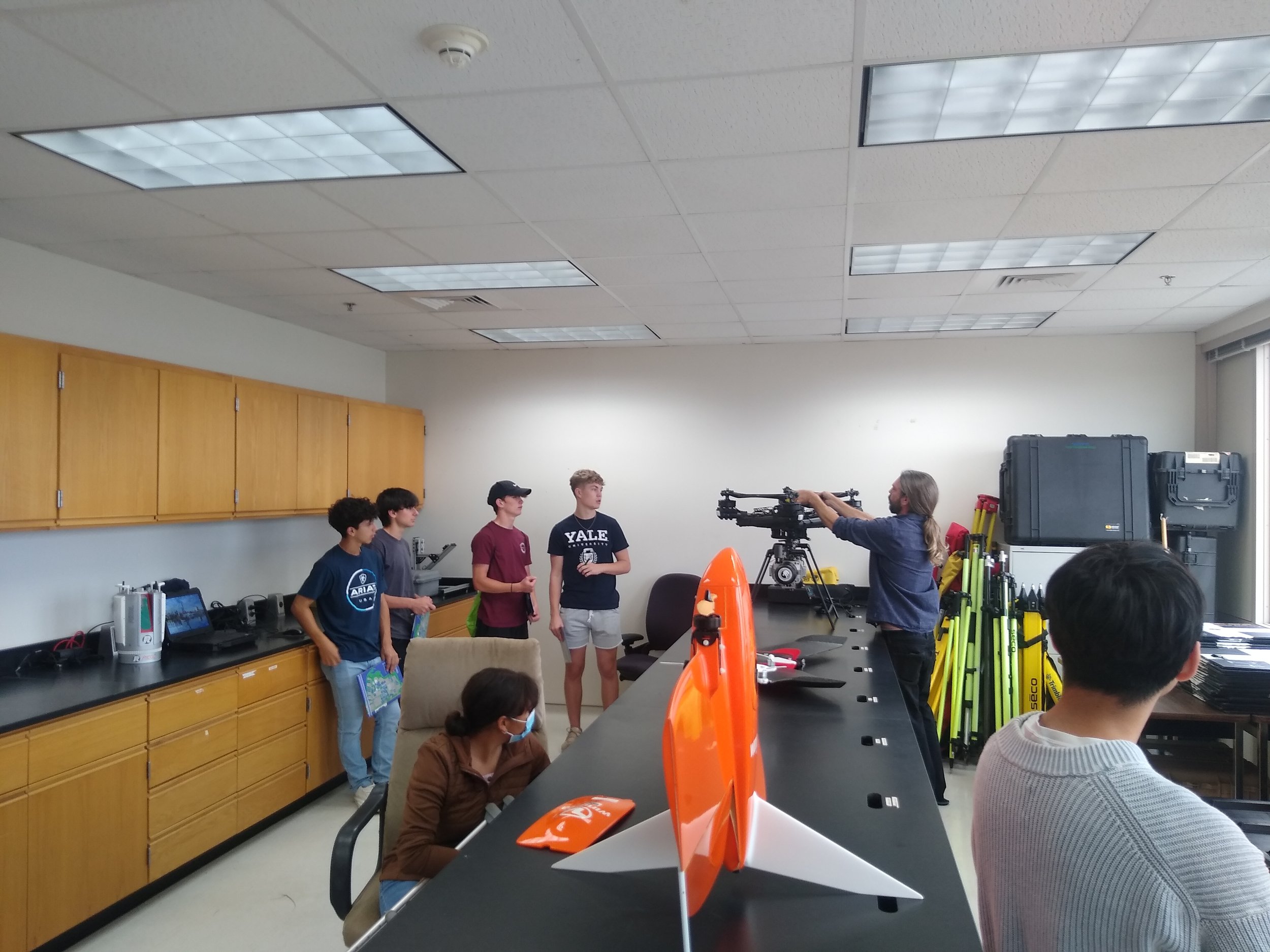
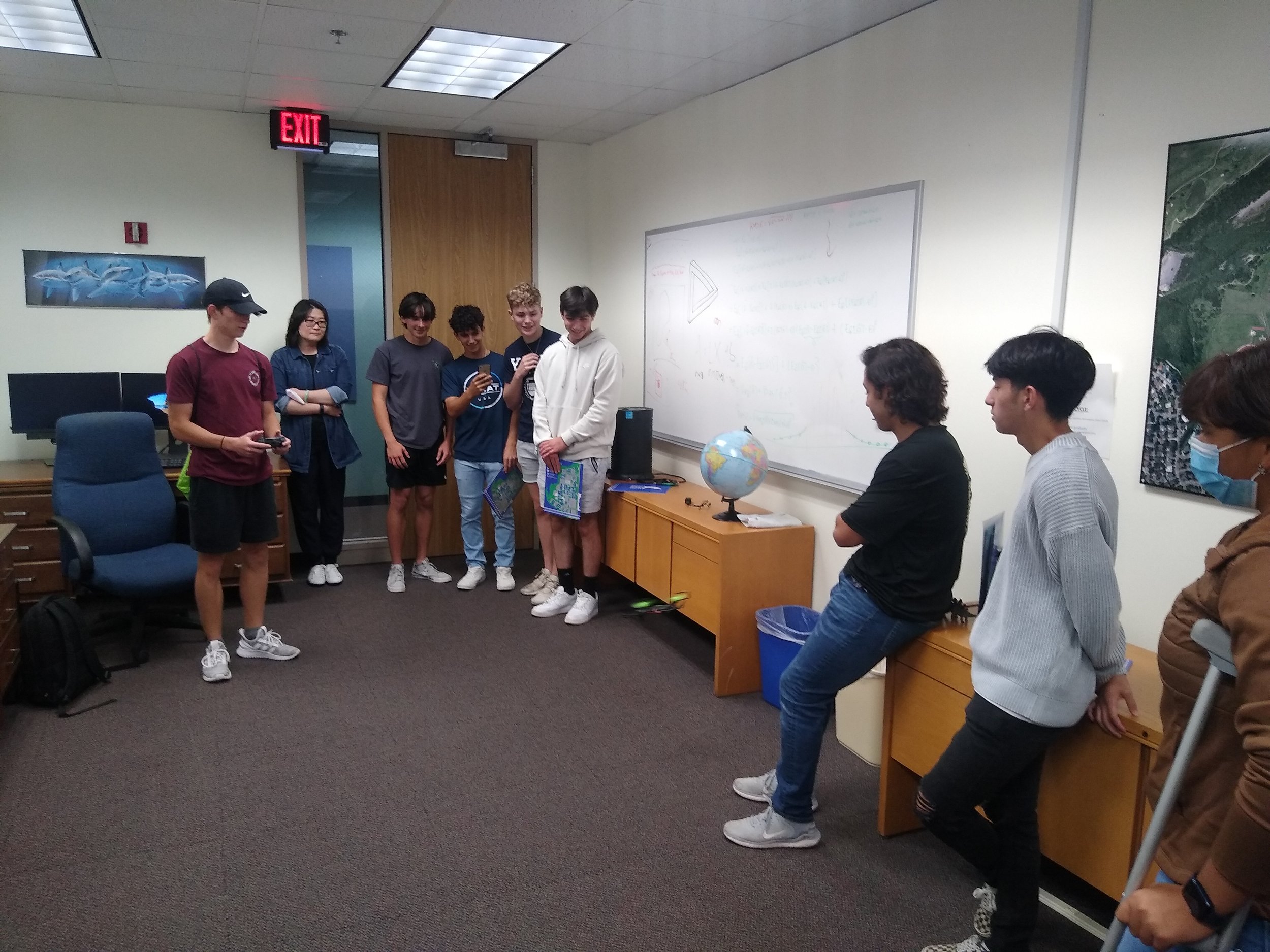
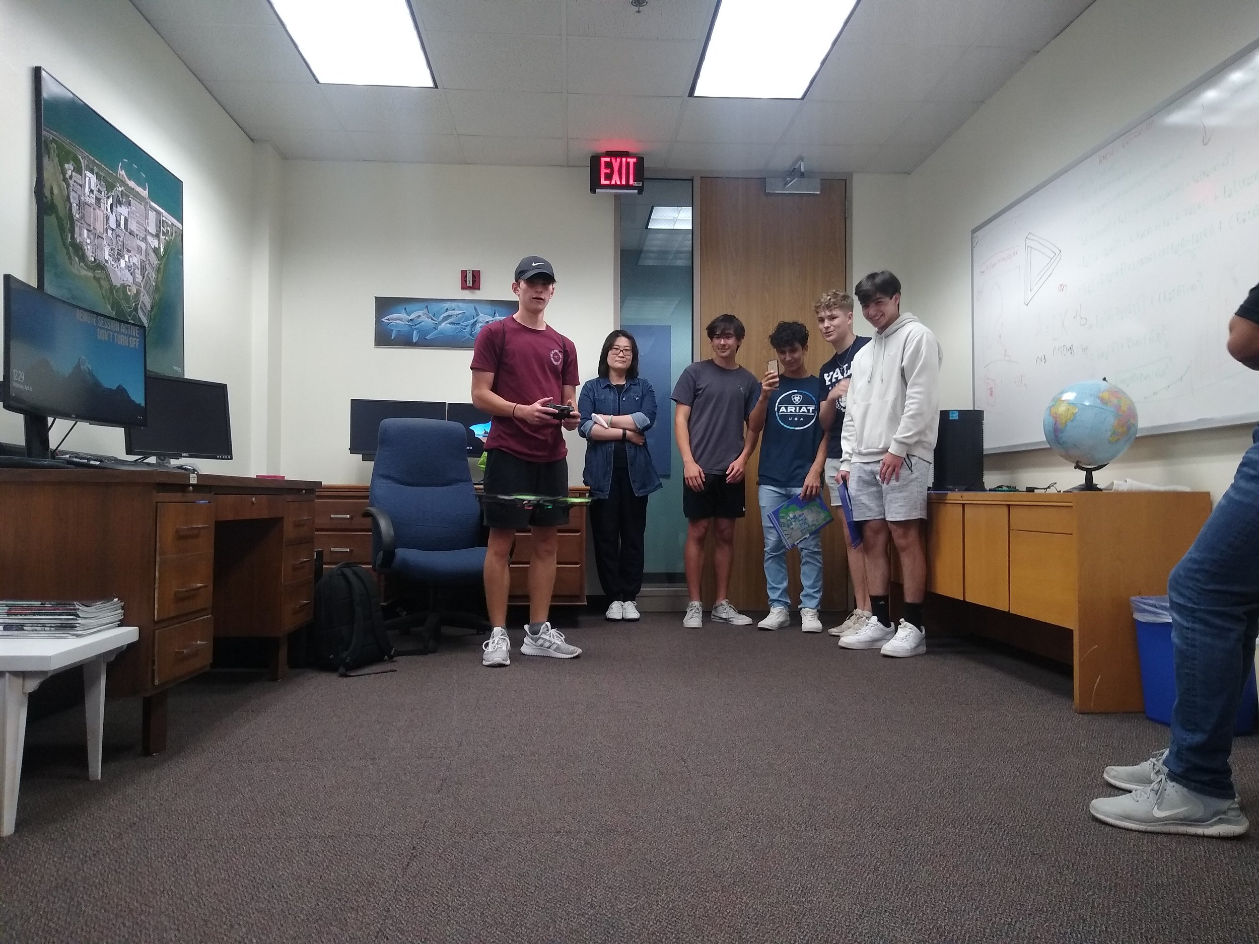
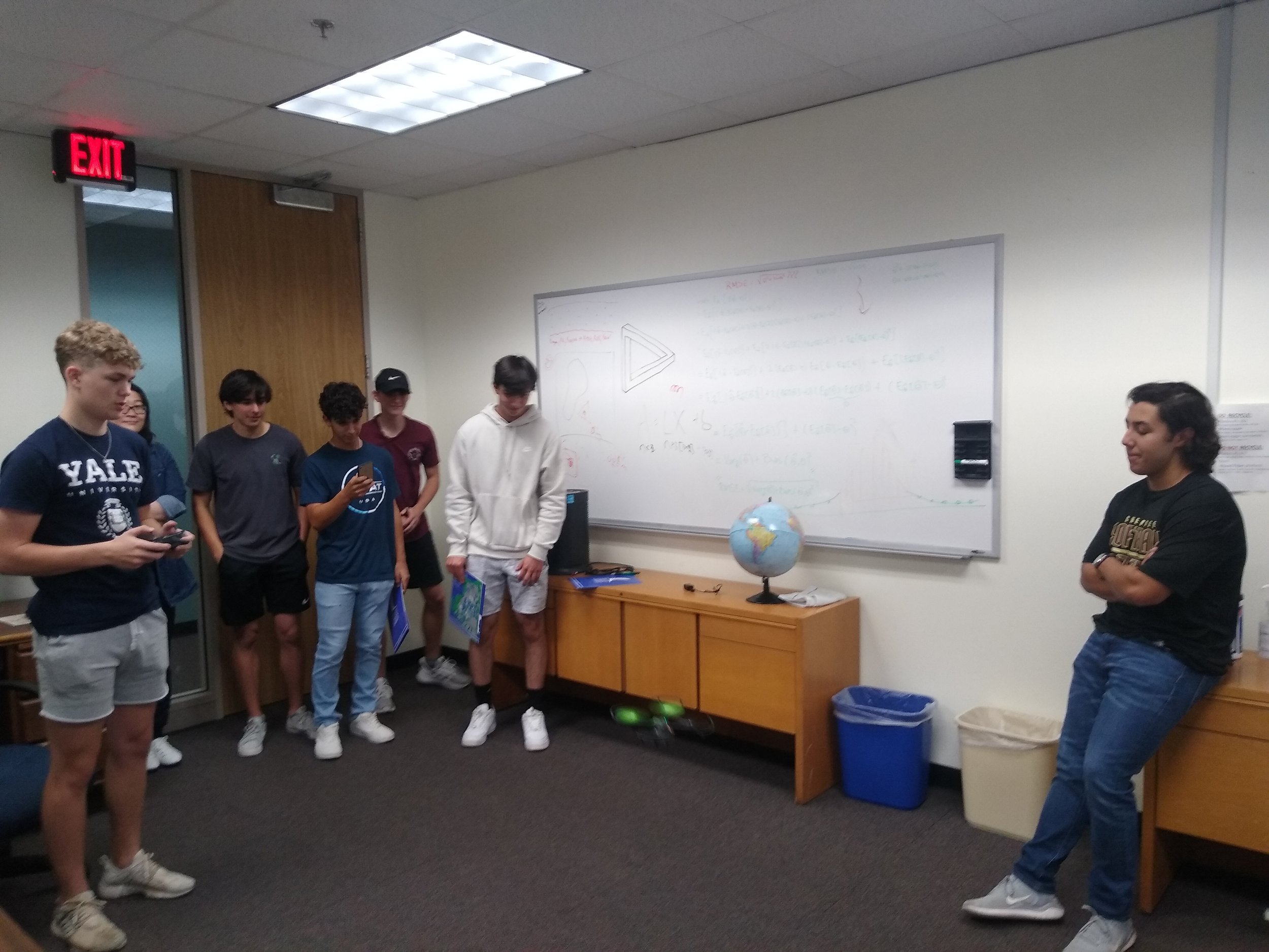
Last Wednesday, April 13th, MANTIS had the pleasure of being visited by the high school students from Tuloso Midway Independent School District (TMISD). The students are the beneficiaries of the TMISD regional CTE program of study focused on Geospatial Engineering and Land Surveying which has the purpose of preparing high school students for their academic development and providing the necessary skills required by the job market in this field.
As a way of showing the students the possibilities for their academic and professional development, they were offered a visit to the TAMUCC campus where they were introduced to the GISC program by Dr. Hongzhi Song, land surveying techniques by Dr. Davey Edwards, and the work developed by the MANTIS Lab.
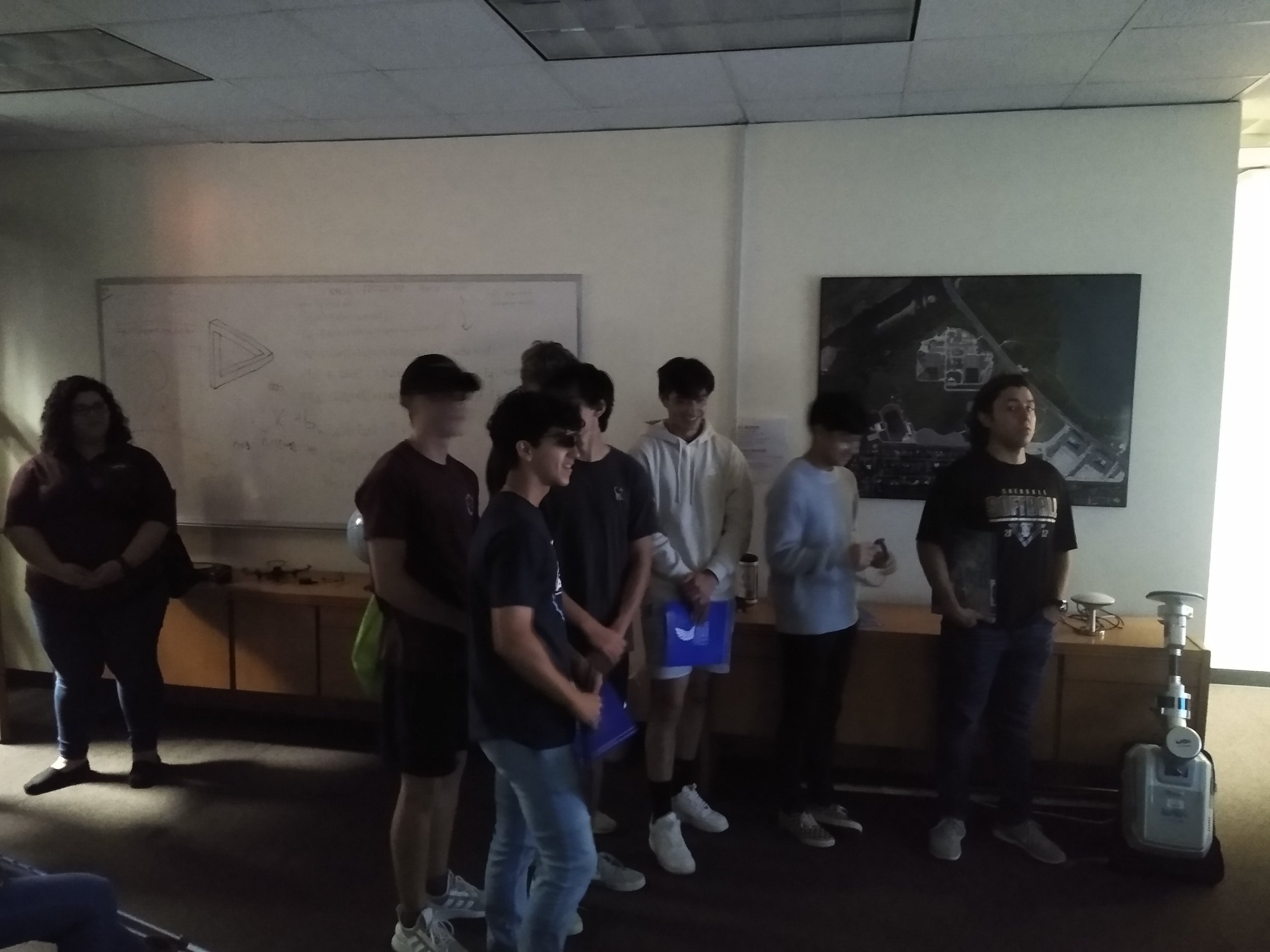
For the MANTIS Lab tour, the students were first taken to MANTIS’ main premise where they were shown the variety of products generated by 3D mapping with lidar scanning and UAS-based imagery. They were also introduced to backpack lidar and to the concepts of 3D mapping, SfM photogrammetry, point clouds, etc. The sign of excitement was very visible on the student’s faces when they experienced 3D visualization of point clouds derived from different platforms.
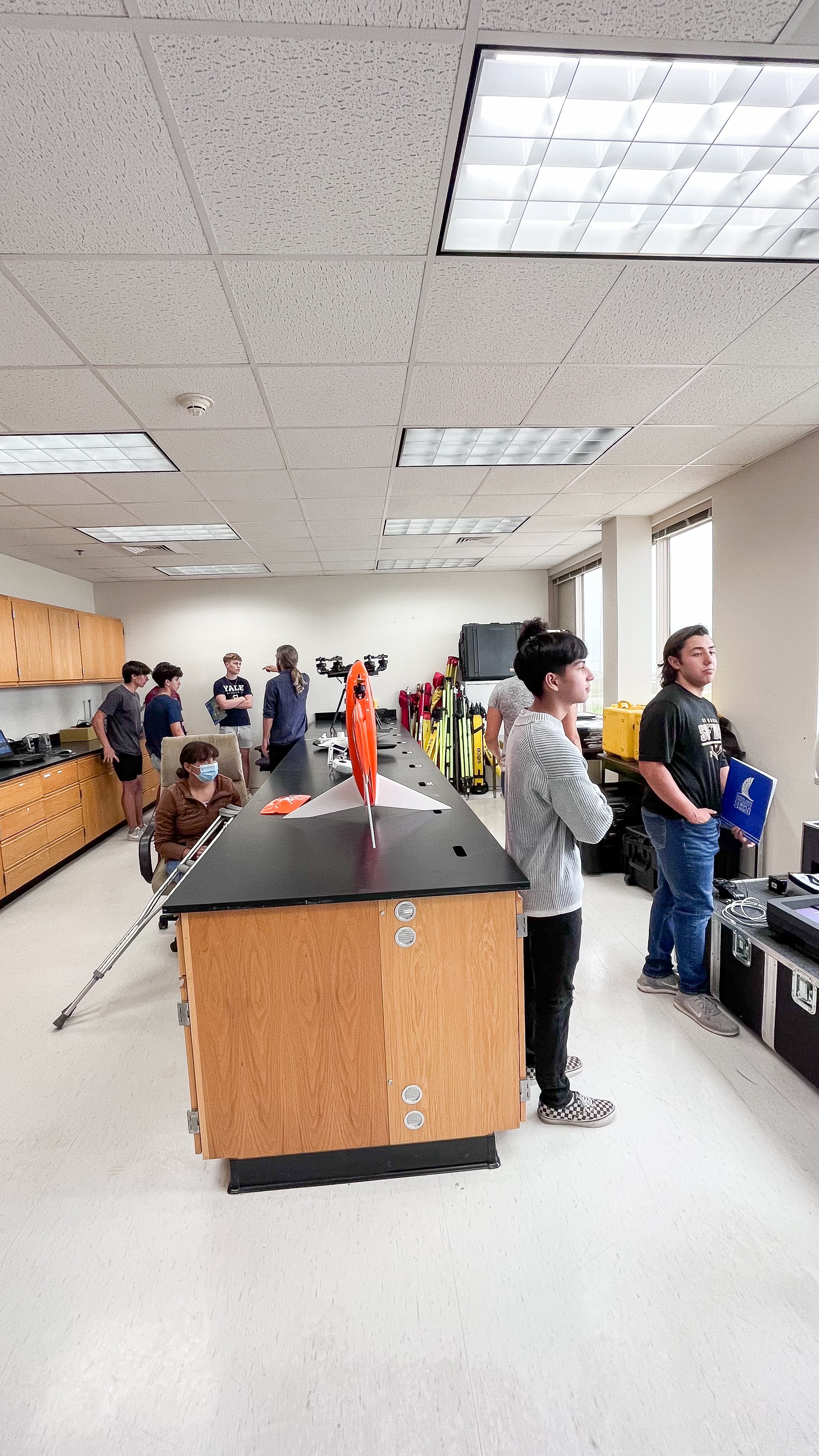
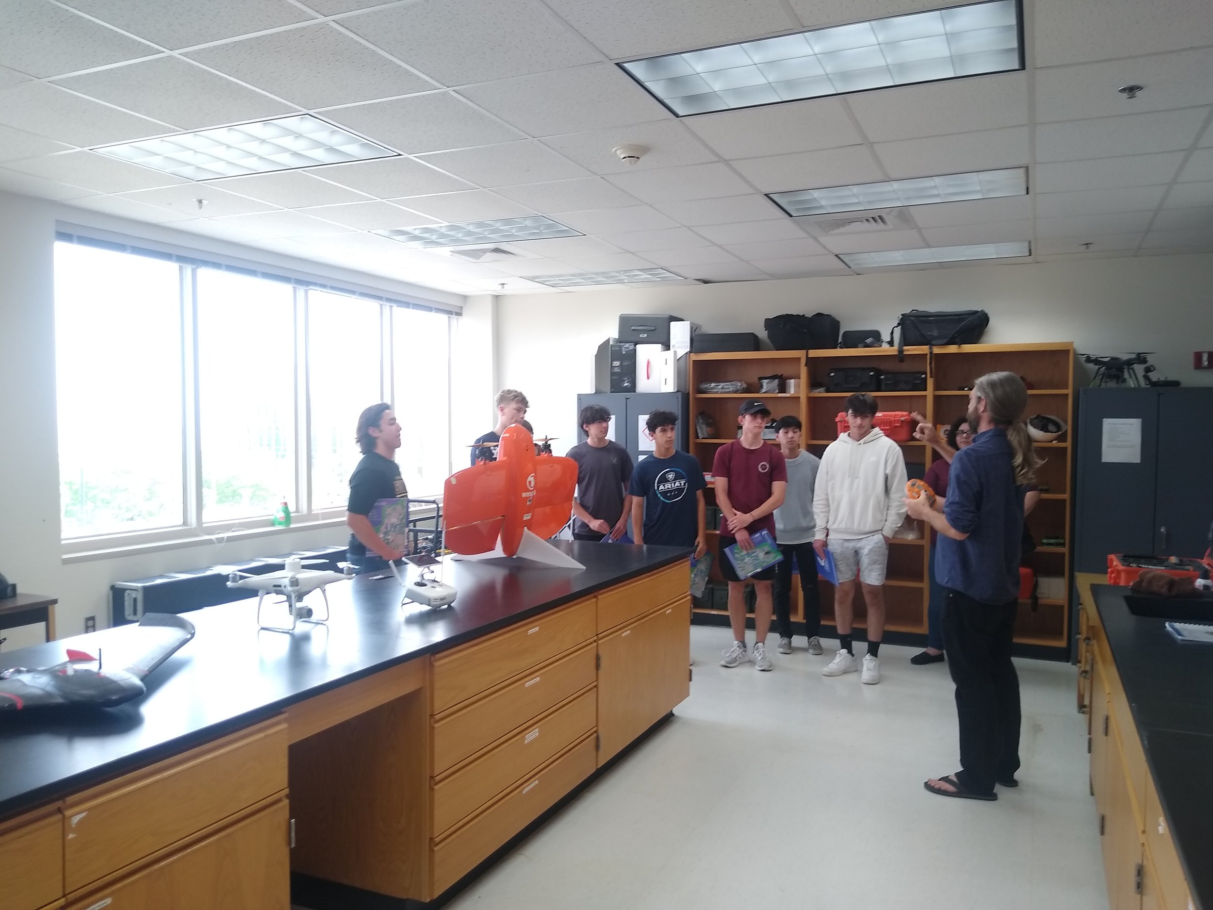
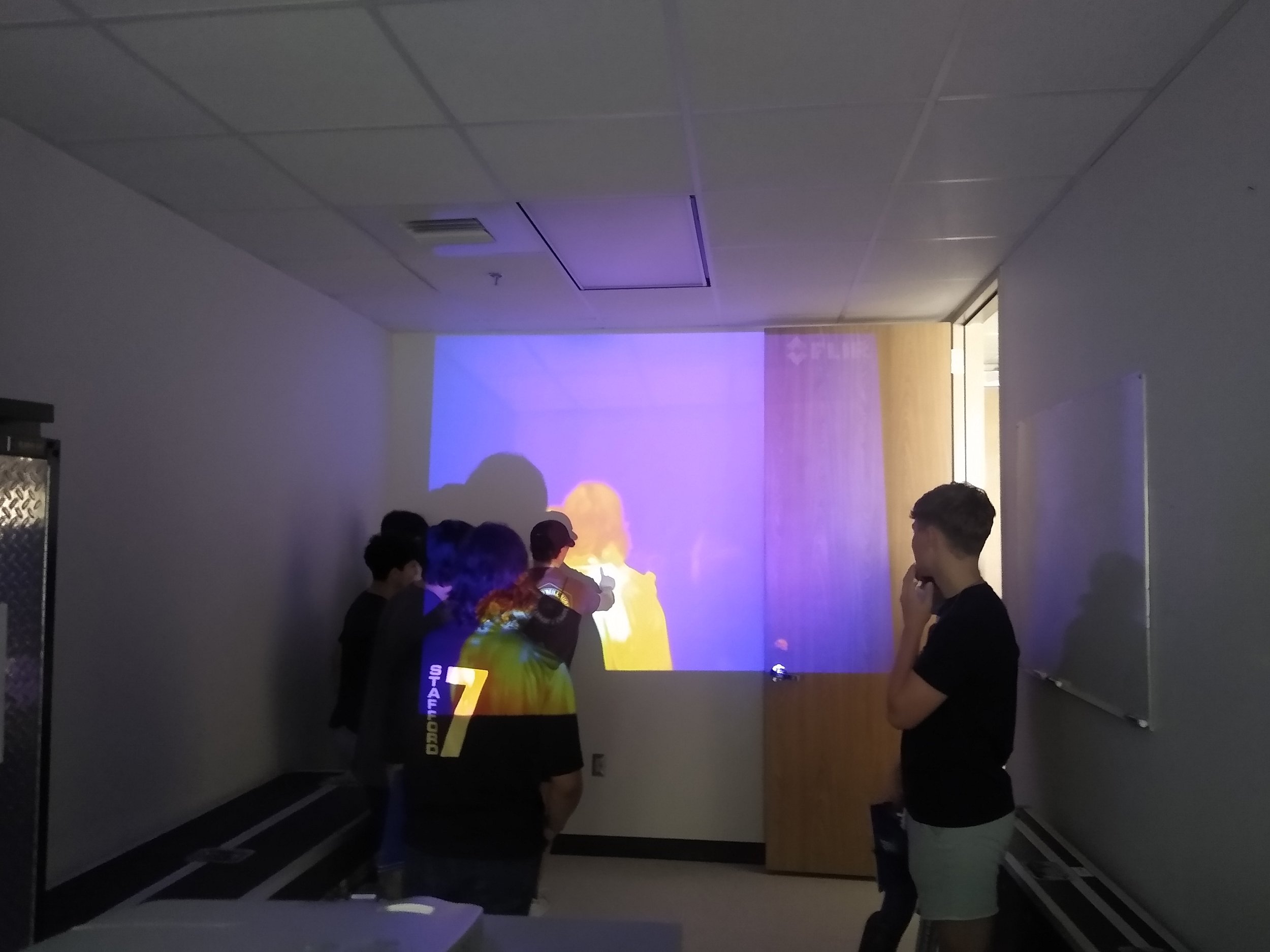
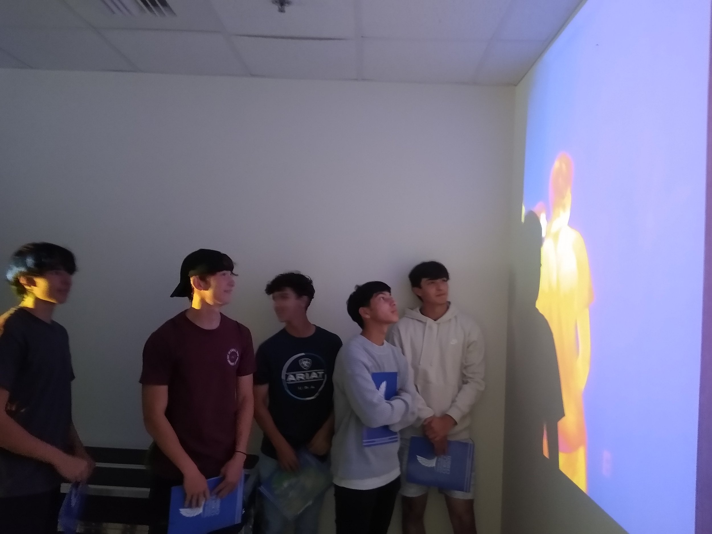
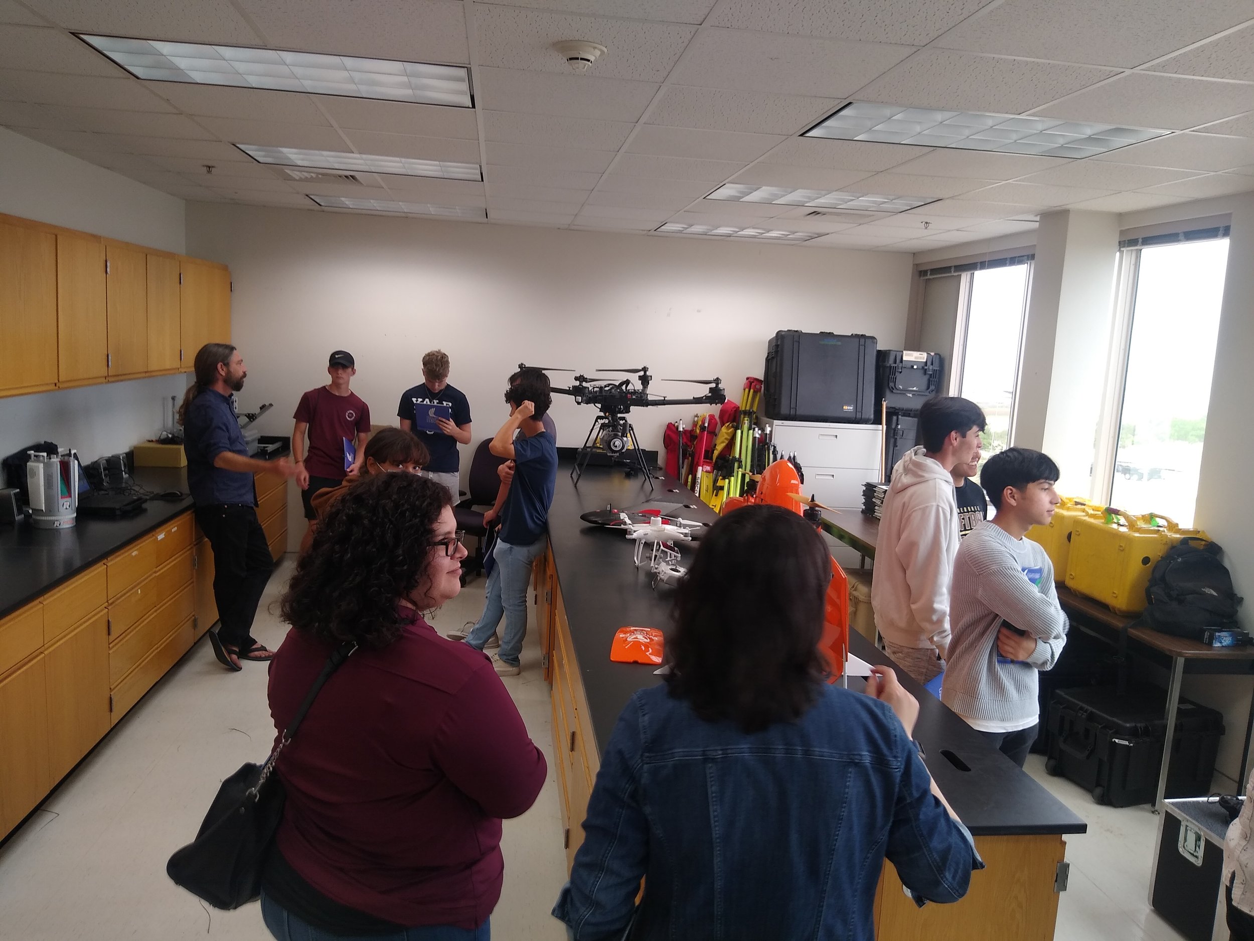
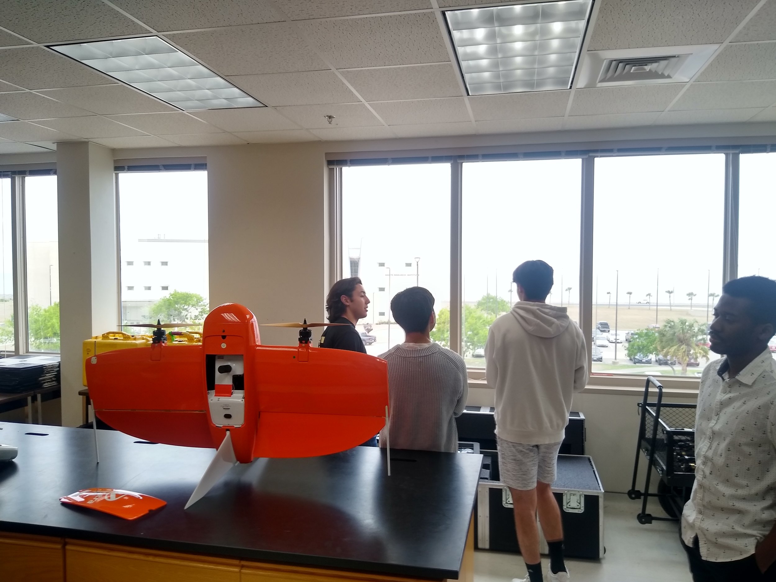
The second part of the tour was a showcase of the equipment used for the research projects within the group: thermal cameras, TLS, surveying equipment, and different types and models of UAS platforms. In this part of the tour, they were presented they were introduced to the equipment and their applications and were encouraged to “play” with the thermal camera and to explore (with the proper safety measurements) the displayed surveying platforms.
The tour was topped off with the students having the hands-on experience of flying an indoor safe toy drone model.
Our wish is to see more and more young fellows entering the geospatial field, doing great deeds, and being well accomplished.

