MANTIS students showcased a diverse range of research at the 2026 ASPRS Gulf South Region Geospatial Conference in Thibodaux, Louisiana, highlighting ongoing work in remote sensing, photogrammetry, and geospatial analytics. In this year’s edition, one MANTIS master’s student (Vamshi Gindam) and three PhD MANTIS students (José Pilartes-Congo, O. Esther Oladoyin, and Mohammad Sohail) participated.
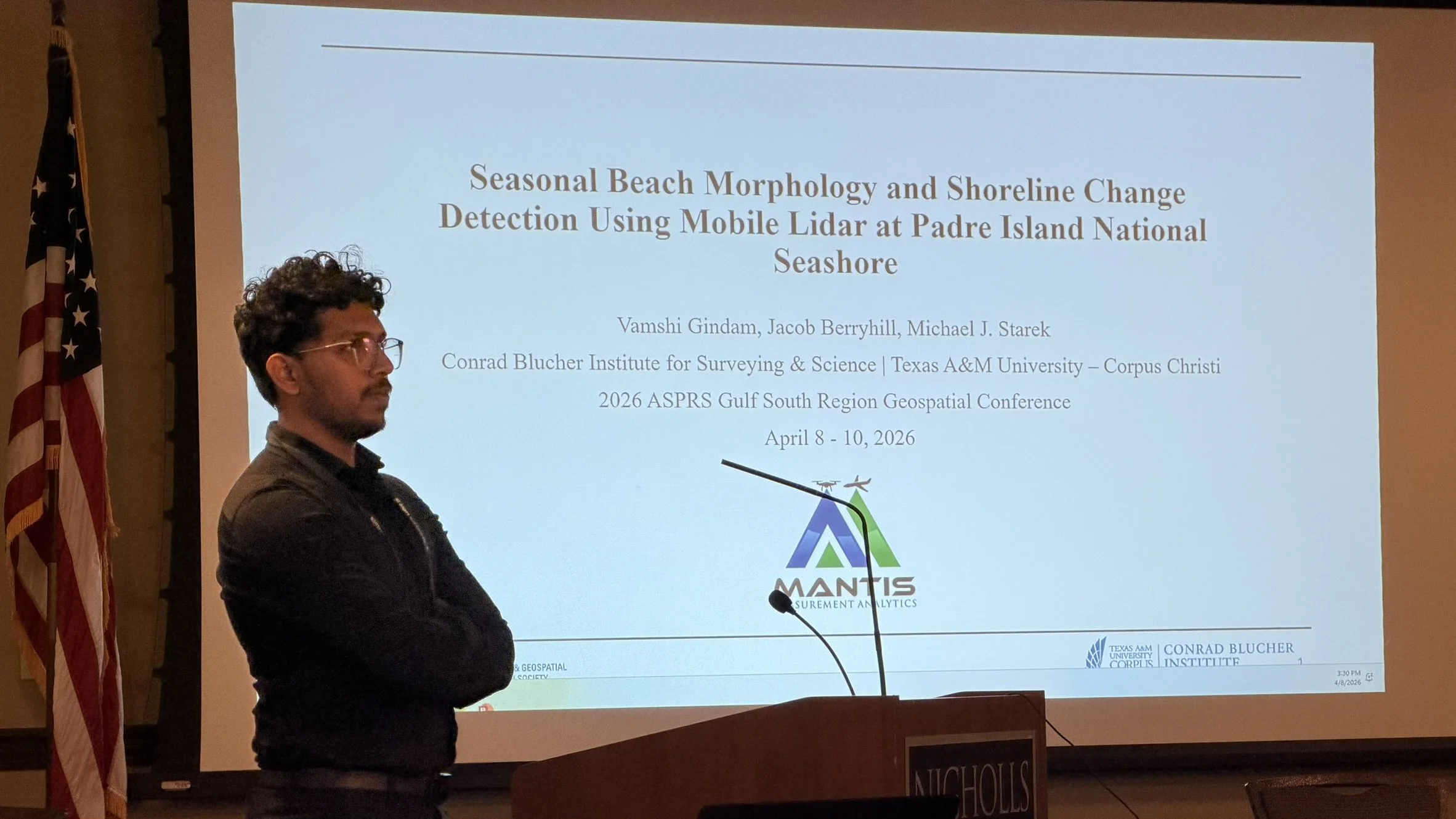
Vamshi presented his work titled “Seasonal Beach Morphology and Shoreline Change Detection Using Mobile LiDAR at Padre Island National Seashore,” focusing on coastal monitoring and geomorphological change.
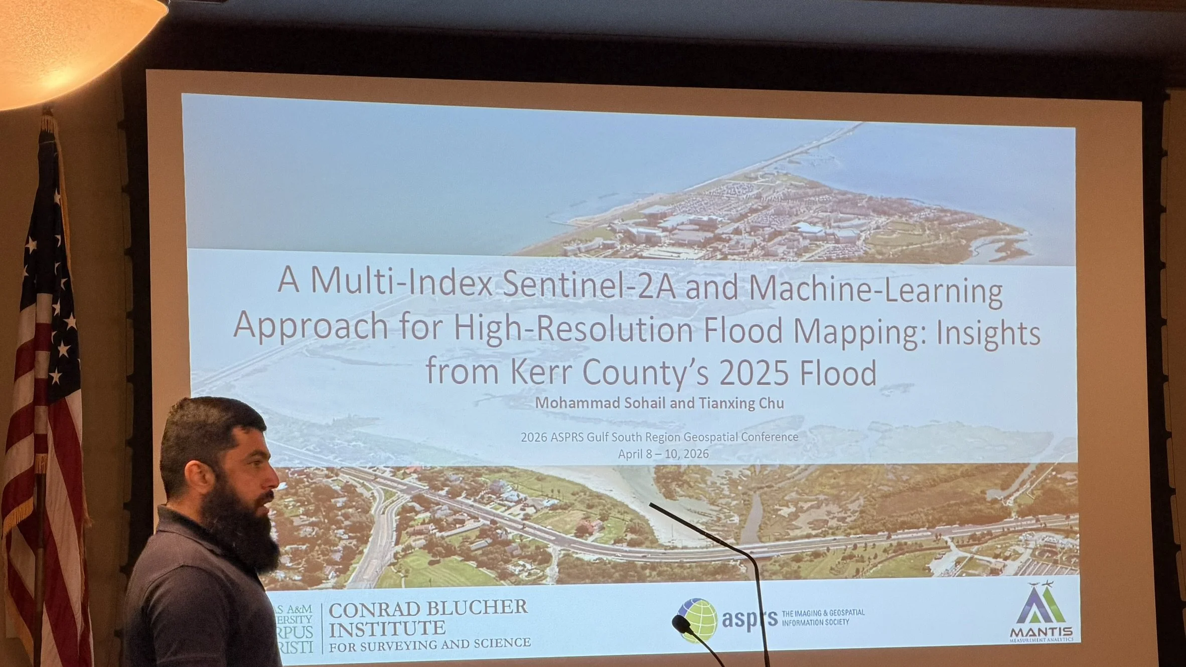
Mohammad presented “A Multi-Index Sentinel-2A and Machine-Learning Approach for High-Resolution Flood Mapping: Insights from Kerr County’s 2025 Floods,” demonstrating how satellite data and machine learning can support flood mapping and disaster response.
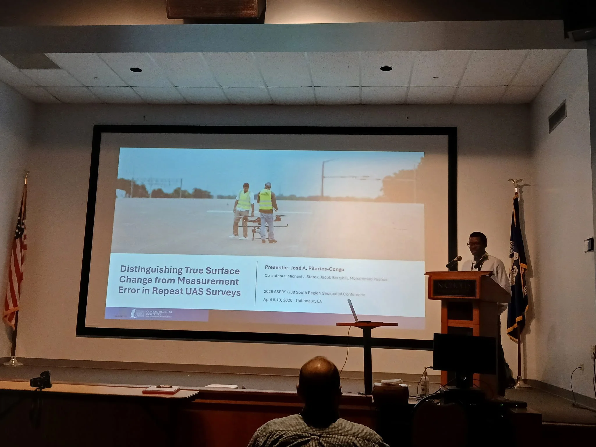
José presented his work titled “Distinguishing True Surface Change from Measurement Error in Repeat UAS Surveys,” exploring the challenge of separating real surface change from measurement noise in repeat UAS surveys. He also presented on behalf of Benjamin Ghansah, “Estimating Canopy Height of Crops Using SkySat Stereopair Images and Stereophotogrammetry.”
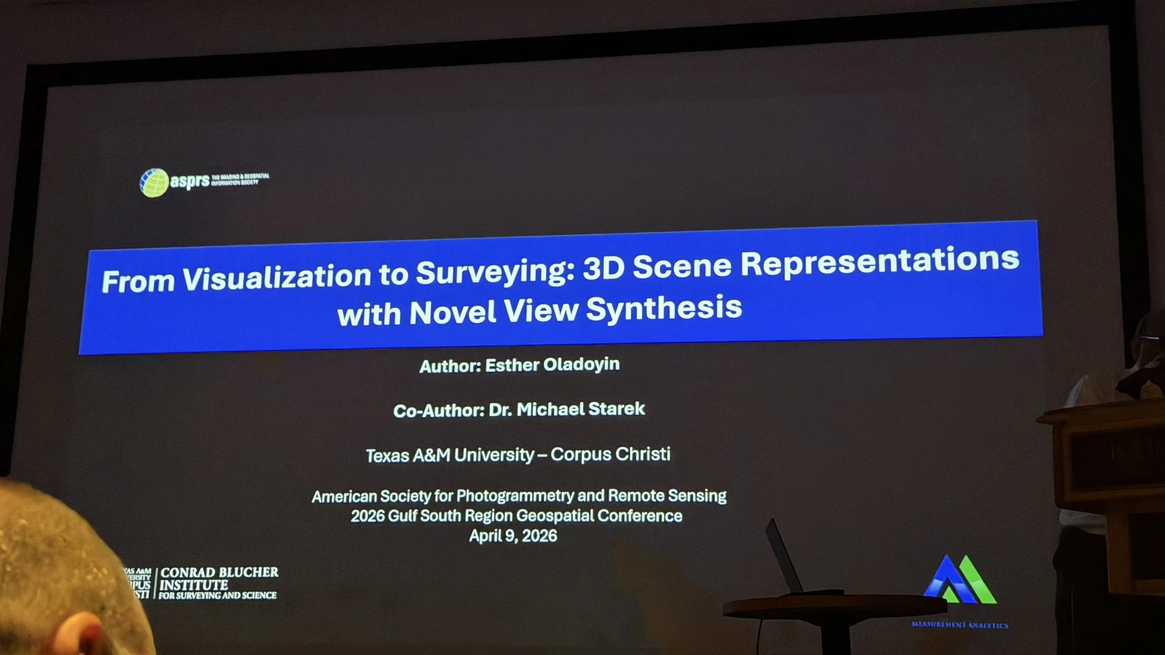
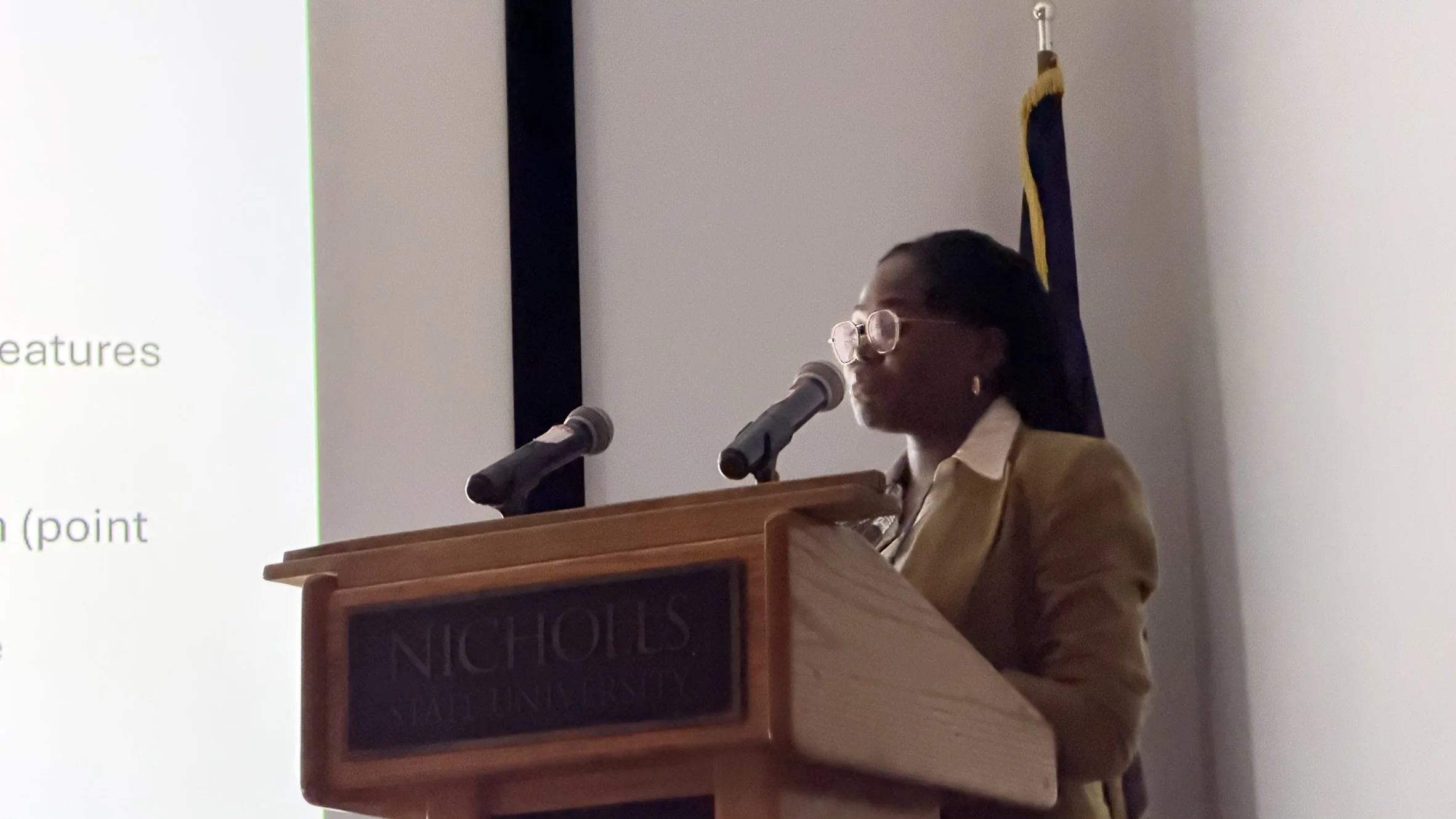
Finally, Esther presented her work titled “From Visualization to Surveying: 3D Scene Representations with Novel View Synthesis,” exploring emerging approaches such as Gaussian Splatting for 3D reconstruction and scene understanding.
These presentations highlight the breadth of research within the MANTIS Lab, the application of diverse remote sensing techniques to real-world problems, and the lab’s continued commitment to advancing geospatial science.