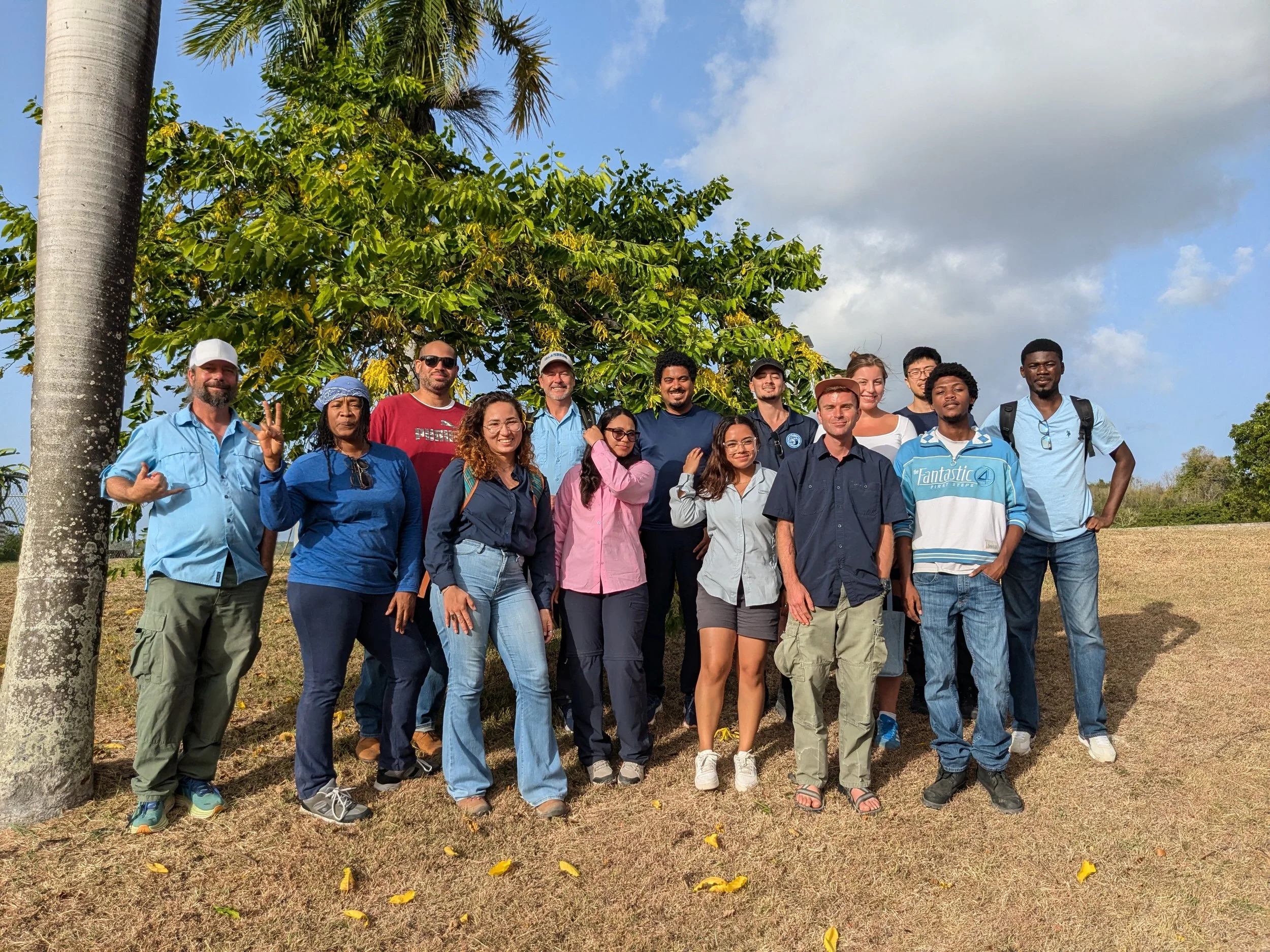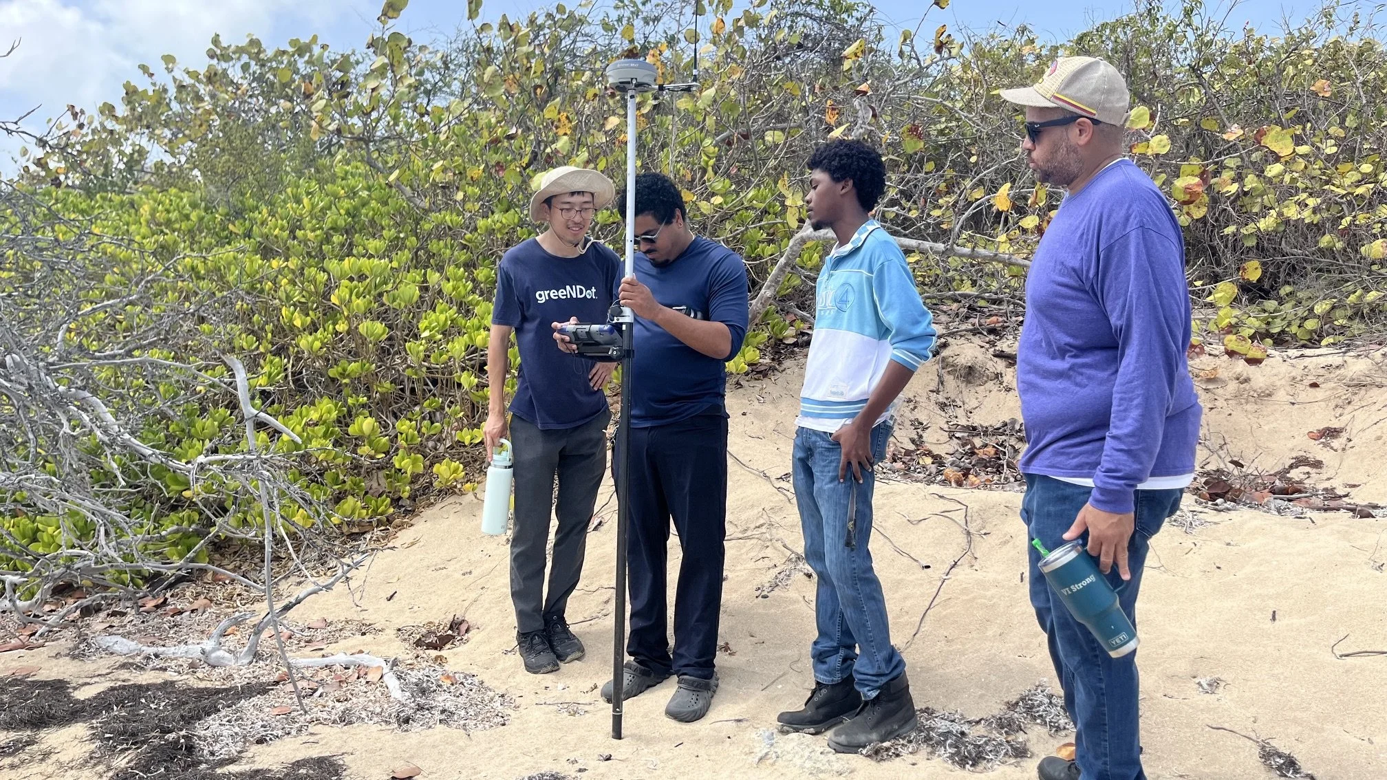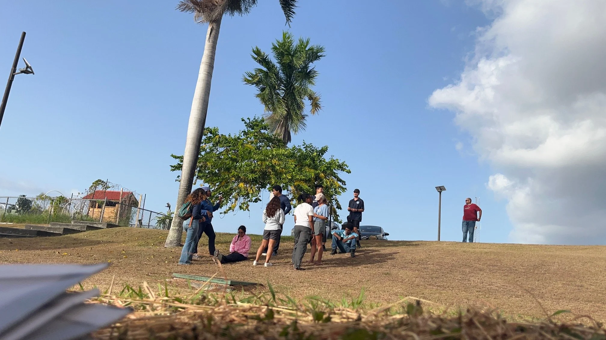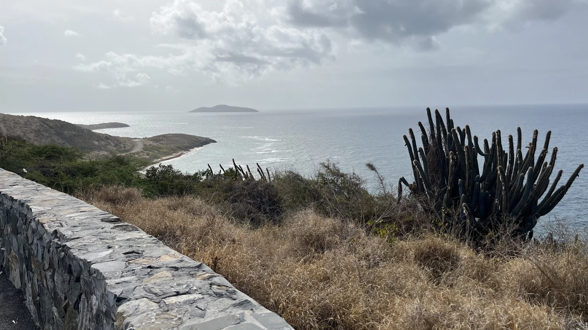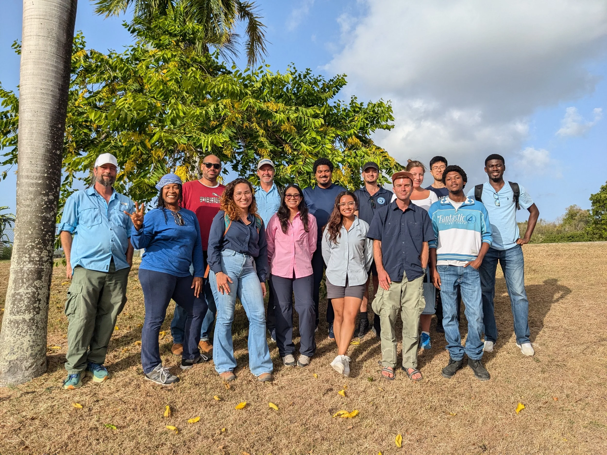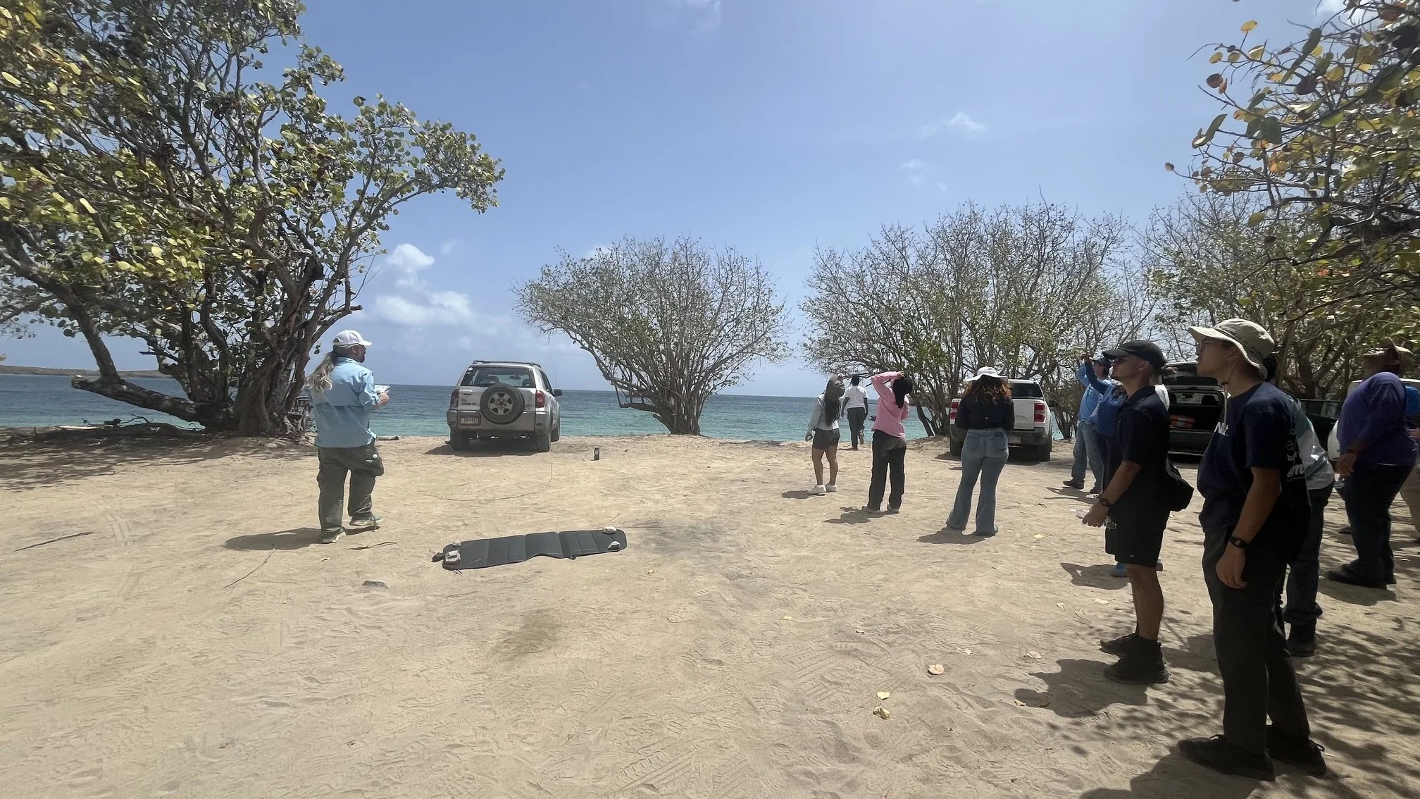
MANTIS Director Dr. Michael J. Starek and Research Engineer Jacob Berryhill served as instructors for the 2026 UAS Field Workshop, held July 13-14 in St. Croix, U.S. Virgin Islands. Organized in collaboration with colleagues from the University of the Virgin Islands and the University of Notre Dame, the workshop introduced participants to the fundamentals of UAS mapping in coastal environments, with particular emphasis on mapping to established survey datums. The two-day program combined classroom instruction on UAS mapping and photogrammetry fundamentals with field data collection training at Chenay Bay. Participants also gained hands-on experience in processing and analyzing UAS data and exploring practical mapping applications. The workshop was supported by the National Science Foundation-funded CREST Center for Geospatial and Environmental Informatics, Modeling, and Simulation.