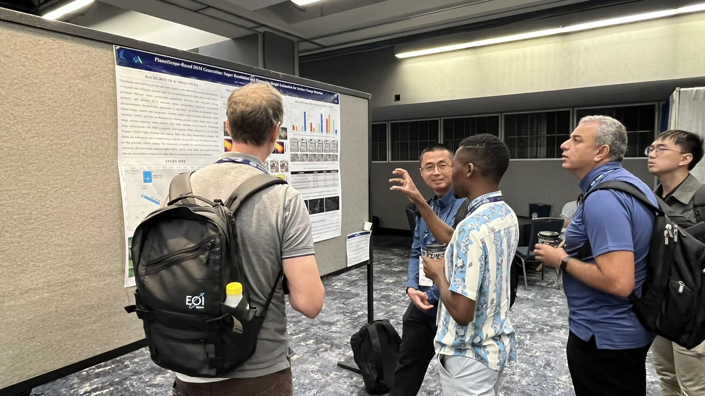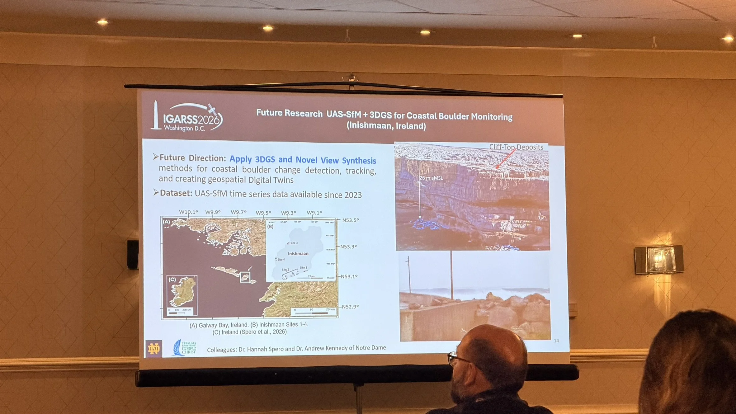
MANTIS participated in the 2026 IEEE International Geoscience and Remote Sensing Symposium (IGARSS), held August 9–14 in Washington, D.C. The conference brought together researchers and professionals from around the world to share advances in remote sensing, Earth observation, and geospatial technologies.
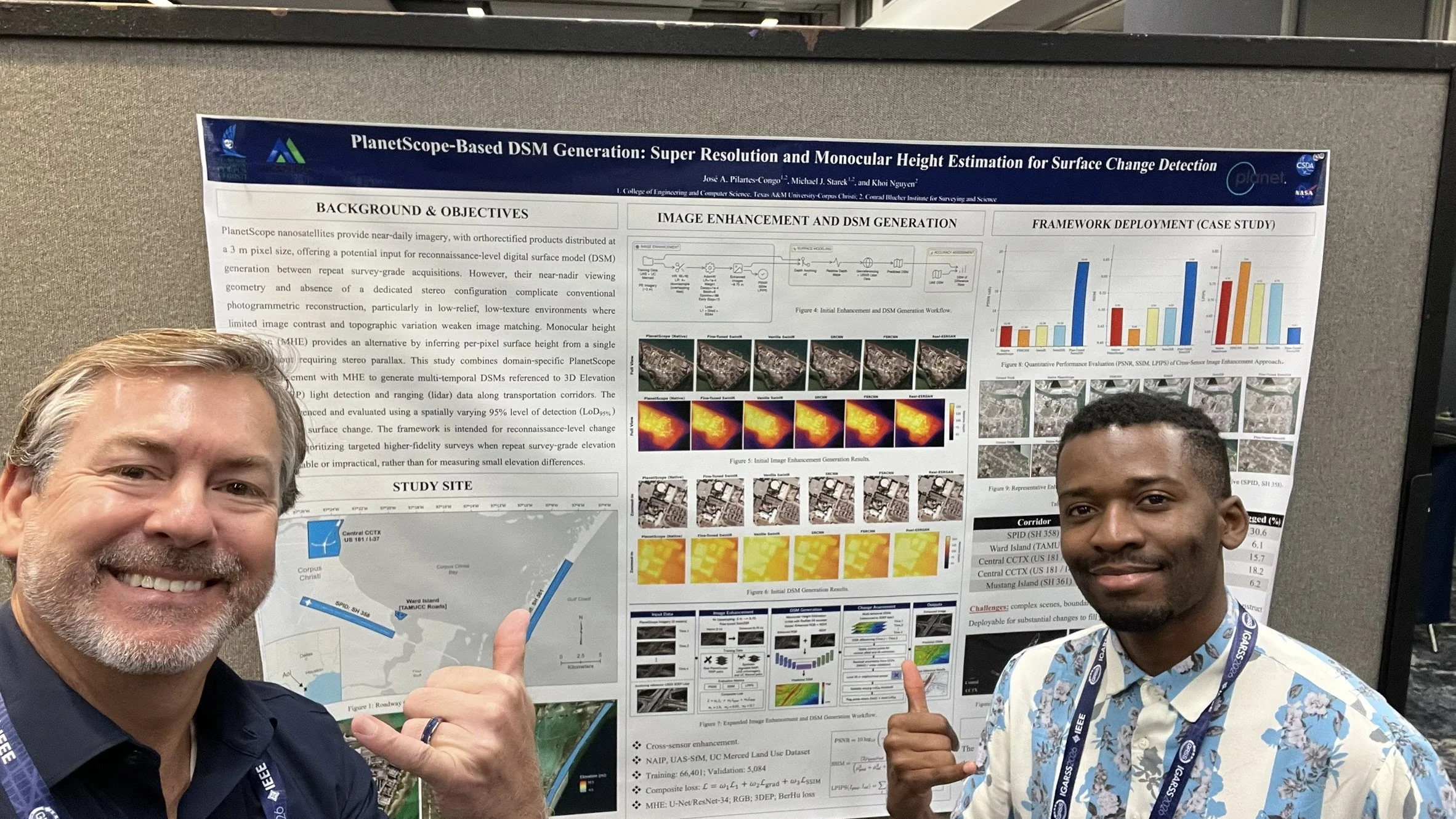
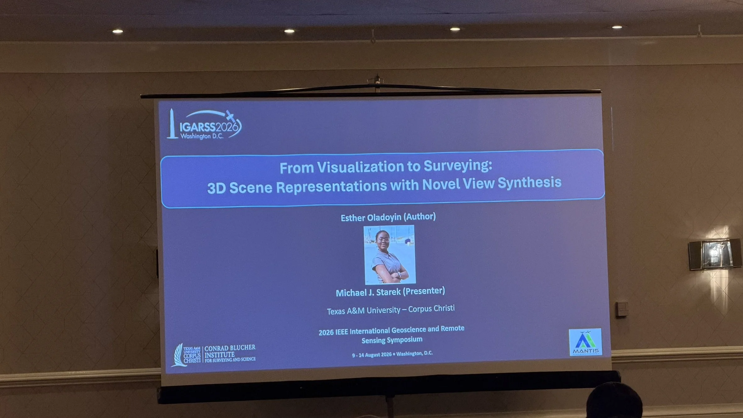
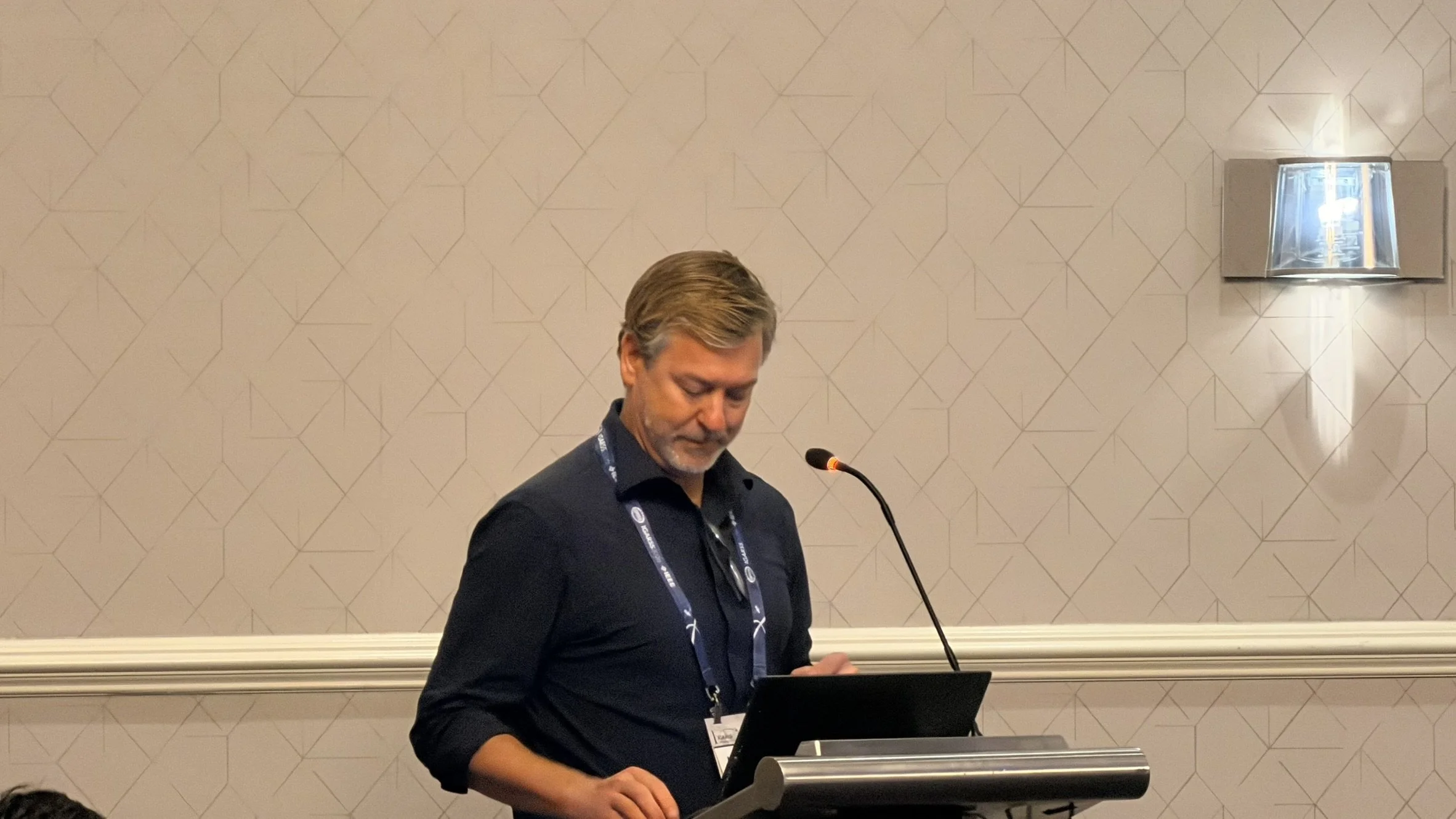
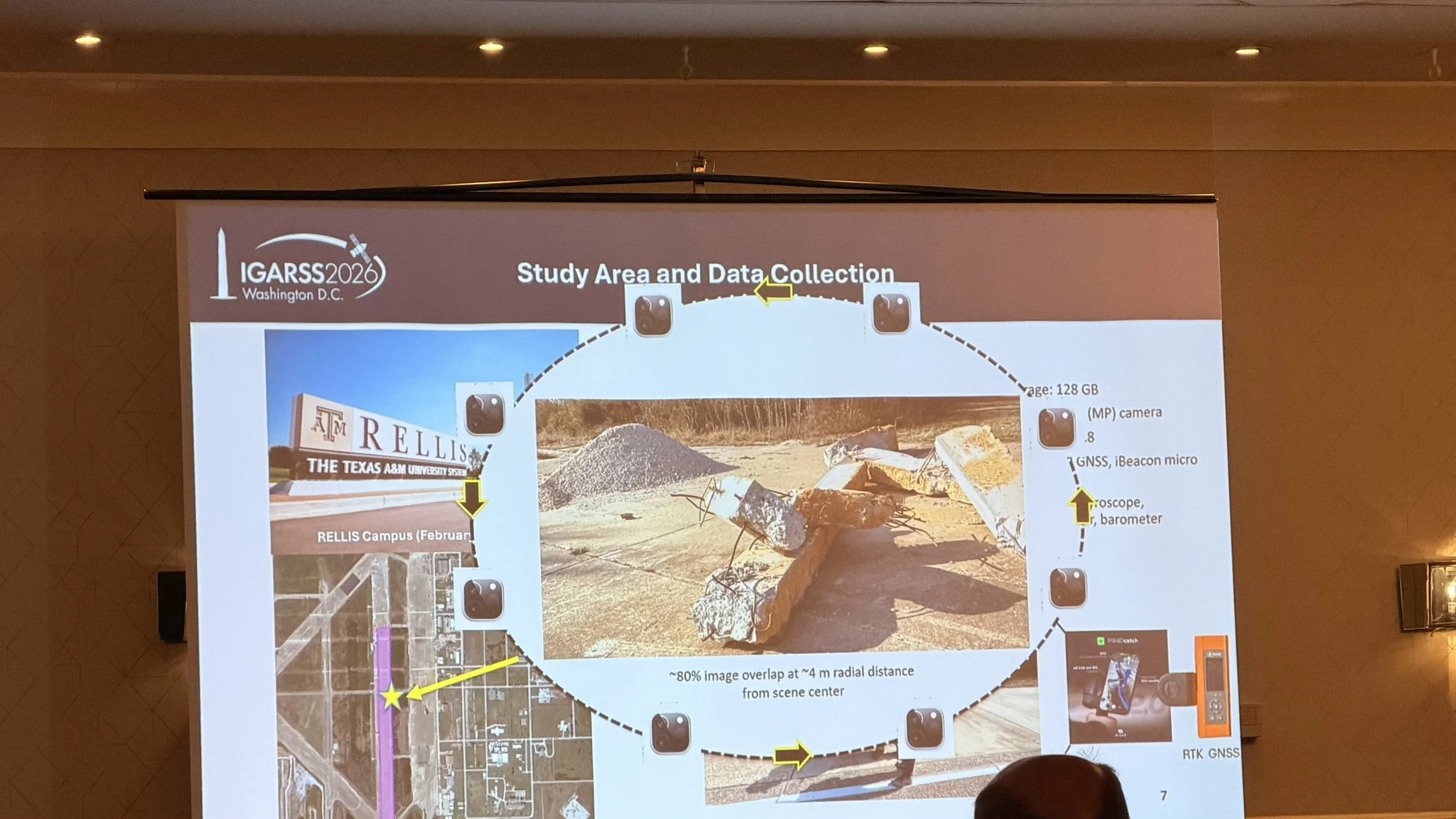
Ph.D. candidate José Pilartes-Congo presented “PlanetScope-Based DSM Generation: Super Resolution and Monocular Height Estimation for Surface Change Detection.” The study investigates the integration of image super-resolution and monocular height estimation to generate digital surface models from PlanetScope satellite imagery and support large-area surface change detection. MANTIS Director Dr. Michael J. Starek also presented “From Visualization to Surveying: 3D Scene Representations with Novel View Synthesis” on behalf of Ph.D. student Esther Oladoyin. This research examines the potential of novel view synthesis and emerging 3D scene representations to extend beyond visualization and support surveying and geospatial measurement applications. These presentations highlighted MANTIS research at the intersection of remote sensing, artificial intelligence, 3D scene reconstruction, and geospatial change analysis.