MANTIS Students Present at 2023 Student Symposium for Innovation Research & Creative Activities

Isabel Garcia, José Pilartes-Congo and Pratiskhya Regmi presented at the 2023 Student Symposium for Innovation Research & Creative Activities (SSIRCA) held at Texas A&M University-Corpus Christi on April 21.

The annual symposium serves as a platform for supporting student research and creative work, helping students achieve their academic and career goals. Participation encourages students to showcase their research ideas, discoveries, and creative work, and receive meaningful feedback from an evaluation panel of established TAMU-CC faculty members and researchers. Participation also prepares students for presentations at national and international events.

Larissa Marques Freguete Defends Master’s Thesis

One more to the MANTIS’ records! 2022 has been a year full of accomplishments for our lab: the master's student Larissa Marques Freguete has joined the list of MANTIS members who have successfully defended their research work this year. On November 15th, she publicly presented her master’s thesis titled Evaluation of UAS-based Photobathymetry Techniques for Coastal Shallow Water Mapping.

Larissa has been working with Remote Sensing with applications within the ocean realm since her bachelor studies and has dedicated herself to coastal bathymetry mapping subject after joining the MANTIS group as a master’s student. For her research topic, she accepted the challenge of tackling the issue of UAS-based photobathymetry techniques and has successfully accomplished it. To learn more about her thesis work, read the abstract below. 

Abstract 

Uncrewed Aircraft System (UAS)-based photobathymetry techniques are perceived as a solution for a more flexible, cost-effective, time-consistent, and spatially denser bathymetric mapping in shallow coastal waters. These are emerging techniques, implemented by small UAS equipped with digital cameras, and have only started to be explored, so questions about their application capabilities remain to be answered. This study aims to compare the three main UAS photobathymetry techniques (video-based linear depth inversion, optical inversion, structure-from-motion/multi-view stereo (SfM-MVS) photogrammetry) and UAS-based bathymetric light detection and ranging (lidar) regarding their operational advantages and limitations. The comparison was based on a literature review and on the performance assessment of two conceptually opposing UAS photobathymetry techniques: video-based linear depth inversion using the cBathy algorithm and SfM-MVS photogrammetry referred to as UAS-SfM. Flight experiments were conducted over a wave-dominated sandy beach on Mustang Island, TX, for the evaluation of linear depth inversion and over wave-protected bayside areas of St. George Island, FL, and Mustang Island, TX. The flights over bayside areas were set to evaluate the effect of camera orientation, solar elevation angle, and ground sample distance (GSD) on UAS-SfM performance. The cBathy algorithm provided a digital surface model (DSM) of the surf zone bathymetry with an overall root mean square error (RMSE) of 0.21 m. Performance of the UAS-SfM flight experiments varied by study site and flight design. The flight with a camera orientation of 30o off-nadir, orientated along the sun azimuth, at high solar elevation angle, and at an altitude of 100 m produced the most accurate bathymetric DSM with an RMSE of 0.15 m at the Florida study site. Based on the comparative field tests and literature review, the ultimate contribution of this work entails a set of guidelines and recommendations for the operational use of the various UAS-based photobathymetry techniques.


Xiaojun Qiao Defends Doctoral Proposal

On a sunny Friday afternoon of August 26, 2022, in a sinking Corpus Christi coast, one more MANTIS student has successfully defended a dissertation proposal.

Xiaojun has been working with Remote Sensing and applications for measurements with hyperspectral sensors since his master’s degree and has focused on the utilization of Interferometric Synthetic Aperture Radar (InSAR) for the estimation of land subsidence on the Texan coast as his Ph.D. research topic. His work has been developed under Dr. Chu’s supervision and it is titled  Estimating Land Subsidence and Sea-Level Changes Combined with Geodetic Techniques along The Texas Gulf Coast, USA. To learn more, read his abstract below.

Abstract

Global sea-level data have long been recorded via tide gauge (TG) stations by measuring relative water-land movement, referred to as relative sea-level change (RSLC). RSLC is an aggregated effect of 1) vertical land motion (VLM) and 2) sea surface height changes relative to a defined geocentric reference frame, referred to as absolute sea-level change (ASLC). A consistently rising sea level can increase flood risks and cause remarkable impacts on ecosystem resilience, near-shore infrastructures, the daily lives of coastal residents, etc. Understanding the spatial and temporal patterns of VLM is deemed crucial for the knowledge discovery of RSLC. This research proposes to estimate VLM along the Texas Gulf Coast, one of the leading subsided areas in the United States, from multiple sources of observation data: 1) TG plus satellite radar altimetry (SRA); 2) the global navigation satellite system (GNSS); and 3) the interferometric synthetic aperture radar (InSAR). A high-resolution VLM map will be produced by exploring the spatiotemporal patterns of VLM results from different methods. In addition, the VLM results will be aggregated with the ASLC trend estimated using SRA data to project RSLC changes. Finally, based on the estimation results of VLM and RSLC, locations for installing new GNSS/TG stations will be recommended through geographic information system (GIS) and spatial analysis by considering various features, such as distribution of existing stations, spatiotemporal variability of VLM/RSLC, estimation uncertainty, and so forth. Results will hopefully provide knowledge to pertinent stakeholders to assist the decision-making process.


MANTIS Takes Part in Del Mar’s Code Summer Camp

This summer, the 4th edition of Del Mar's Code Camp unfolded from July 18th to July 22nd within the FEMA Dome at the Del Mar College Windward Campus. Del Mar's Code Camp is an integral component of the college's Youth Program, designed to keep young minds active and engaged during the summer months while fostering their continued education. This particular camp serves as an inspirational initiative aimed at motivating middle school students, to explore STEM disciplines, particularly the realm of computer science.

Throughout the span of a week, participants were immersed in the fundamentals of programming logic and code scripting. They also had the chance to put their newfound knowledge to practical use by constructing and programming robots and drones.

And speaking of drones, MANTIS Lab was naturally a part of the action! During the latter part of the event, MANTIS Lab students, in collaboration with other researchers affiliated with the AI2ES NSF Institute, joined forces with the young participants. MANTIS students had the unique opportunity to introduce these bright minds to the diverse applications of unmanned aircraft systems (UASs) and Lidar-based data. They delved into various sensor types and platforms, providing insights into the groundbreaking work undertaken by the group.

This marked the second occasion where MANTIS Lab participated in such an event, and the experience was gratifying. The genuine enthusiasm witnessed in these young minds within the field was particularly rewarding.

Looking ahead, MANTIS Lab is eager to continue contributing to future editions of the Code Camp, with the goal of inspiring and nurturing the potential of many more young minds in the world of STEM.

MANTIS’S Director Appointed CBI Chair for Remote Sensing and Autonomous Systems for Geomatics

We are pleased to announce the appointment of Dr. Michael Starek to the position of CBI Chair for Remote Sensing and Autonomous Systems for Geomatics. The appointment news took place on June 24, 2022, during the first CBI Town Hall for the year, as the Institute’s Director Dr. Smith presented the upcoming changes in the organizational structure and new steps for its future.

To put it shortly, to be a CBI Chair means to be a scientific leader for the institute. The position is an honorary appointment that acknowledges and recognizes academic achievement and provides a valuable tool to recruit and retain excellent faculty. To be nominated for this position, the individual must present a high level of performance and recognition of that performance within their field. Moreover, the position holders are appointed to the CBI Scientific Leadership Team which interfaces with the CBI Advisory Board as well as advises the CBI Executive team.

Dr. Starek has been a passionate docent and a very active and prolific researcher holding multiple titles as Program Coordinator of TAMUCC’s Geospatial Computer Science Ph.D. program, Associate Professor in the Geospatial Systems Engineering M.Sc. program, MANTIS’s Director, besides other roles. And now, he will have meritely added the CBI Chair title to this list.

“Dr. Starek embodies what a CBI Chair should be which is why he was selected as one of the inaugural Chairs. Mike is a true scientist and is well respected on and off campus through his research and publications. We are thrilled to have Mike lead us into the future in the Remote Sensing and Autonomous Systems for Geomatics area of research.”

CBI Director, Dr. Smith

Congratulations, Professor!

José Pilartes-Congo Defends Master’s Thesis

This past Friday, April 22nd, 2022, one more of MANTIS members, Jose Pilartes-Congo, has successfully defended his master’s thesis: Evaluation of Different GNSS Solutions and SfM Software Workflows for UAS Surveying of Shorelines.

José became part of the MANTIS family as an undergraduate student and stayed for his master’s degree. During his time as a master’s student, he focused on studying the impact of different methods for direct georeferencing of UAS-based imagery and the vertical accuracy performance of different SfM-MVS photogrammetry software. He has successfully accomplished his thesis work and has the intention of extending his research toward a Ph.D. dissertation.

MANTIS Lab congratulates our newest M.Sc. holder student and looks forward to seeing his next work. To learn more about his thesis work, read the abstract below.

Abstract

The emergence and modernization of Unoccupied Aircraft Systems (UAS), commonly known as drones, and Structure-from-Motion (SfM) photogrammetry have made significant contributions to the geospatial and surveying world. Traditionally, indirect georeferencing by using ground control points (GCPs) is used to georeference UAS imagery when high-accuracy positioning is required. However, this approach is tedious and impractical when surveying remote or inaccessible coastal areas, or when desiring to map coastlines from shipborne UAS operations. The broad applicability of UAS and SfM technologies has led to a wide range of data collection and SfM processing workflows that can be utilized, enhanced further by the implementation of various Global Navigation Satellite Systems (GNSS) techniques for direct georeferencing of the imagery. As part of an investigation conducted by the Office of Coast Survey (OCS) at the National Oceanic and Atmospheric Administration (NOAA), this study seeks to identify UAS-SfM data collection and processing workflows that maintain vertical accuracies at the decimeter level without the aiding of GCPs. The study uses UAS imagery collected from two different UAS platforms at two different sandy beach study sites along the southern Texas Gulf Coast. The objectives of the study are two-fold: (i) examine the applicability of Real-Time Kinematic (RTK), Post-Processed Kinematic (PPK), and Precise Point Positioning (PPP) GNSS solutions as plausible substitutes to ground control points (GCPs) for UAS-SfM shoreline mapping, and (ii) to evaluate the impact of three-commercial SfM software (Drone2Map, Metashape, and Pix4D) and one open-source software (Web OpenDroneMap) on the quantitative accuracy and qualitative appearance of resulting mapping products. Results showed that RTK and PPK can reach centimeter-level vertical accuracies, thus making them the most suitable alternatives to GCPs for remote surveying when plausible. When using PPK, the highest accuracies were reached when using base stations within 30 kilometers of the survey site, especially when combined with higher percentages of PPK fix, a measure that explains the number of photos that successfully underwent PPK correction. PPP offers the best alternative for remote UAS surveying, given that it is a single-receiver method, but the results evaluated here did not meet desired vertical accuracy levels. When comparing SfM software, Metashape and Pix4D proved to be the most robust software alternatives achieving repeatable centimeter-level vertical accuracies for derived mapping products.

TMISD High School Students Visit MANTIS

Last Wednesday, April 13th, MANTIS had the pleasure of being visited by the high school students from Tuloso Midway Independent School District (TMISD). The students are the beneficiaries of the TMISD regional CTE program of study focused on Geospatial Engineering and Land Surveying which has the purpose of preparing high school students for their academic development and providing the necessary skills required by the job market in this field.

As a way of showing the students the possibilities for their academic and professional development, they were offered a visit to the TAMUCC campus where they were introduced to the GISC program by Dr. Hongzhi Song, land surveying techniques by Dr. Davey Edwards, and the work developed by the MANTIS Lab.

For the MANTIS Lab tour, the students were first taken to MANTIS’ main premise where they were shown the variety of products generated by 3D mapping with lidar scanning and UAS-based imagery. They were also introduced to backpack lidar and to the concepts of 3D mapping, SfM photogrammetry, point clouds, etc. The sign of excitement was very visible on the student’s faces when they experienced 3D visualization of point clouds derived from different platforms.

The second part of the tour was a showcase of the equipment used for the research projects within the group: thermal cameras, TLS, surveying equipment, and different types and models of UAS platforms. In this part of the tour, they were presented they were introduced to the equipment and their applications and were encouraged to “play” with the thermal camera and to explore (with the proper safety measurements) the displayed surveying platforms.

The tour was topped off with the students having the hands-on experience of flying an indoor safe toy drone model.

Our wish is to see more and more young fellows entering the geospatial field, doing great deeds, and being well accomplished.

TAMUCC Students Participation in the UN GGIM MAPATHON 2022

On this past Wednesday, March 30th, TAMUCC students participated for the first time in the UN Mapper Mapathon event organized by the UN GGIM Academic Network. Mapathon is a once-in-a-year event where people all around the world get connected to voluntarily help mapping areas covered by UN missions to provide trustworthy information to the peacekeeping and humanitarian actors.

This year, the mapping project was focused on the African country Lybia. The participants were given the UNITED NATIONS FOR LYBIA-TRIPOLI project to work on, in which they had to map building footprints to support peacekeeping in the country. The information provided by the mappers will be used by peacekeepers in the region to assess inaccessible locations on the ground and perform operational planning.

According to the students’ feedback, participating in this event was a great experience because - besides the humanitarian purpose of the project - the used platform is very user-friendly and it does not require previous knowledge in the GIS field to be able to contribute, which offered a non-taxing experience to the users. The Mapathon session held in TAMUCC was attended by students from different programs (CMSS Ph.D., GSCS Ph.D., and GSEN MS) and MANTIS could not be left out of it: the lab participation was represented by the students Jose Congo, Pratikshya Regmi, and Larissa Marques Freguete as session mentor.

Fun fact: More than 13.000 buildings were mapped in this event!

One More Successful Participation of MANTIS Students at ASPRS 2022 Annual Conference

Click on the image to enlarge it

MANTIS Lab has a history of supporting the students’ professional and academic development by encouraging them to participate in workshops, conferences, and publishing their work. The consistent participation of MANTIS members in ASPRS annual conferences is a prove of it.

This year, the ASPRS 2022 Annual Conference was divided into two parts: a face-to-face conference format during Geo Week 2022 which occurred in Denver, CO, from February 6th to 8th, and an online Virtual Technical program that will take place in March. MANTIS Lab had its participation at the in-person conference represented by the members Dr. Mohammad Pashaei (Post-Doc fellow), Isabel Garcia (Ph.D. CMSS student), and José Pilartes-Congo (MS GSEN student). And one more time, the members had a successful participation by presenting their works during the oral and poster presentation sessions.

Below are the work titles presented by the attendees:

Dr. Pashaei: Full-Waveform TLS Point Cloud Classification Based on Samples of Digitized Echo Waveform (oral session).

Isabel Garcia: Development of a Best Practices Workflow for Monitoring Natural and Built Coastal Infrastructure with a Mobile Lidar System (poster session).

José Pilartes-Congo: Evaluation of Different GNSS Solutions on UAS-SfM Accuracy for Shoreline Surveying (poster session).

Good work, MANTISees!

431 Exchange Scholarship Awarded to MANTIS student, José Pilartes-Congo!

GSEN M.S. student and MANTIS Research Assistant José Pilartes-Congo is certainly having a good beginning of the year: he has just been awarded a 431 Exchange Scholarship.

431 Exchange is a nonprofit organization with a mission of helping people from different races, gender, or socio-economic backgrounds to succeed in their academic life. The purpose of this scholarship is to assist not only in the students’ academic performance but also in their social and extra-academic activities.

MANTIS student/research engineer, Jacob Berryhill, Defends Thesis!

Jake Berryhill and his defense committee members: Dr. Jim Gibeaut, Dr. Tianxing Chu & Dr. Michael Starek

Jacob Berryhill has a long duration connection with MANTIS Lab: he has been working with MANTIS since 2013 while pursuing his bachelor’s degree in Geographic Information Science. After his graduation, he continued working with MANTIS and in 2020 he became an effective MANTIS staff as a Research Engineering Associate II. This past Friday, November 12th, Jake has assured his master’s degree in Geospatial Systems Engineering after successfully defending his thesis, UAS Mapping for Oil Spill Response in Sandy Beach Environments: Feasibility and Best Practices. To learn more, read his abstract below.

ABSTRACT

Oil spill events can be catastrophically harmful to coastal ecosystems, causing considerable long-term environmental and economic impacts. Conducting accurate surveys immediately after a spill incident is of crucial importance for locating, determining oiling extent and volume, and for monitoring oil movement. Historically visual observations and traditional survey methods are performed to investigate the affected shoreline after a spill. Diagnosis of oiling extent is limited to line-of-sight observations on the ground or by expensive manned aircraft operations. Unmanned Aircraft Systems (UAS) have been increasingly employed in various real-world applications with UAS structure from motion (SfM) photogrammetry becoming an emerging, cost-effective and flexible solution for fulfilling various surveying and mapping needs. This thesis examined the potential and feasibility of using commercially available small UAS platforms with SfM photogrammetric techniques for shoreline oiling surveying. The state of the art of UAS-SfM surveying pertaining to oil spill response was reviewed, and studies performed in support of developing guidelines for UAS-SfM mapping best practices for Shoreline Cleanup and Assessment Technique (SCAT). A typical stretch of beach in South Texas was chosen as the study area in the thesis. The study site contains beaches that are both maintained and unmaintained. Based on the data collected at the study area, research findings suggest that without ground control points (GCPs), SfM processing with post-processing kinematic (PPK) or real-time kinematic (RTK) global navigation satellite system (GNSS) enabled image location geotags can achieve remarkably higher accuracy than that with autonomous GNSS image location geotags. Adding more GCPs can improve the accuracy for autonomous GNSS geotagged images. For the specific study area, the accuracy performance of the PPK/RTK  GNSS SfM products is on par with that of the autonomous GNSS enabled products with rigorous GCPs. By comparing against check points, the z residuals of a SfM-generated DSM were found better near the center of the beach and worse towards the water and in the dunes and vegetation. A GCP control network was found to alleviate the bowling effect. An alternative solution for alleviating the bowling effect is the use of high overlap oblique imagery and/or multi-elevation coverage. In time critical cases where rapid SfM processing is essential, commercial SfM software demonstrated that several hours may be saved in processing in exchange for lower quality geospatial data products.

MANTIS Student, Mohammad Pashaei, Defends his Dissertation!

This past Friday, October 29th, Mantis Ph.D. candidate (now Dr.) Mohammad Pashaei has successfully defended his dissertation, Applications of Deep Learning and Multi-Perspective 2D/3D Imaging Streams for Remote Terrain Characterization of Coastal Environments. To learn more, read his dissertation abstract below.

ABSTRACT:

Updated and accurate geospatial information about land cover and elevation (topography) is necessary to monitor and assess the vulnerability of natural and built infrastructure within coastal zones. Advancements in remote sensing (RS) and autonomous systems extend surveying and sensing capabilities to difficult environments, enabling more geospatial data acquisition flexibility, higher spatial resolutions, and allowing humans to “see” in ways previously unattainable. Recent years have witnessed enormous growth in the application of small unmanned aircraft systems (UASs) equipped with digital cameras for hyperspatial resolution imaging and dense three-dimensional (3D) mapping using structure-from-motion (SfM) photogrammetry techniques. Rapid proliferation in light detection and ranging (lidar) technology has resulted in new scanning and imaging modalities with ever increasing capabilities such as geodetic-grade terrestrial laser scanning (TLS) with ranging distances of up to several kilometers from a static tripod. Full-waveform (FW) lidar systems have led to a significant increase in the level of information extracted from a backscattered laser signal returned from a scattering object. With these advancements in remote sensing capabilities, comes an exponential increase in potential information gain at the cost of greatly enhanced data complexity. New methods are needed to efficiently extract meaningful information from these data streams. In this regard, deep learning (DL) techniques, in particular, convolutional neural network (CNN), have recently outperformed state-of-the-art machine learning techniques in a wide range of applications including RS. This study presents three main contributions in the use of DL for exploitation of UAS-SfM and lidar data for coastal mapping applications: 1) Evaluation of different DCNN architectures, and their efficiencies, to classify land cover within a complex wetland setting using UAS imagery is investigated; 2) DCNN-based single image super-resolution (SISR) is employed as a pre-processing technique on low-resolution UAS images to predict higher resolution images over coastal terrain with natural and built land cover, and its effectiveness for enhancing dense 3D scene reconstruction with SfM photogrammetry is tested; 3) Full waveform TLS data is employed for point cloud classification and ground surface detection in vegetation using a developed DCNN framework that works directly off of the raw, digitized echo waveforms. Results show that returned raw waveform signals carry more information about a target’s spatial and radiometric properties in the footprint of the laser beam compared to waveform attributes derived from traditional waveform processing techniques. Collectively, this study demonstrates useful information retrieval from hyperspatial resolution 2D/3D RS data streams in a DL analysis framework.

MANTIS Student, Isabel Garcia, on TV News!

This week, the KRIS 6 News – Corpus Christi TV channel aired a report on Hispanic women in the STEM field as part of the celebration of Hispanic Heritage Month.

Two of CBI’s members, the Ph.D. students Marina Vicens-Miquel and Isabel Garcia (one of MANTIS’ very own students) were interviewed by the KRIS-TV’s reporters and talked about their research and their views on the representation of Hispanic women in the STEM field.

In her interview, Isabel talked about her passion for surveying and Math and explained her work on mapping with mobile lidar.

MANTIS in the Field after Hurricane Hanna

Beginning Wednesday, July 29th, Mantis began the first of several field campaigns to the survey the the damage along the Texas coast from Hurricane Hanna. Mantis and the field operations crew from the Conrad Blucher Institute for Surveying Science are working together to collect UAS and mobile lidar data for the City of Corpus Christi and Nueces County. The UAS and mobile lidar data collected can be processed to generate high resolution (2 cm accuracy) interpolations of the post-storm ground surfaces. Presently, survey priority has been given to the beach between the horse path (south of Access Road 6) and Packery Channel (see map in photo gallery). With beach access points damaged by the hurricane, especially in more remote locations, UAS data will be paramount in aiding city planners as they assess the damage from the recent hurricane. This data will also help inform their decisions for repairing and rebuilding in the wake of Hurricane Hanna.

Mohammad Pashaei Defends Proposal!

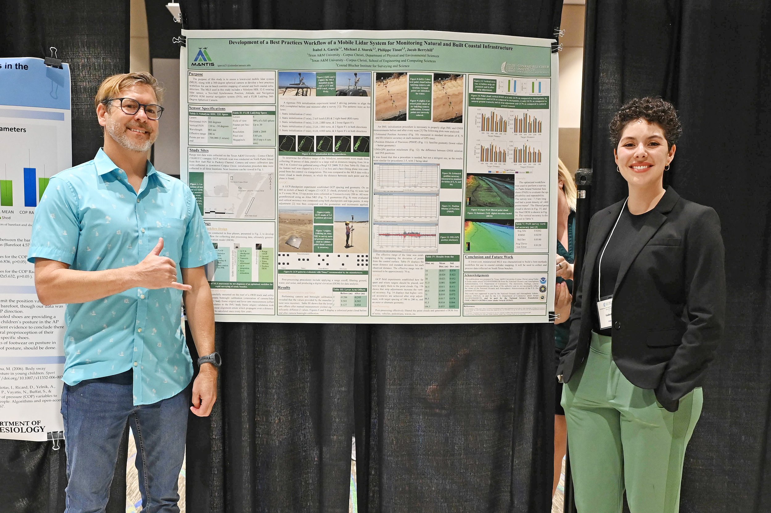
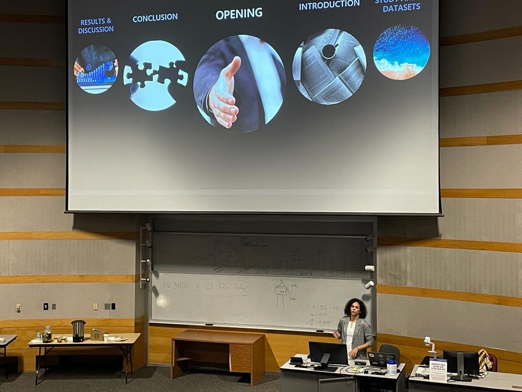
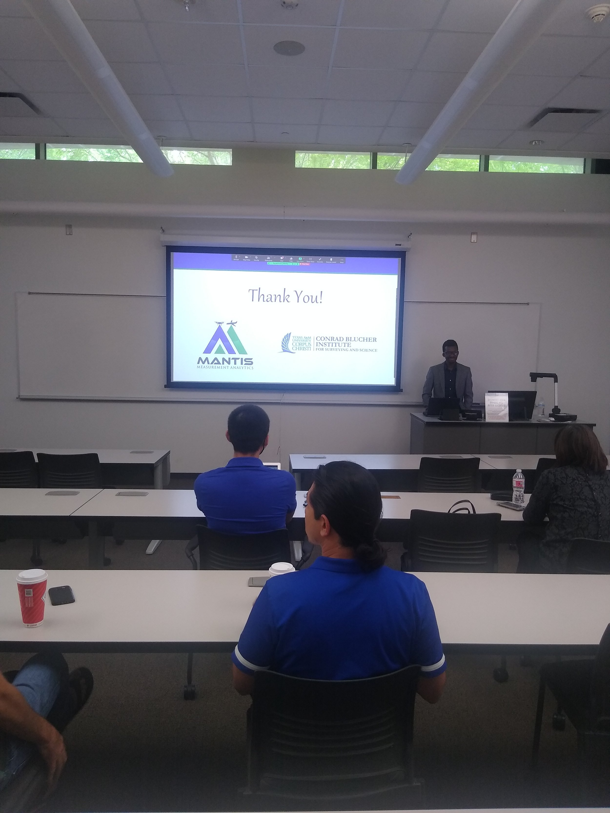
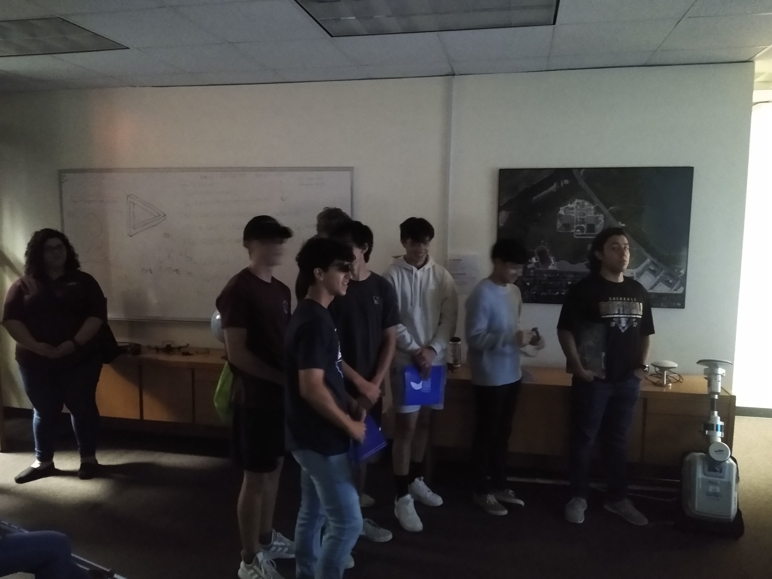
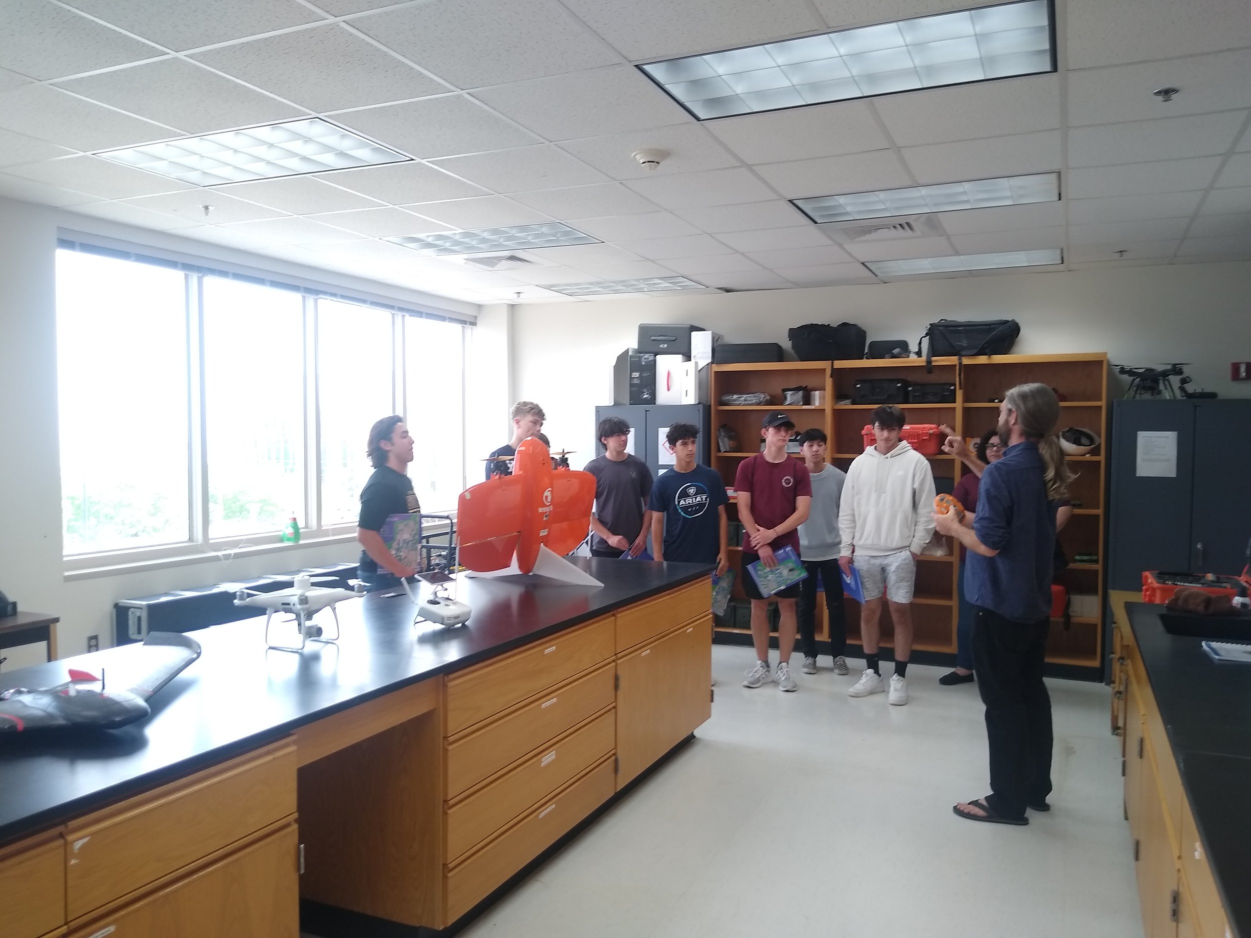
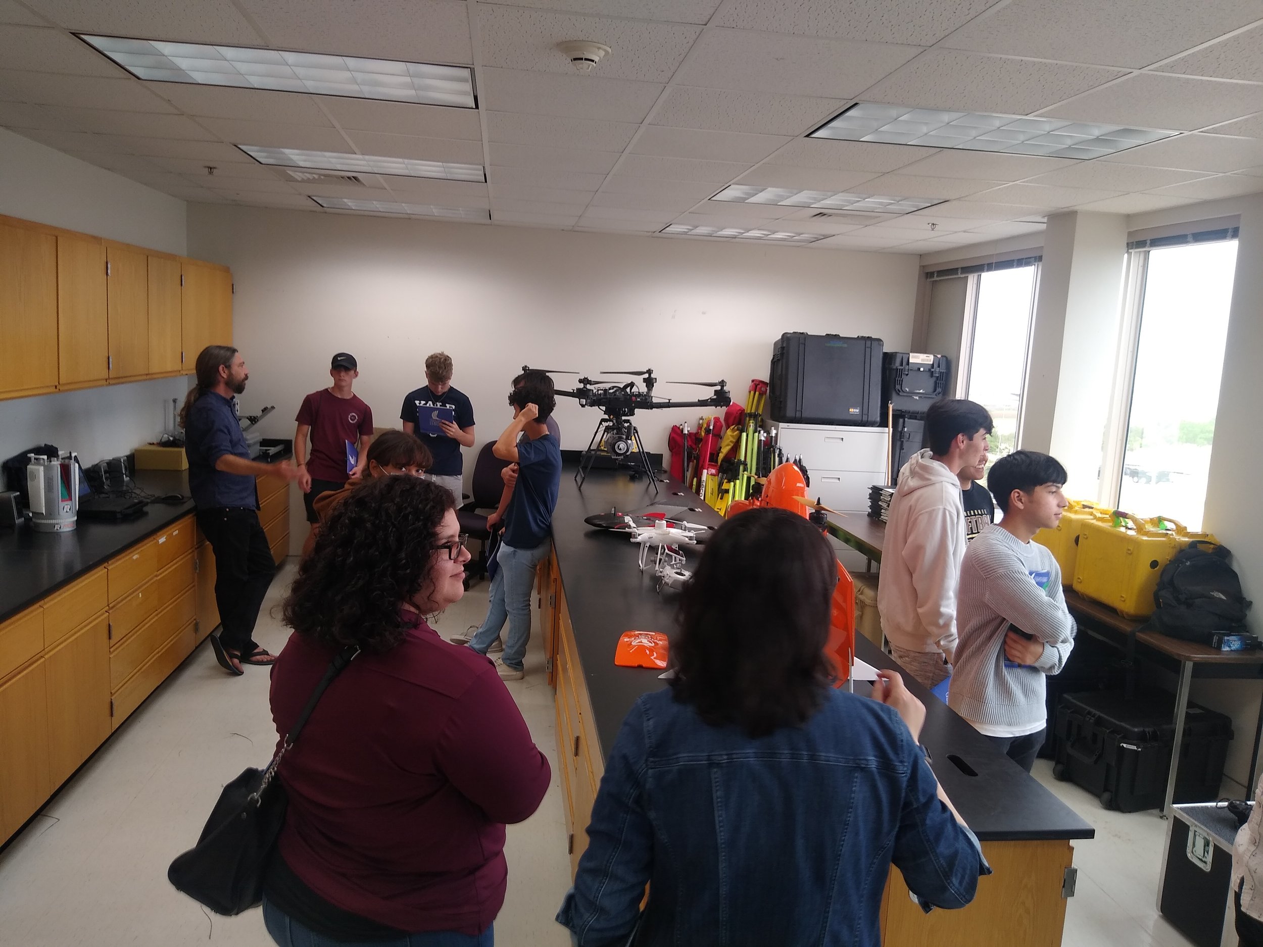
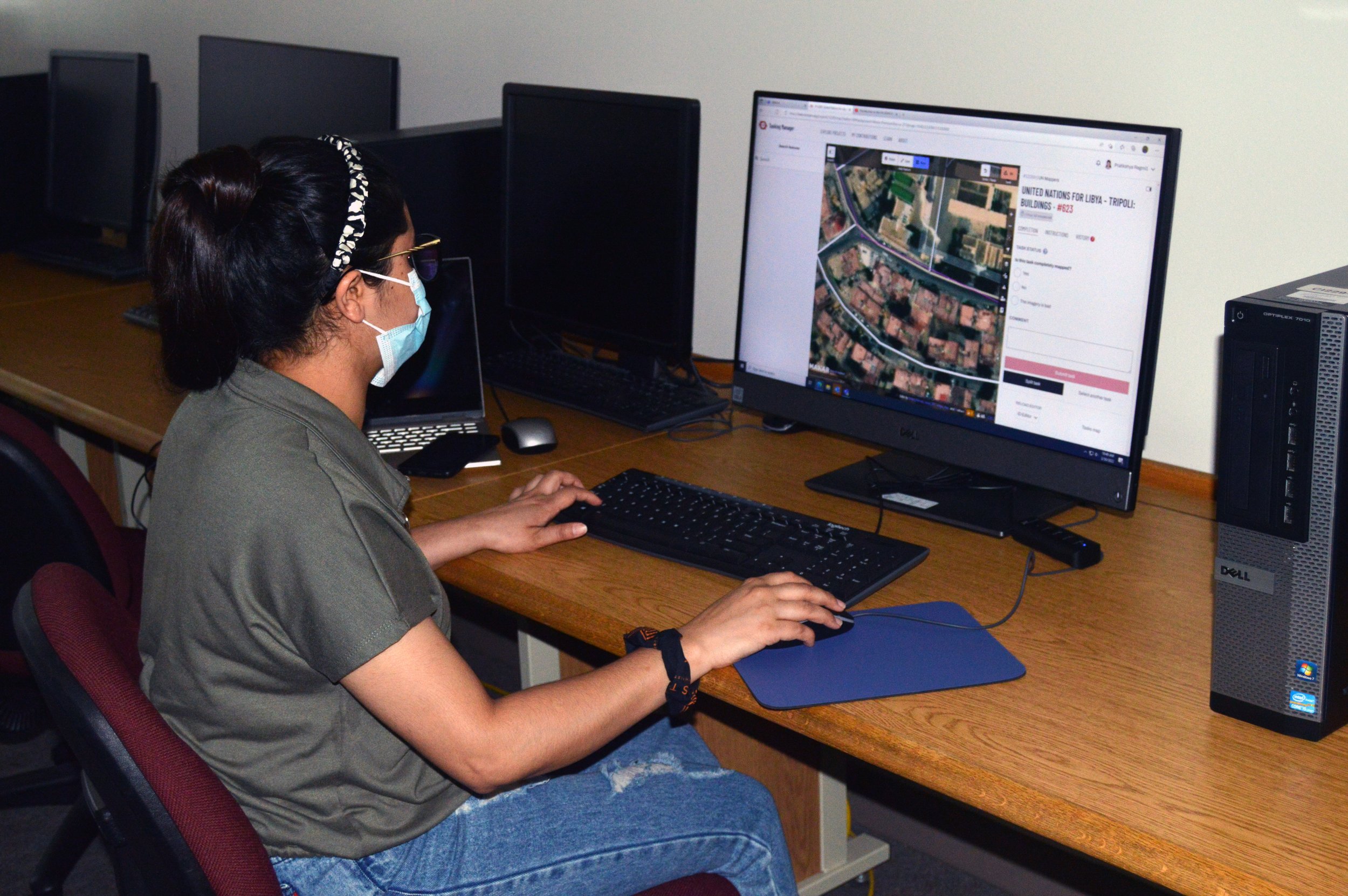
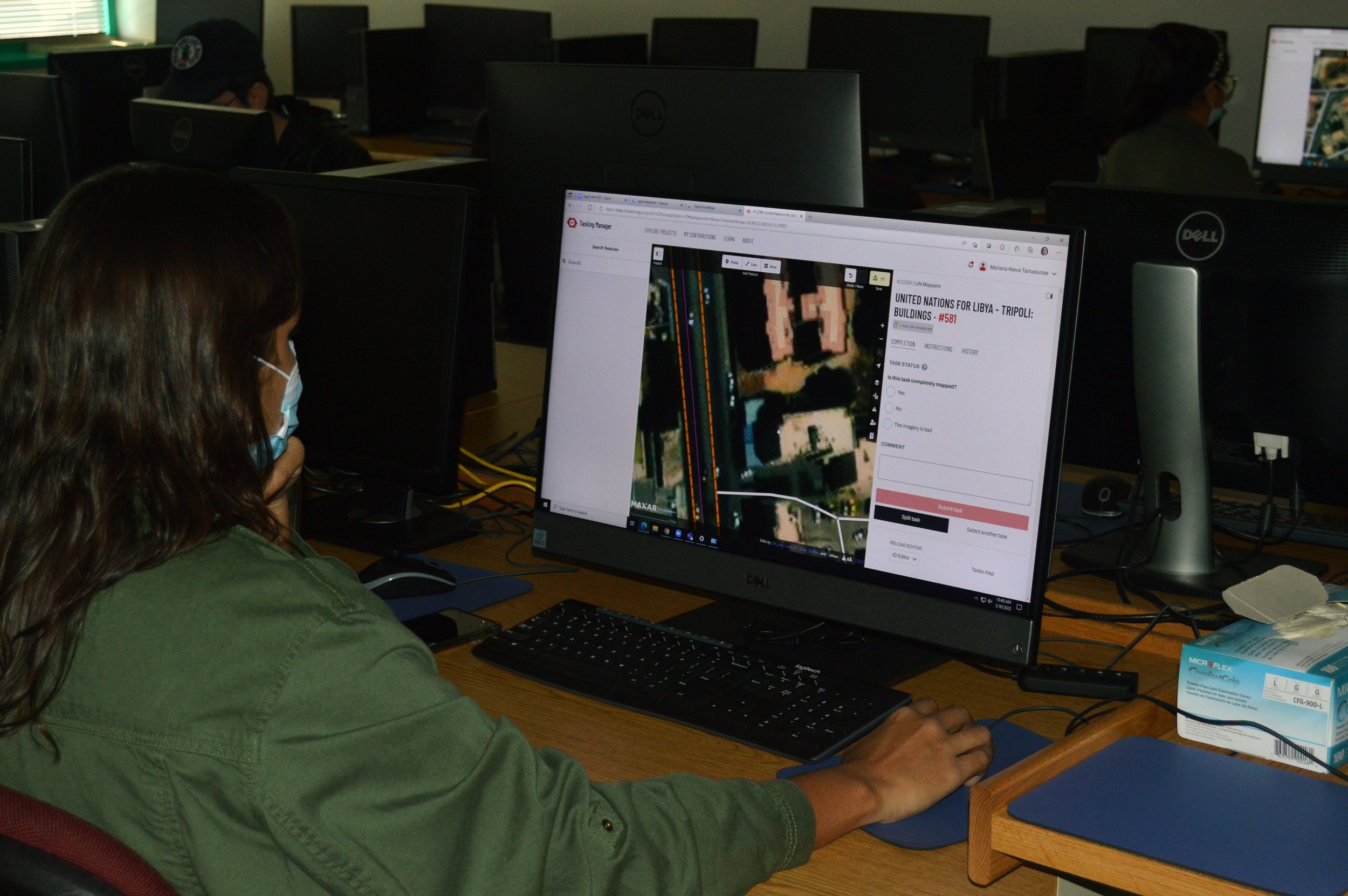
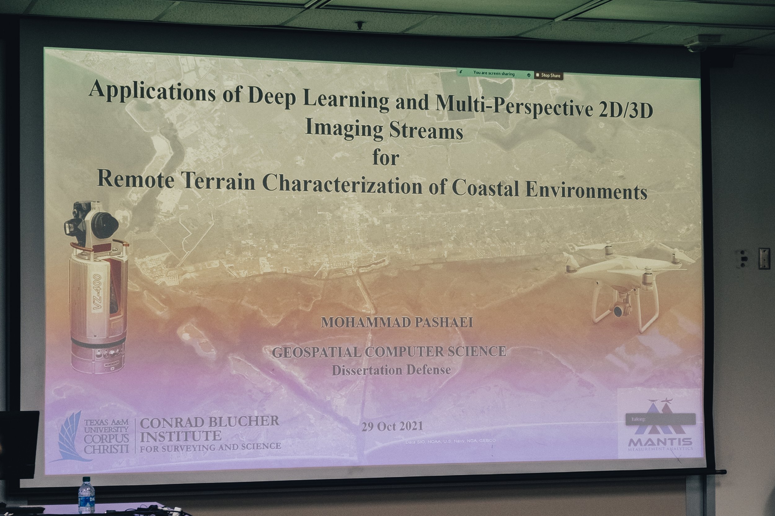
Once again, amid the global pandemic, another Mantis student successfully defended a doctoral proposal. Today at 10 am, Mohammad Pashaei, virtually defended his dissertation proposal, Applications of Deep Learning and Multi-Perspective 2D/3D Imaging Streams for Remote Terrain Characterization of Coastal Environments. To learn more, read his abstract below.

Abstract

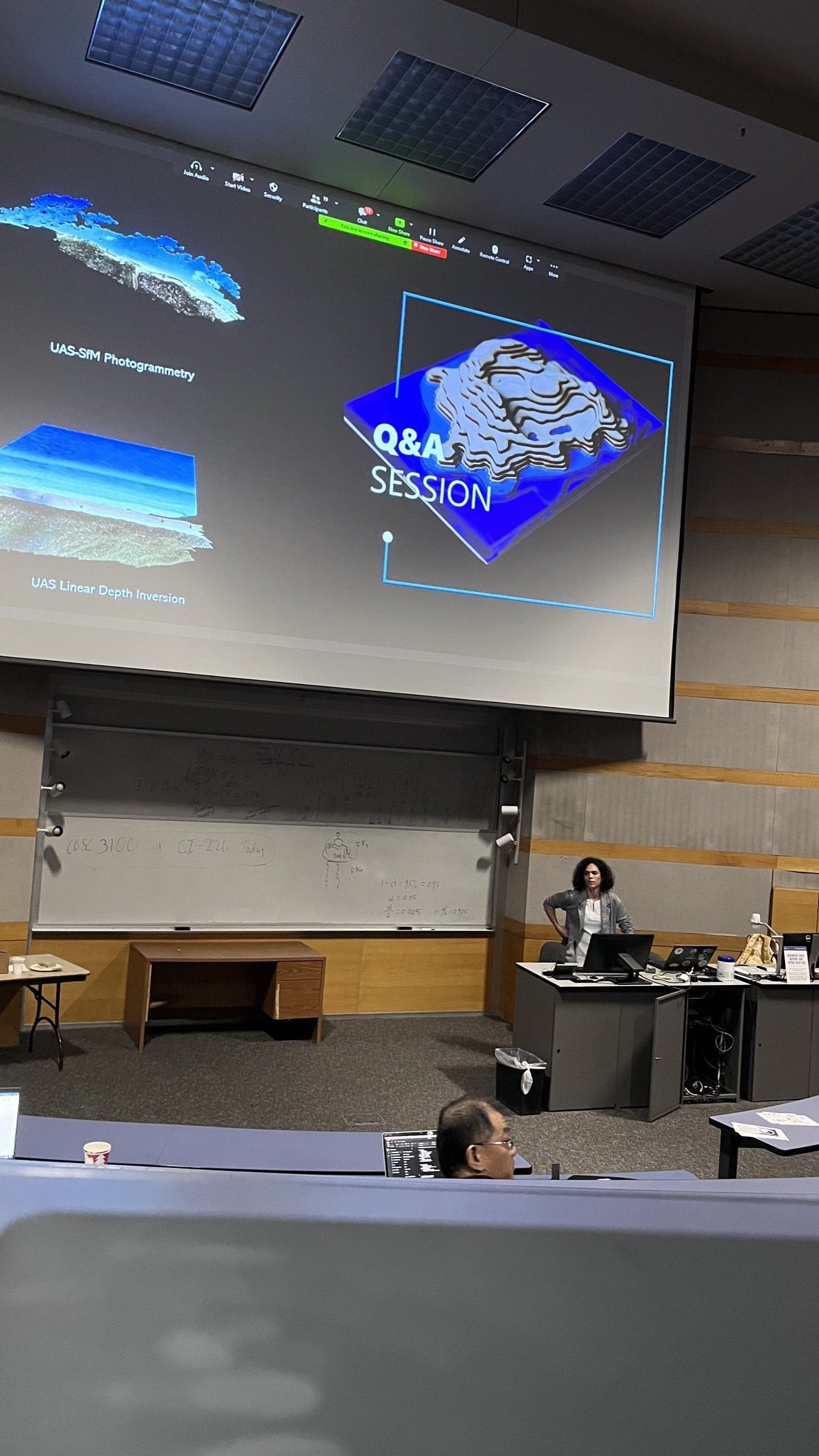
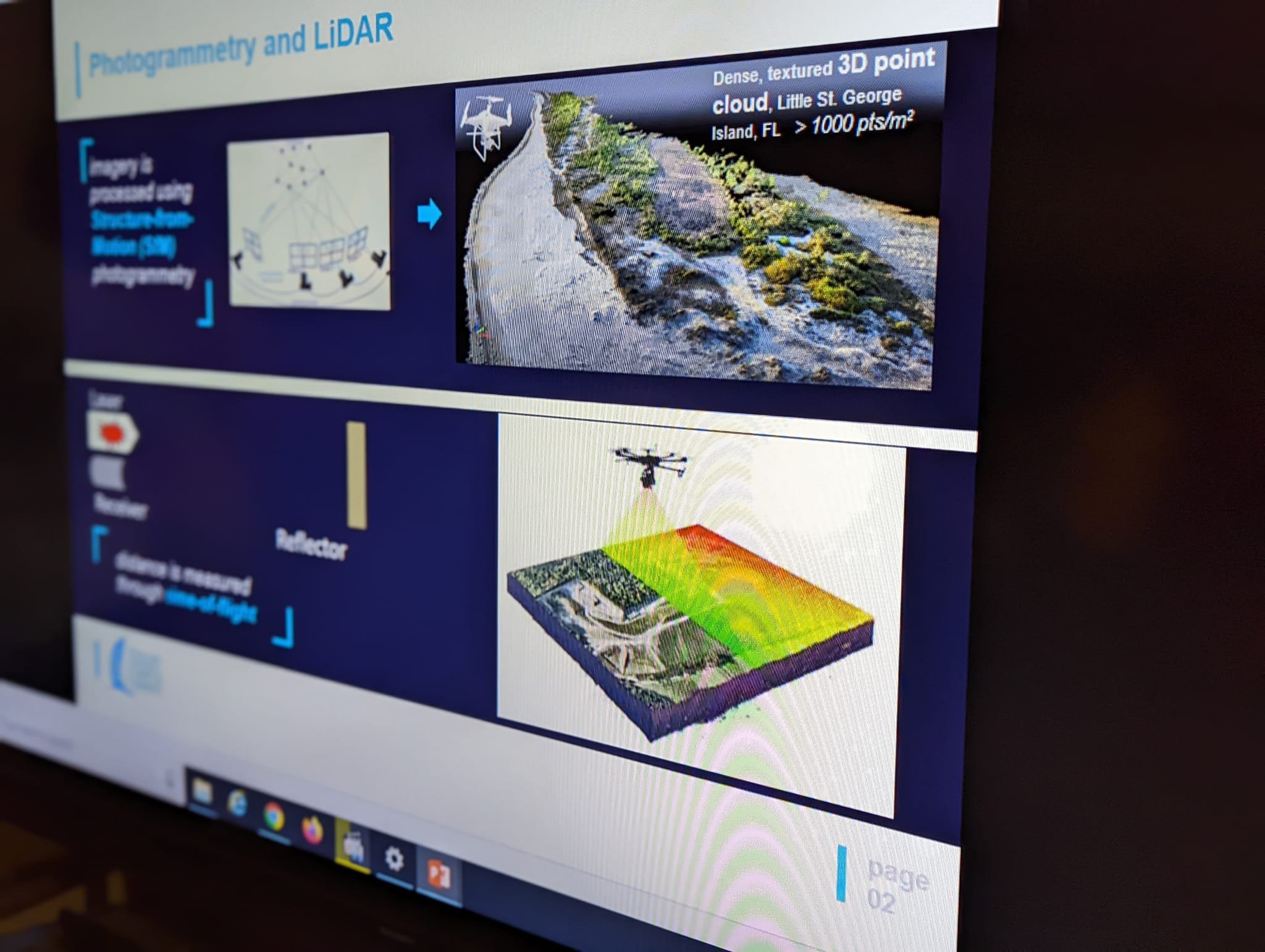
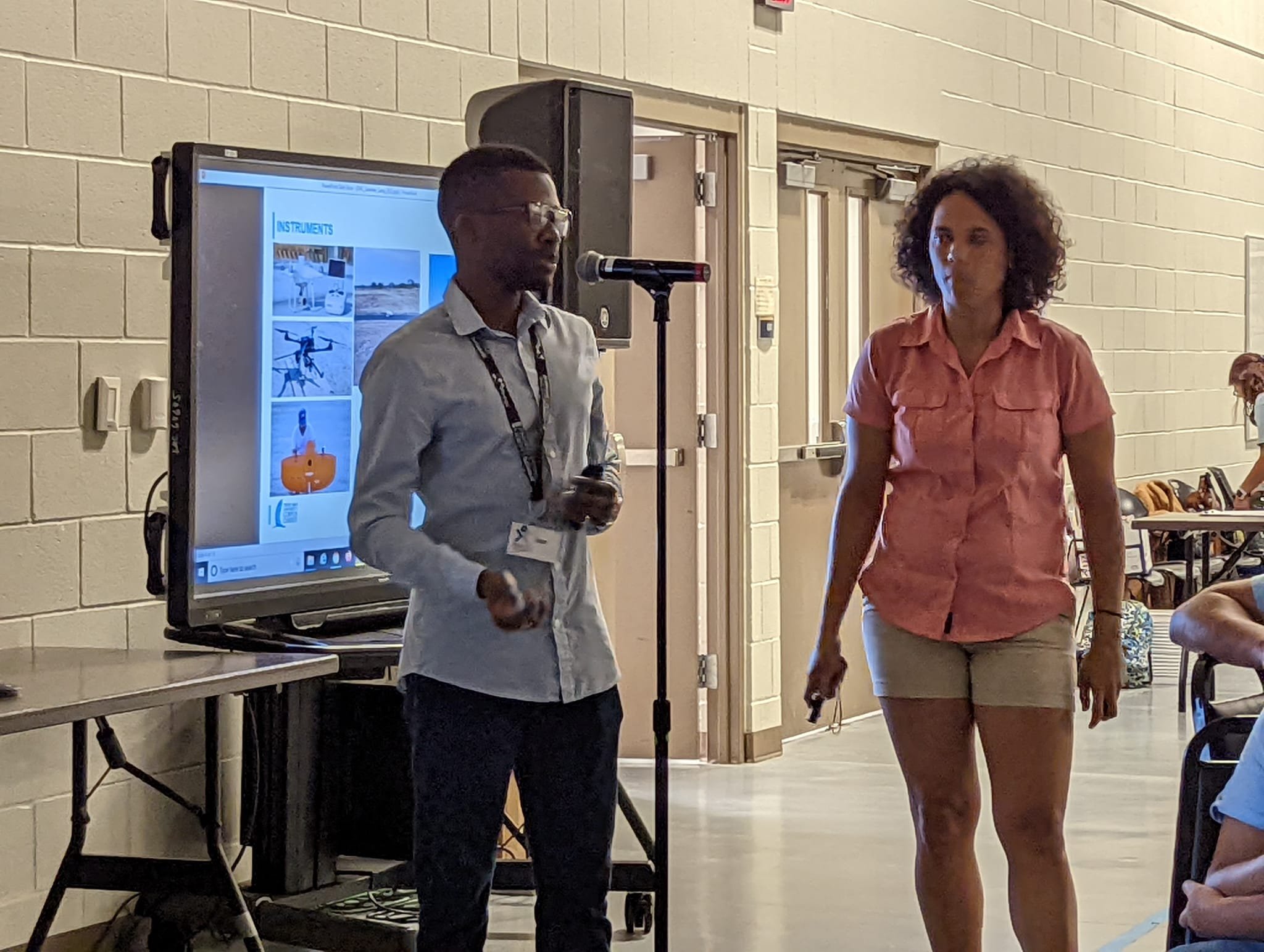
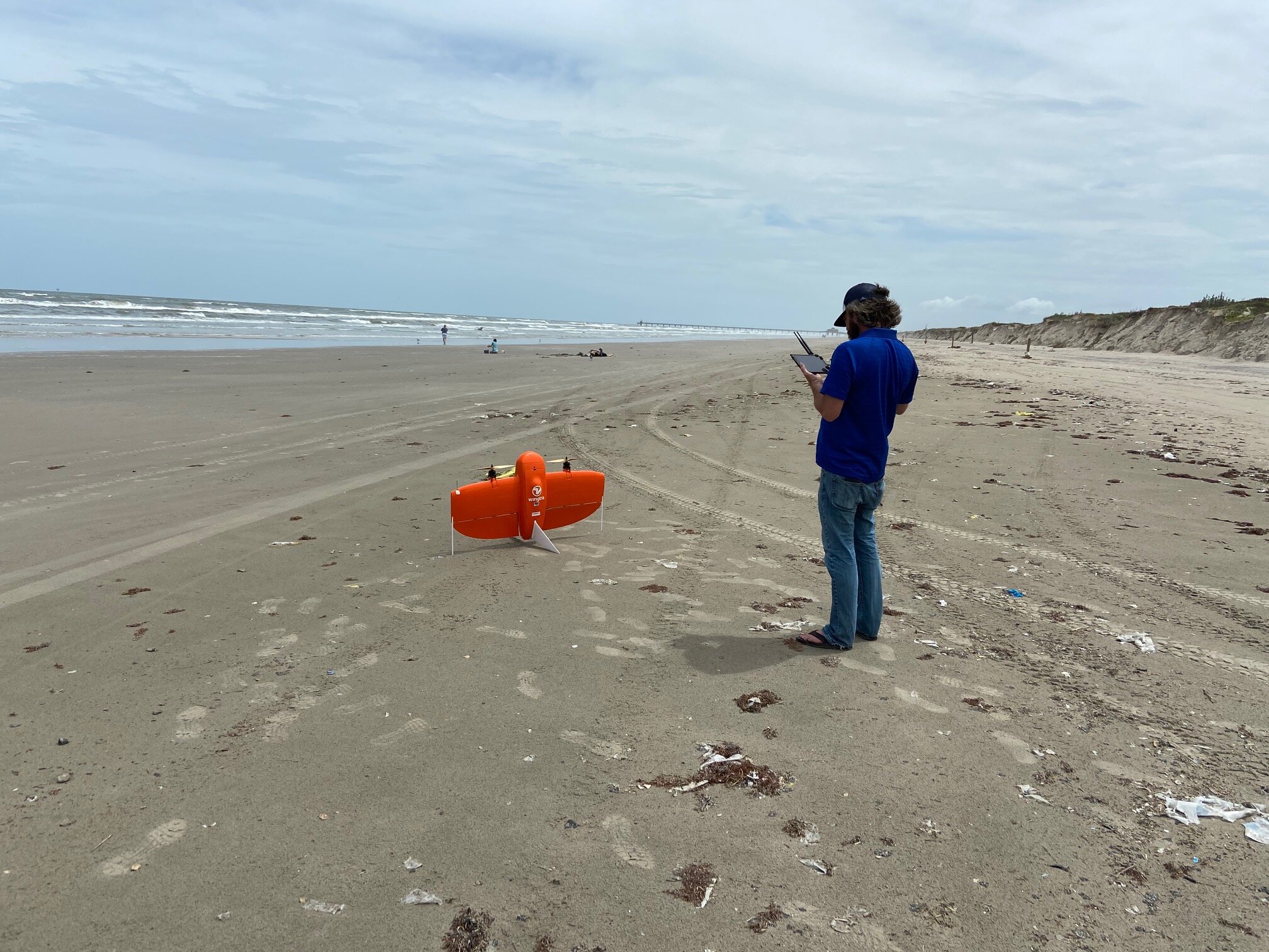
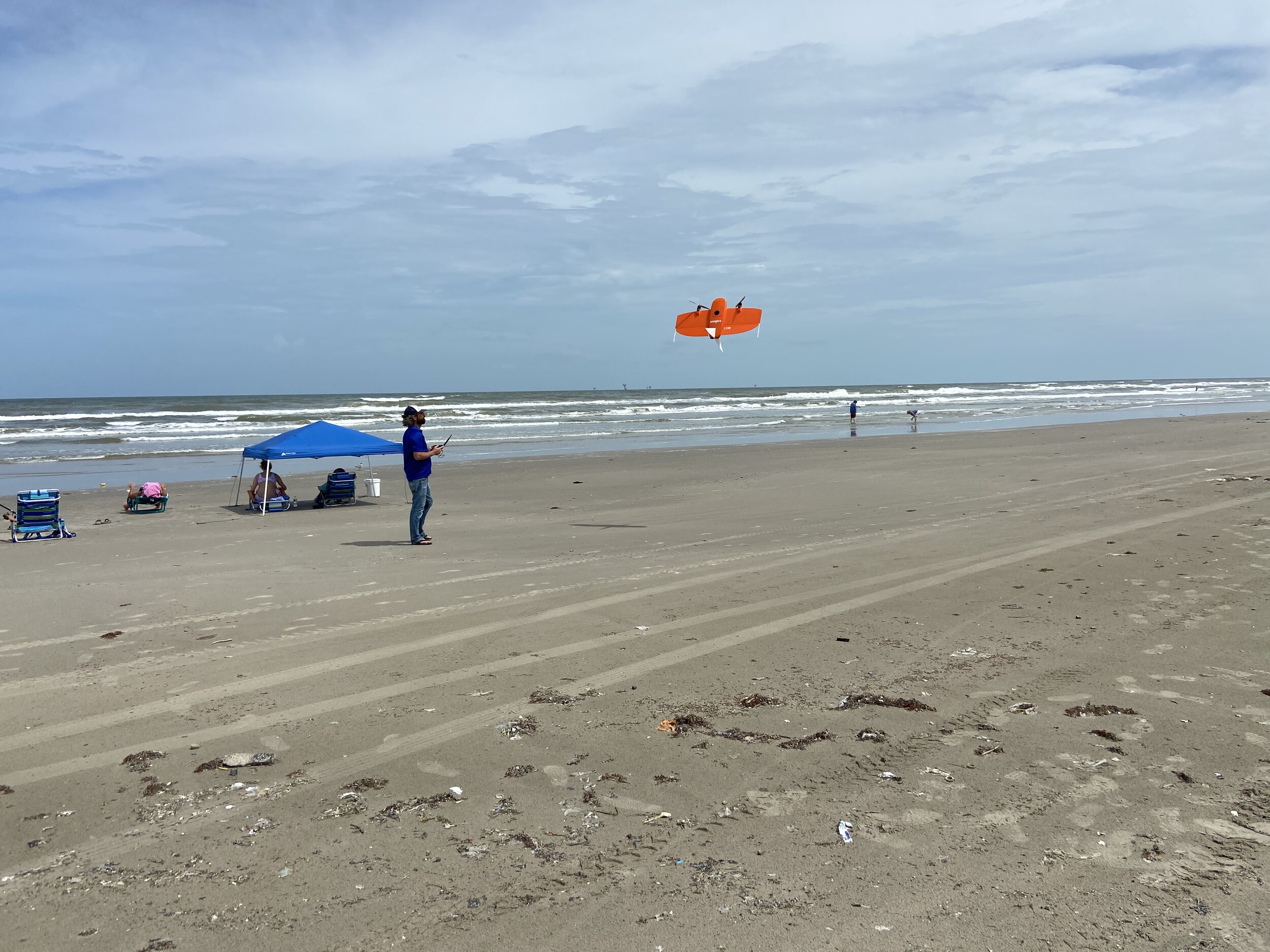
Recent years have witnessed enormous growth in the application of Unoccupied Aircraft Systems (UASs) equipped with hyper-resolution digital RGB cameras for mapping purposes with much higher accuracy than most traditional airborne and spaceborne technologies. UAS has the potential to provide geospatial data in raw image format instantaneously and inexpensively at local geographic scales. Large number of raw UAS images are later processed within a dedicated photogrammetry software. By applying Structure-from-Motion (SfM) photogrammetry on raw images, the software generates a very dense point cloud which represents the Earth’s surface using individual 3D points. Other geospatial products such as digital surface model (DSM) and orthomosaic image may later be generated. 

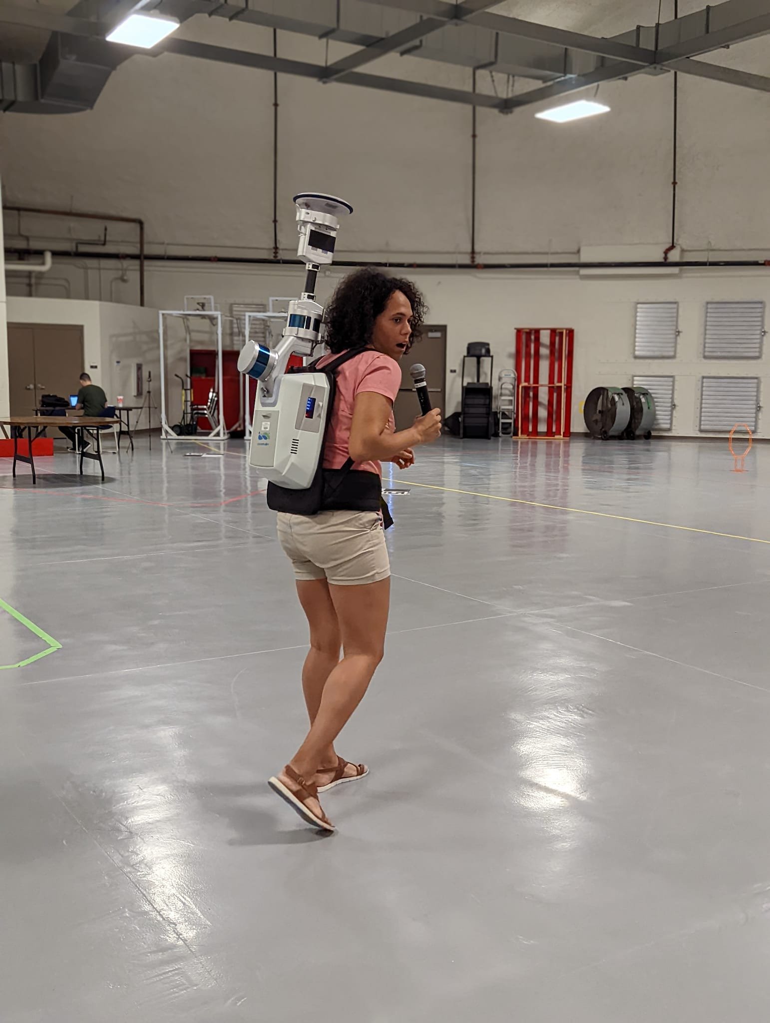
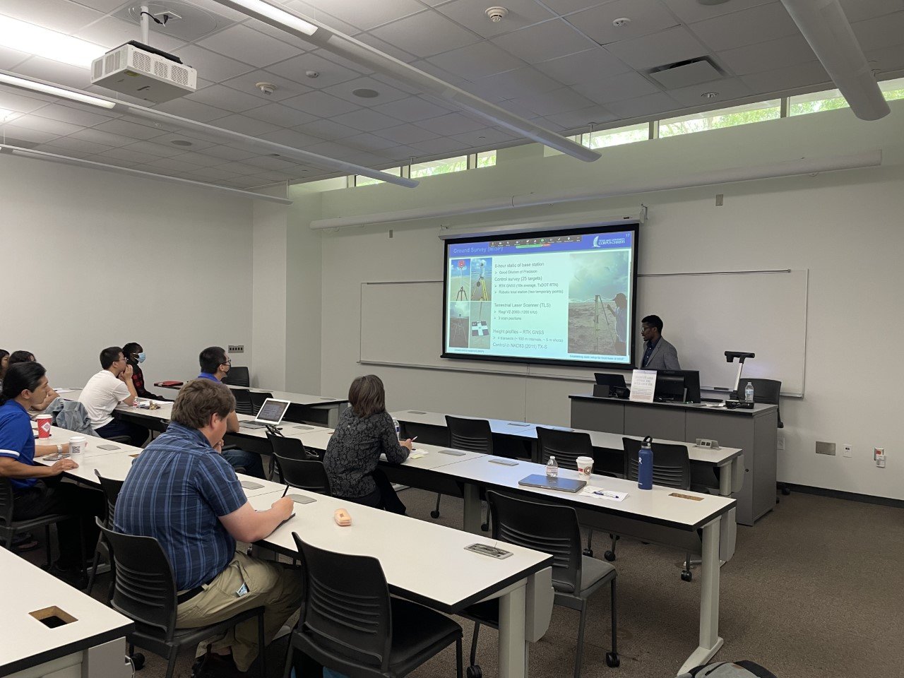
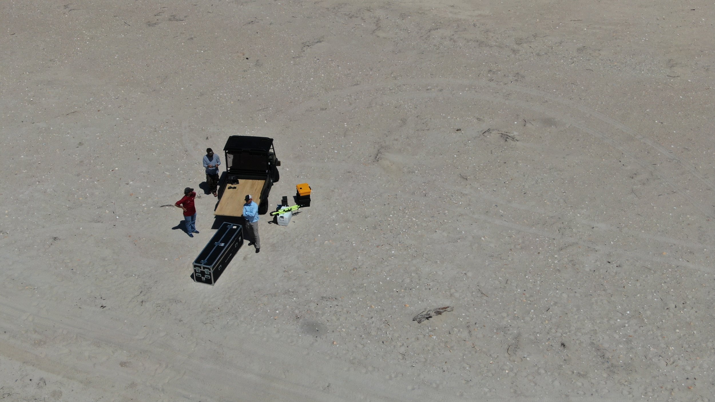
Furthermore, over the last decade, there has been a proliferation of commercially available light detection and ranging (lidar) systems, such as Terrestrial Laser Scanning (TLS), to directly measure precise distance to the object and its reflectance. TLS systems have been well-received in the geomatics engineering community because of their ability to collect large amount of data in discretized, highly accurate and precise 3D points format in a very short time without further processing, leading to a dramatic reduction in costs and faster local scale survey. Although it offers very high accurate 3D surface models, especially where other RS techniques may fail, such as very complex, inaccessible, and hazardous objects or areas, TLS suffers from occlusions which is highly probable in vegetated area.

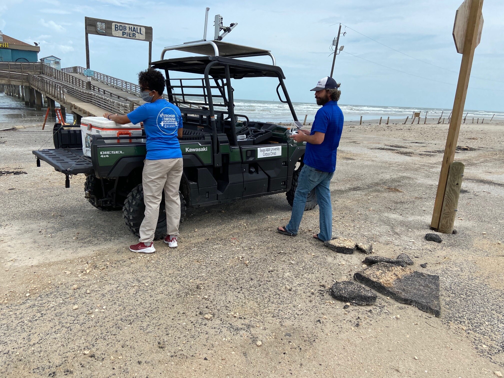
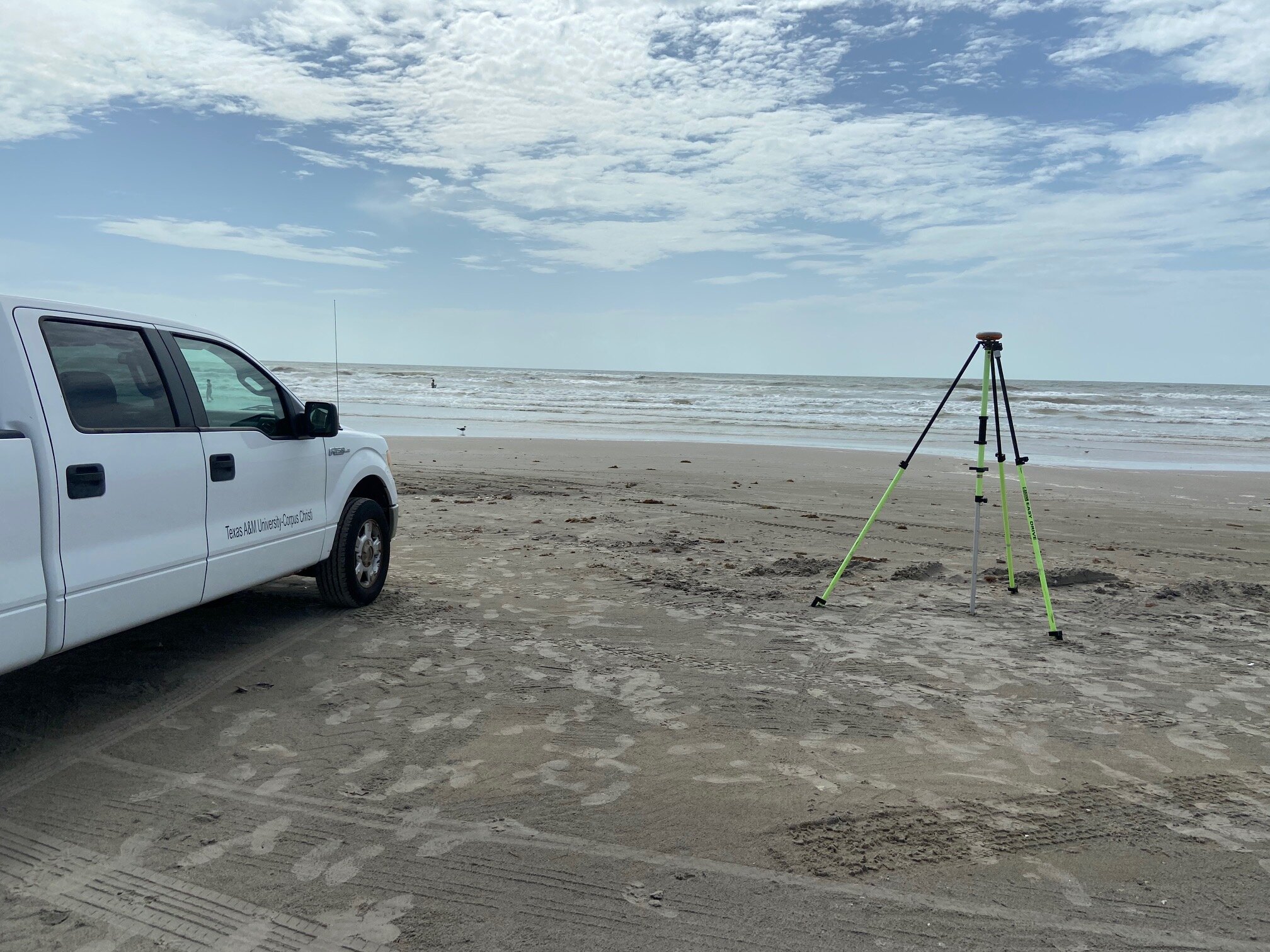
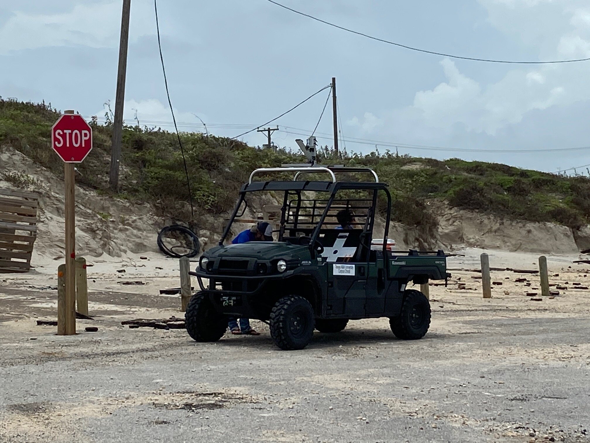
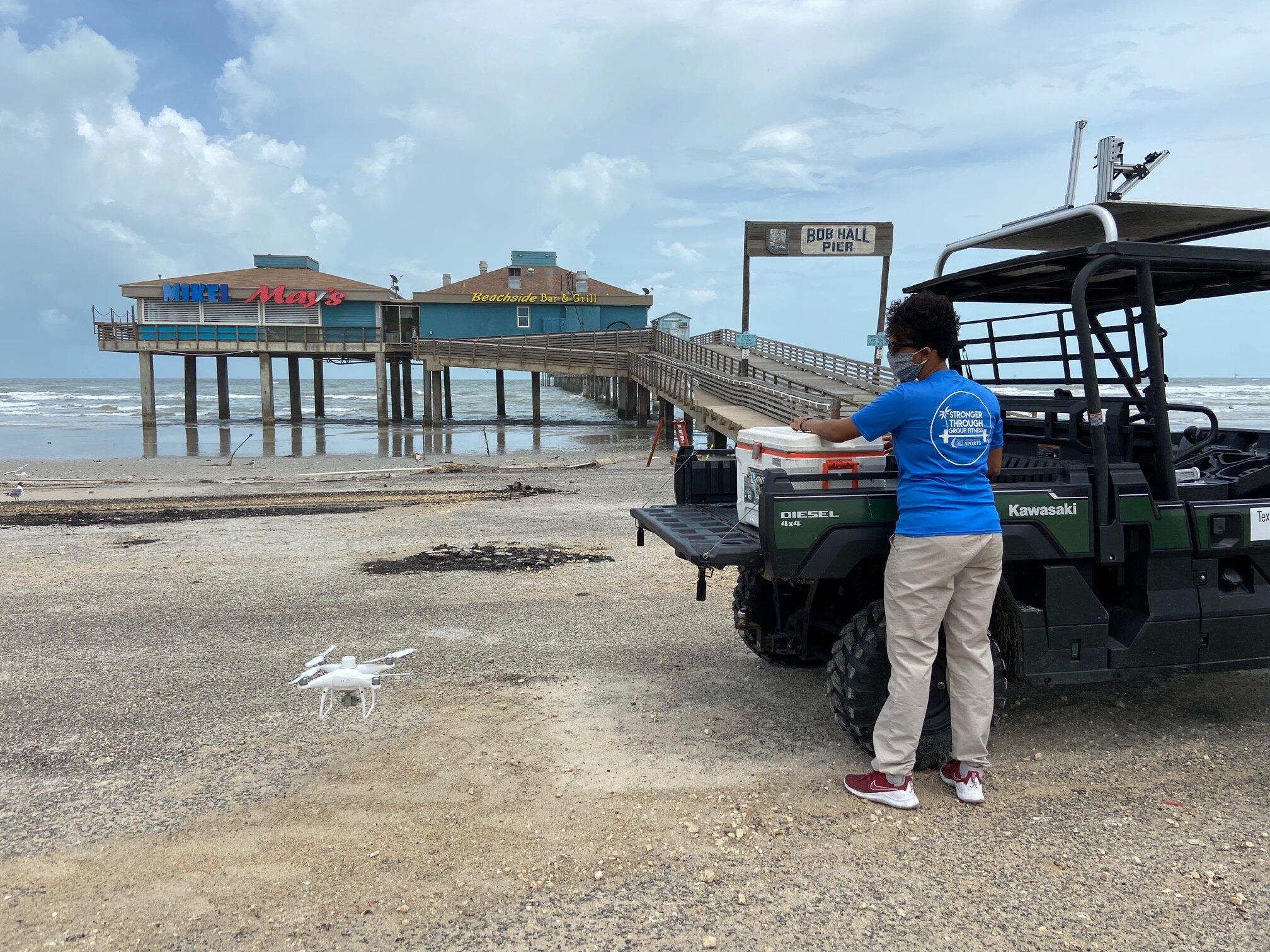
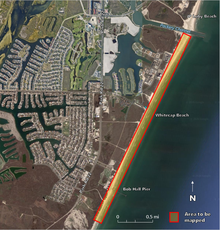
In this research, a wetland environment, called Mustang Island Wetland Observatory, located on a barrier island along the southern portion of the Texas Gulf Coast, USA, is considered as the experimental field for wetland mapping and land cover classification task. UAS hyperspatial images (with cm to sub-cm ground sampling distance (GSD)) and lidar data (with sub-cm range accuracy) using a full-waveform TLS system are acquired over the wetland area to feed into algorithms which are developed for mapping and classification tasks. Additional experiments take place at other structurally complex coastal environments in the region that include a mixture of natural terrain and built features.

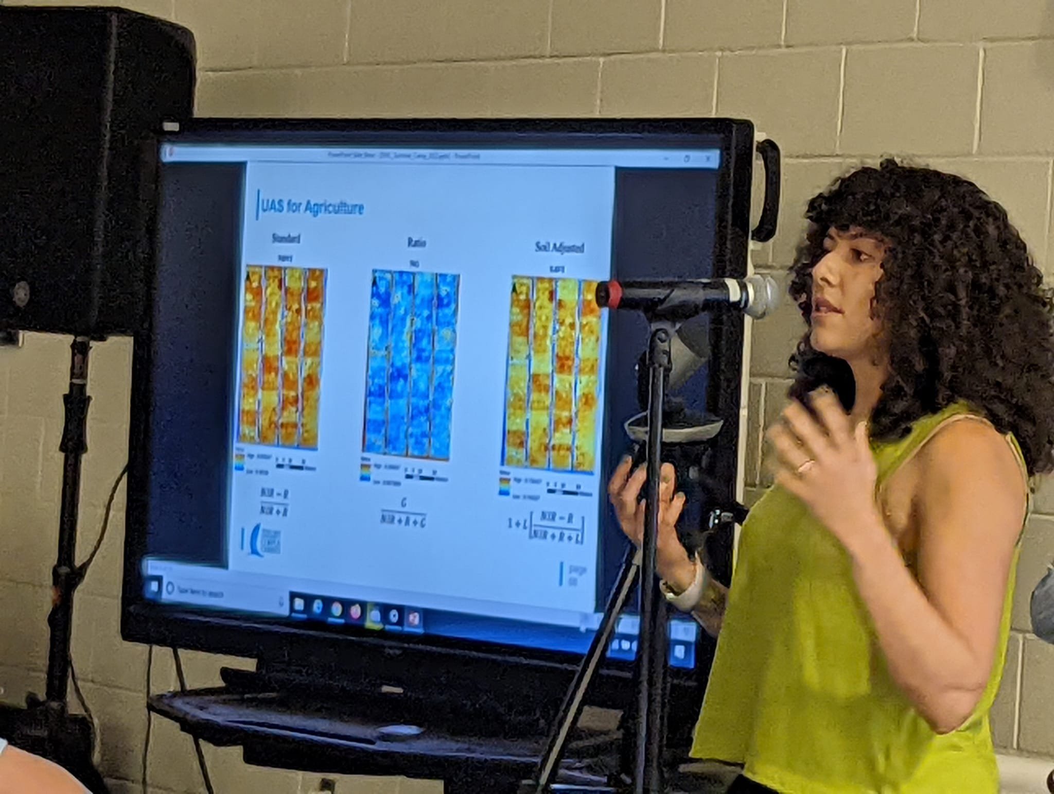
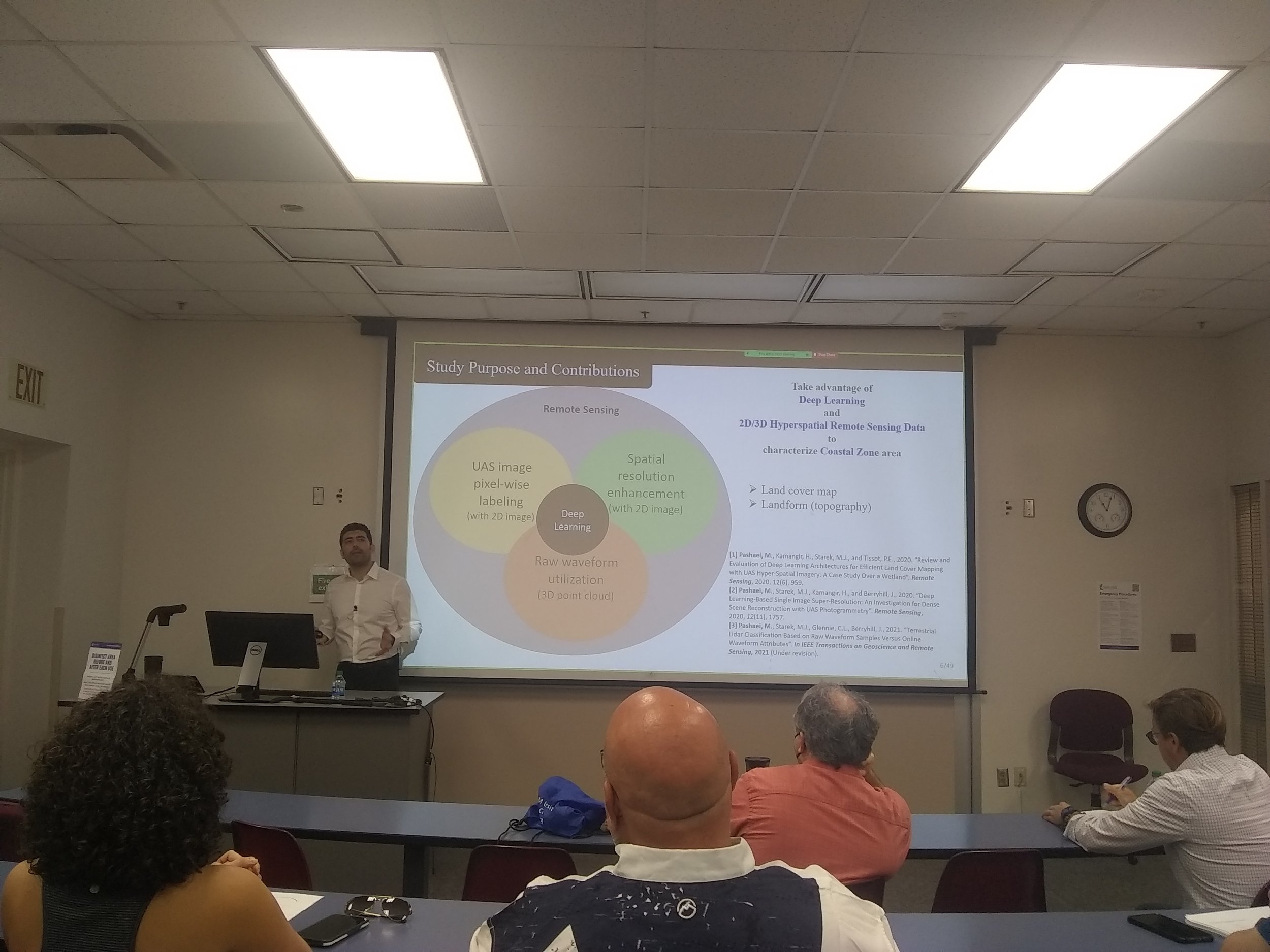
Land cover classification can be a very challenging task due to the spectral and spatial complexity of the study area. Specifically, for complex coastal wetlands, where targets show high inter-class similarities and intra-class variabilities in imagery, designing accurate and efficient features for traditional statistical and Machine Learning (ML) approaches may not be a simple task. Furthermore, radiometric distortions, boundary uncertainties among natural targets, and huge computational redundancies adds to the complexity of the problem. For land cover classification using hyperspatial UAS imagery, Deep Convolutional Neural Networks (DCNNs) approach, which has already shown the superiority of Deep Learning (DL) framework in many image analysis tasks, is proposed here. Our experiment examines different DCNN architectures and introduces the most efficient networks suitable for the RS image analysis task. Moreover, image super-resolution technique using DCNNs is recommended to predict high-resolution (HR) UAS images from corresponding low-resolution (LR) images. Spatial resolution enhancement of UAS images in combination with some level of noise reduction in resulting super-resolved (SR) image set leads to a significantly denser point cloud w.r.t LR image set with less uncertainty in SfM photogrammetry procedure. Finally, the potential of full-waveform TLS for accurate 3D modeling of the Earth’s surface and classifying ground and above ground targets is investigated by accurate analysis of the backscattered (BS) waveform within DL framework and examining its properties.

Edison Veloz Defends Thesis!

Despite the global pandemic, Mantis student, Edison Veloz, defended his thesis, Evaluation of Environmental Impacts Produced by Gold Mining on the Areas on the Surrounding Forest in Southwester Ecuador using Multispectral Satellite and UAS Imagery, on July 17th! Read his thesis abstract below to learn more.

ABSTRACT:

Mining is a dangerous activity that can cause environmental damage to flora and fauna due to the utilization of heavy metals. Ecuador has a long history of mineral extractions and nowadays the activity is increasing in many parts of the country. Environmentalists state that chemicals, such as cyanide and mercury, could cause alterations in vegetation health. This study utilizes satellite and Unmanned Aircraft System (UAS) based remote sensing to analyze impacts to vegetation health around a mining area located in Bella Rica within the El Oro province of the southwestern zone of Ecuador.

Vegetation can be analyzed and identified through many remote sensing techniques, one of them is the Normalized Difference Vegetation Index (NDVI). This band ratio index ranges from +1 to -1 and uses red and near-infrared (NIR) bands to identify the presence of healthy or stressed vegetation. In this study, a small rotary UAS equipped with a two-band sensor recording red and NIR reflectance and a separate red-green-blue (RGB) digital camera was used to gather data and determine if vegetation closer to the mine exhibited different NDVI patterns compared to vegetation located farther away. Spatial differences in NDVI patterns may indicate potential impacts of waste from mining operations . To provide a time series assessment of vegetation changes around the mine, satellite imagery from PlanetScope was acquired and analyzed to measure changes in NDVI throughout the last three years. PlanetScope uses an array of miniaturized satellites, called CubeSats, equipped with four-band multispectral sensors providing imagery at a resolution of 3 m ground sample distance (GSD). In comparison, spatial resolution of the UAS products, which is dependent on flying height, range from 2.97 cm GSD for the RGB camera to 11.4 cm GSD for the multispectral sensor. Satellite derived NDVI was statistically compared to UAS derived NDVI values to assess the impact of spatial resolution and sensor quality on NDVI measurement. Furthermore, the UAS acquired RGB imagery was processed using Structure from Motion (SfM) photogrammetry to derive a 3D reconstruction of the scene, referred to as a point cloud. Properties of the point cloud data were analyzed to determine if relationships exist between land cover structure and NDVI patterns captured in the UAS multispectral imagery.

From UAS based multispectral data, significant differences in NDVI values were found between vegetation close to the mining area and vegetation at longer distances (p < 0.05), indicating that mining waste could be altering NDVI values in the region. Satellite imagery analysis suggests that changes in NDVI are related to different human activities that have been developed inside the study area. UAS derived NDVI shows a strong linear relationship with PlanetScope derived NDVI (R = 0.91), suggesting that the low cost and light-weight sensor onboard the UAS was able to capture similar reflectance information but at much higher resolution.  UAS-SfM point cloud data was applied to measure spatial variation in point density and canopy height, and determine if these measures could serve as a proxy for NDVI to assess vegetation health impacts from the mining operation. Results varied with NDVI and point cloud density exhibiting a weak relationship (R = 0.04). This relationship held at multiple resolutions suggesting that scene texture and uniformity in the densification stage of SfM does not correlate well with variation in NDVI due to differences in canopy cover. Interestingly, point cloud density changes did show a connection to the type of vegetation with high values of point density occurring over the more densely canopied forest areas. In contrast to point cloud density, UAS-SfM derived canopy height measures exhibited much stronger correlation to the UAS multispectral NDVI values (R = 0.69).

Based on the available data and the examined time frame, this study has shown that mining activities have altered NDVI values in the surrounding vegetation at the study site. Moreover, this study has shown that a small UAS platform equipped with a low-cost multispectral sensor can provide similar NDVI values to satellite imagery, but at much higher resolution. The ability to fuse detailed UAS information at a local scale with high repeat frequency CubeSat remote sensing data provides an effective means for monitoring impacts of mining operations at local to regional scales. Finally, results suggest that 3D point cloud data generated from UAS-SfM photogrammetry can enable effective characterization of vegetation structure and canopy height around mining operations providing another tool beyond NDVI to monitor impacts on vegetation growth and health.

MANTIS Professors' Work Gets Press Coverage from Lidar News!

lidarnews.PNG

The Viewshed Simulation and Optmization for Digital Terrain Modelling with Terrestrial Laser Scanning article written in-part by MANTIS’ own Dr. Michael Starek and Dr. Tianxing Chu, and co-authors Dr. Helena Mitasova and Dr. Russel S. Harmon, had press coverage on the Lidar News blog!

Lidar News provides the most current information regarding 3D laser scanning, lidar, UASs, and photogrammetry. The aforementioned article was published on the Lidar News blog on June 15, 2020.

Kelsi Schwind Wins Blue Marble Geographics Scholarship!

The Blue Marble Geographics academic scholarship is awarded each year to a graduate student who has demonstrated proficiency in Global Mapper® in a research project. On February 6, 2020, Kelsi received this scholarship for her research integrating structure-from-motion (SfM) data, airborne topobathymetric lidar-derived data, and GIS techniques to assess the impacts of Hurricane Michael on Little St. George Barrier Island in Apalachicola, Florida.

MANTIS Achievements Winter 2019/2020

BRADLEY KOSKOWICH, GSCS PH.D. STUDENT, defends phd proposal

On 2/13/20, BradleyKoskowich of MANTIS Lab passed his PhD qualifying exams on his proposed topic, Efficiently Localizing Monocular Images Using Image Synthesis, Point Cloud Products & Keypoint Densification. See his abstract below for more details!

ABSTRACT: 

Human beings possess powerful visual abilities which are used to navigate space, coordinate our actions, and correlate the contents of a perspective image with an approximate knowledge of the location the image would have been taken from, intuitively and from little more than the image itself. This lends itself to further abilities to create logical conclusions about the nature of an inferred three-dimensional space based on a series of two-dimensional observations. Recreating this same process digitally is a thoroughly studied problem which has seen years of computer vision research, namely feature detection & description, structure-from-motion (SfM), and their applications in simultaneous localization and mapping (SLAM). Variations and permutations of SLAM solutions have been proposed since its initial inception, and as of recent years have leaned towards incorporating additional hardware to improve their results, such as inertial motion units and global navigation satellite systems. However, the nature of incorporating additional data dimensions in these SLAM solutions alters it such that it the problem becomes intractable in the event of catastrophic interference or data loss from any dimension. While there have been attempts to mitigate or even read hardware interference and leverage it as additional information, such methods are not robust to even a partial systems failure. And systems which have proven robust to such failures incur significant pre-processing or computational time overhead, none of which propose to be suitable for real-time applications. This proposal assesses the need to decouple the localization component of SLAM solutions from the rest of the processing pipeline, allowing for flexible input datasets with tolerance for extreme noise. This proposal details mechanisms which can be developed and combined specifically to enable high performance POSE estimation as part of this flexible localization process, later incorporated into a robust and tolerant SLAM solution as a hybrid of typical algorithms and neural networks.

MANTIS in Apalachicola

Since 2016, members of MANTIS Lab and CBI field crew have collaborated with the Apalachicola National Estuarine Research Reserve’s (ANERR) Megan Lamb for week-long field campaigns supported by National Oceanic and Atmospheric Administration’s (NOAA) subsidiary, the National Geodetic Survey (NGS). Each year, the crew gathers Terrestrial Laser Scanner (TLS) and Unmanned Aerial Systems (UAS) data for one site on the main barrier island, Saint George Island, and from several sites on “Little” Saint George Island (it is the western component of the island that was split away from Saint George Island by Bob Sike’s Government Cut in 1954). The Saint George Island site is NOAA’s Unit 4 SET site while the “Little” Saint George sites include several beach profiles (D341, R4, R41, and R29) and several historical photosites (Westpass, Bayside, and Sike’s Government Cut). This data collection is part of an NGS gulf-wide research initiative to develop and improve current Relative Sea Level Rise (RSLR) models for the gulf coast by gathering high-resolution spatial (elevation) data.

Map of the eight sites surveyed annually by MANTIS, CBI, and ANERR.

Map of the eight sites surveyed annually by MANTIS, CBI, and ANERR.

A gator sunning herself on “Little” Saint George Island.

A gator sunning herself on “Little” Saint George Island.

The TLS crew setting up a base at Saint George Island.

The TLS crew setting up a base at Saint George Island.

Vapor 55 crew surveying one of the beach profiles on “Little” Saint George Island.

Vapor 55 crew surveying one of the beach profiles on “Little” Saint George Island.

Aerial View of the bay side of “Little” Saint George Island.

Aerial View of the bay side of “Little” Saint George Island.

This year’s trip began May 20th and ended May 27th and included MANTIS’ director, Michael Starek, CBI’s Research Engineering Associates, Alistair Lord and Zachary Hasdorff, MANTIS Lab Manager, Melanie Gingras, and MANTIS master’s students, Jake Berryhill and Kevin Wilson. During the week, the crew used new platforms including the Wingtra WingtraOne and Pulse Aerospace Vapor 55 as well as tried-and-true platforms from previous Apalachicola field campaigns including the DJI Mavic, DJI Pantom 4, and Riegl VZ400 Terrestrial Laser Scanner (TLS). When georeferenced using RTK GPS control points. This data will generate point clouds that provide high spatial resolution data to monitor elevation changes as small as a couple centimeters and othomosaic imagery with pixel sizes on the order of 2cm GSD or less.

The Apalachicola field crew after their last day of field work on “Little” Saint George Island: Megan Lamb (top bow), Melanie Gingras (bottom bow), Jake Berryhill (top middle), Zachary Hasdorff (bottom middle), Alistair Lord (top stern), Kevin Wilso…

The Apalachicola field crew after their last day of field work on “Little” Saint George Island: Megan Lamb (top bow), Melanie Gingras (bottom bow), Jake Berryhill (top middle), Zachary Hasdorff (bottom middle), Alistair Lord (top stern), Kevin Wilson (middle stern), and Michael Starek (bottom stern)

To see video footage from our YouTube channel: