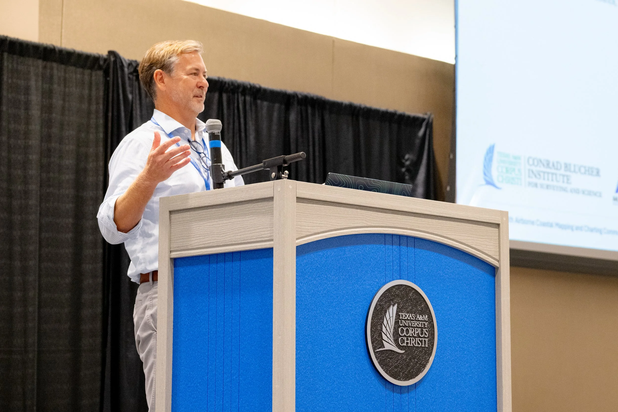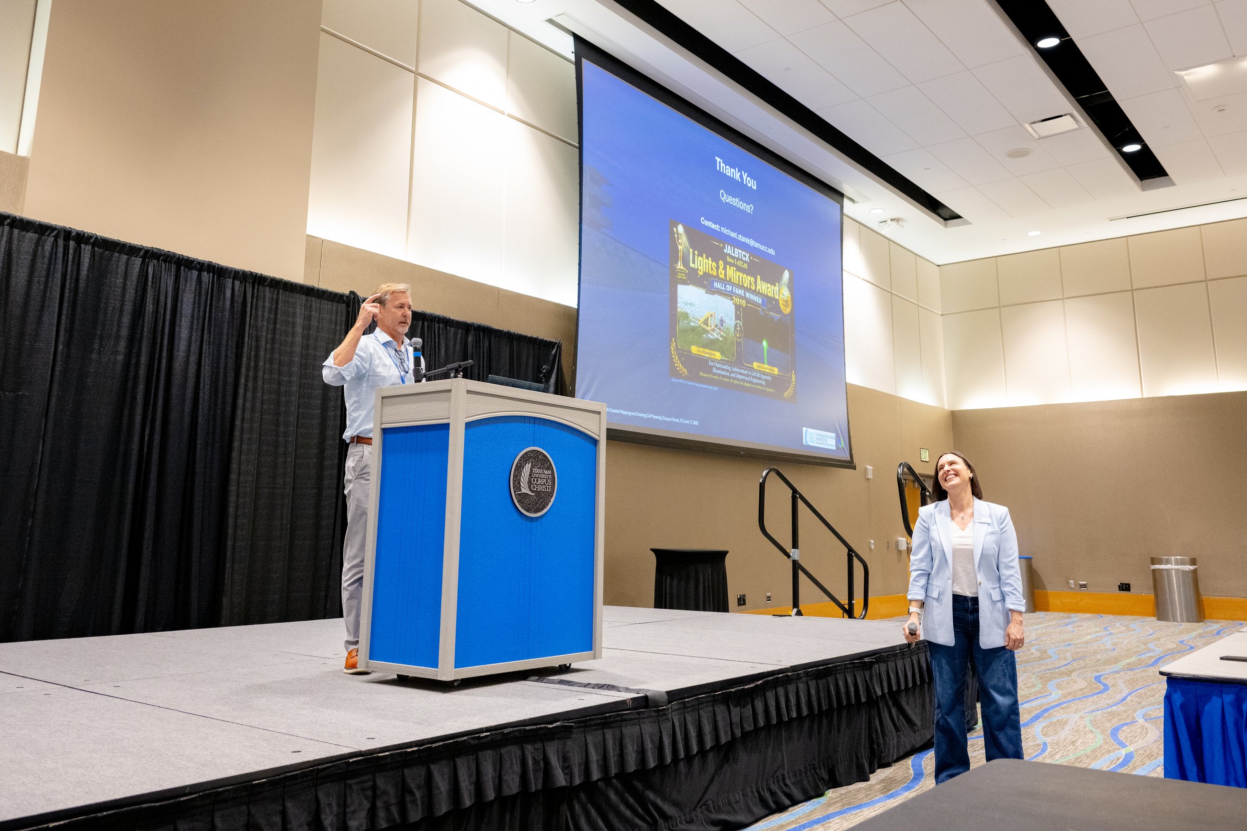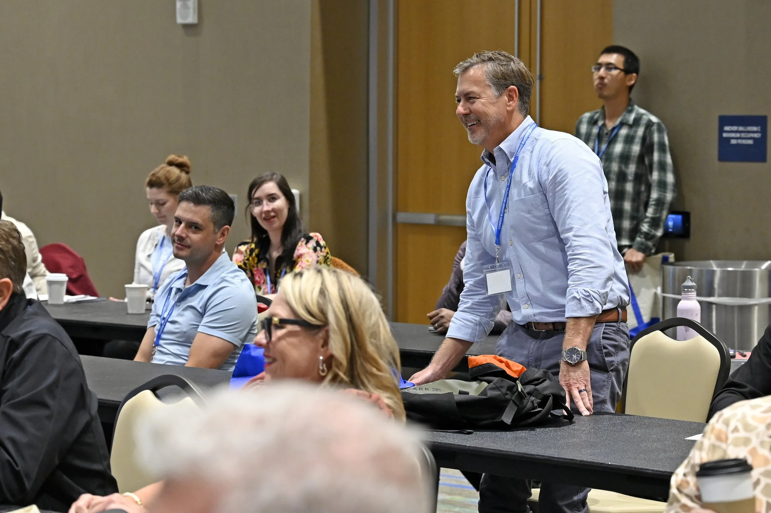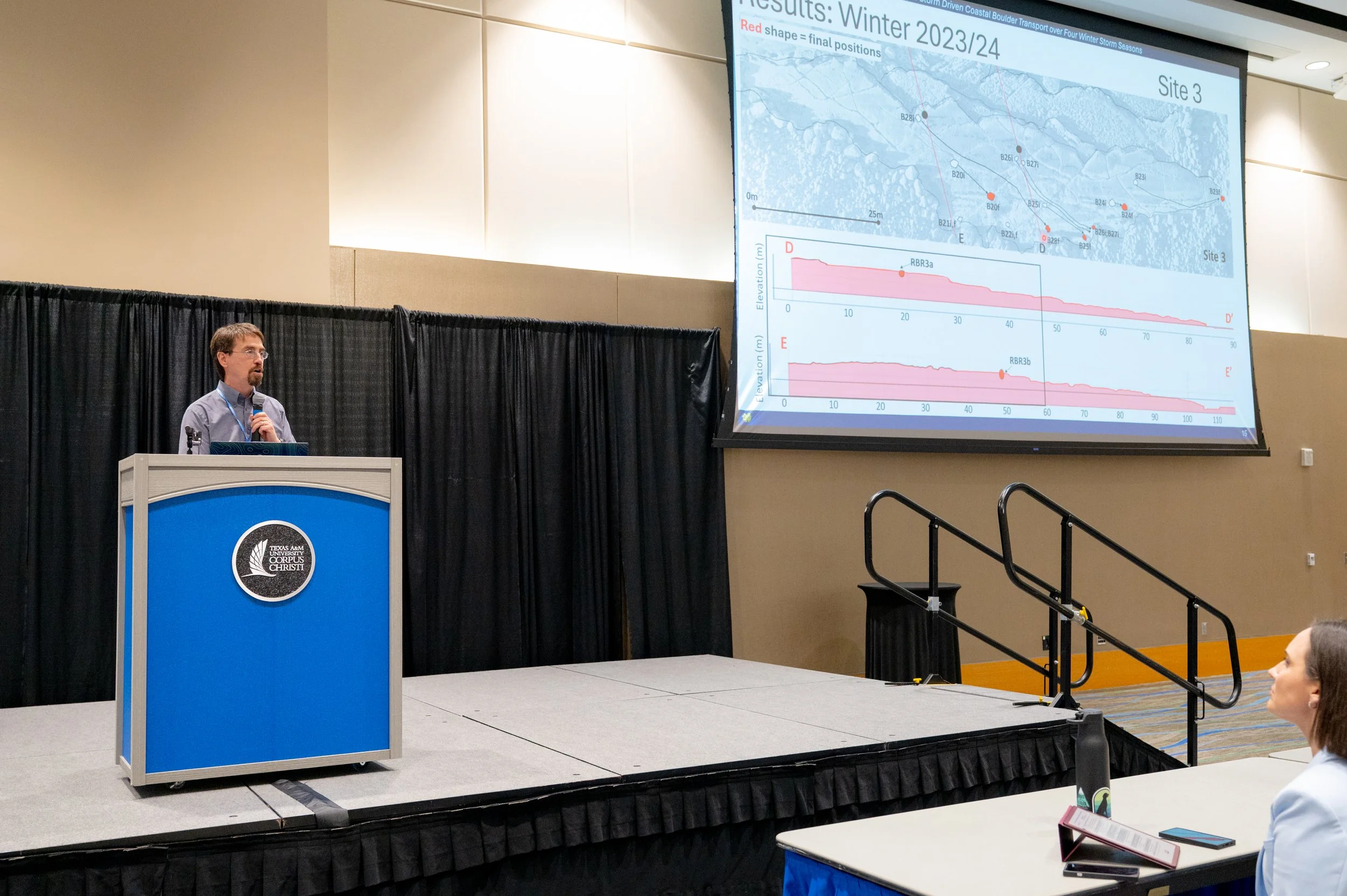
Members of the MANTIS Lab recently attended and volunteered at the 24th Airborne Coastal Mapping and Charting Community of Practice Meeting. Organized by Interagency Airborne Technologies for Lidar, Analysis, and Surveying (I-ATLAS), the meeting was held at Texas A&M University-Corpus Christi (June 16-18) and brought together professionals from government, academia, and industry. It featured technical presentations, breakout sessions, demonstrations, and panel discussions focused on the latest developments in airborne lidar, bathymetry, coastal mapping, and nautical charting.
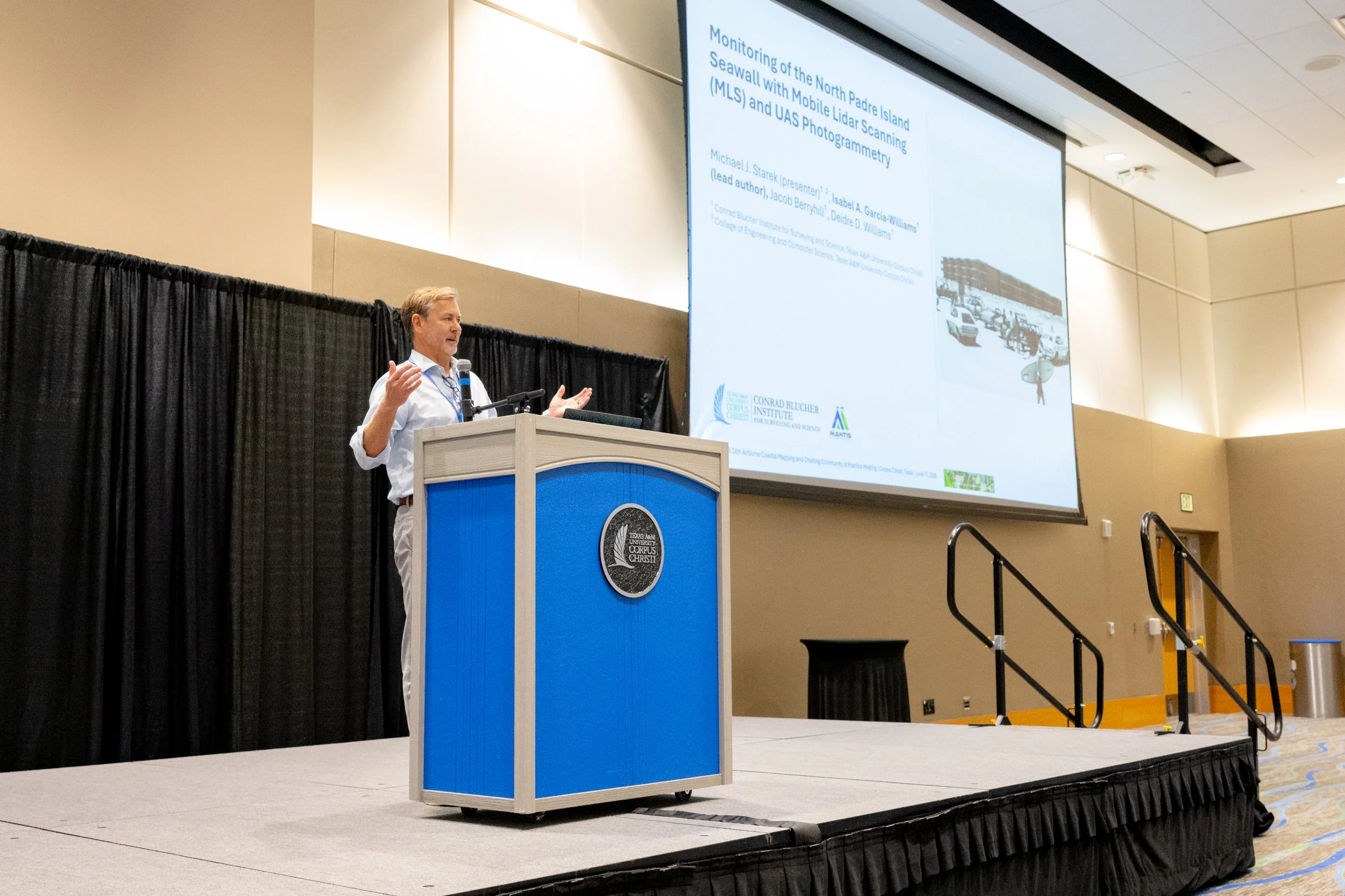
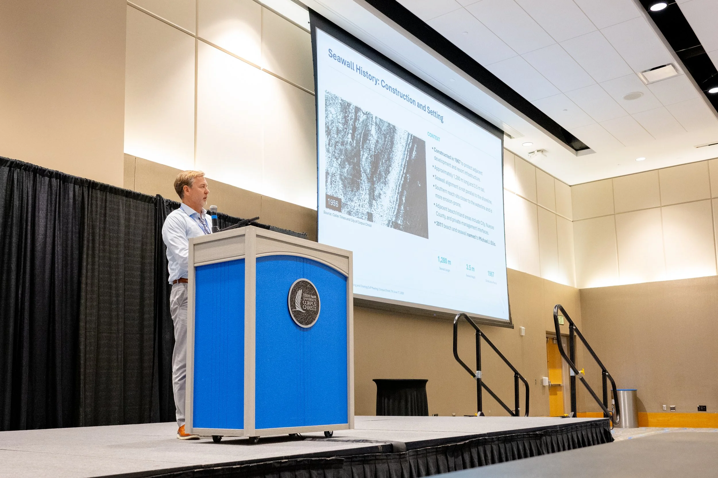
MANTIS members supported the event as volunteers while engaging with researchers and practitioners working to advance coastal surveying and mapping technologies. MANTIS Director Dr. Michael J. Starek also contributed to the technical program by presenting “Monitoring of the North Padre Island Seawall with Mobile Laser Scanning (MLS) and UAS Photogrammetry.” The presentation highlighted the complementary use of mobile laser scanning and uncrewed aircraft system photogrammetry to collect detailed geospatial information along the seawall and adjacent beach. These technologies support repeat monitoring of coastal morphology and provide valuable information for evaluating changes in beach conditions and informing coastal management. MANTIS’s participation in the meeting reflects the laboratory’s continued commitment to advancing remote sensing research, supporting the professional geospatial community, and developing practical approaches for monitoring dynamic coastal environments.